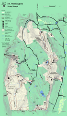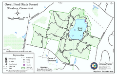
Great Pond State Park trail map
Trail map of Great Pond State Forest in Connecticut.
471 miles away
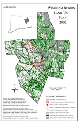
2002 Windham Region Land Use Map
Regional Land Use Guide Map for Planning Purposes
471 miles away
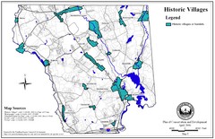
Historic Villages of Mansfield, Connecticut Map
Historical villages outlined on the map of the existing city.
471 miles away
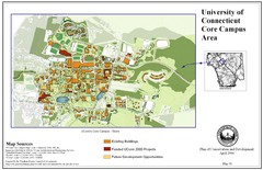
University of Connecticut Campus Map
Map shows current, funded projects and future development for UConn.
471 miles away
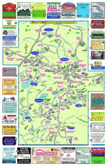
Columbia County - Boston Corners, Copake, Copake...
Tourist map of Columbia County, Mass. Includes towns of Boston Corners, Copake, Copake Falls...
472 miles away
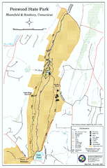
Penwood State Park map
Trail map of Penwood State Park in Connecticut.
473 miles away
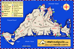
Martha's Vineyard Island Map
Tourist map of island of Martha's Vineyard, Massachusetts.
473 miles away
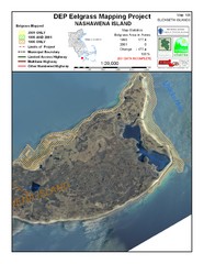
Nashawena Island Eelgrass Map
473 miles away
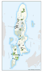
Conanicut Island Land Trust Map
Shows 430 acres of property on Conanicut Island, RI stewarded by the Conanicut Island Land Trust
473 miles away
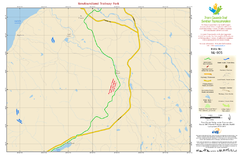
Newfoundland Trailway Park NL-005 Map
473 miles away
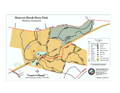
Stratton Brook State Park map
Trail map of Stratton Brook State Park in Connecticut.
473 miles away
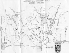
Arcadia Management Area State Map
Trail map for Arcadia Management Area in Rhode Island
474 miles away
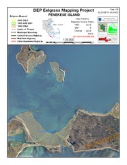
Penekese Island Eelgrass Map
474 miles away
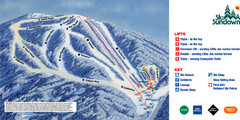
Ski Sundown Ski Trail Map
Trail map from Ski Sundown, which provides downhill and night skiing. It has 5 lifts servicing 15...
474 miles away
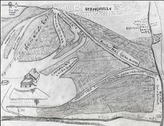
Pine Tree Ski Trail Map
Trail map from Pine Tree.
474 miles away
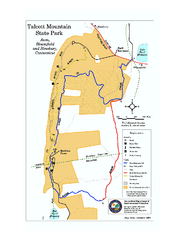
Talcott Mountain State Park map
Trail map of Talcott Mountain State Park in Connecticut.
475 miles away
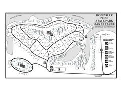
Hopeville Pond campground map
Campground map of Hopeville Pond State Park in Connecticut.
475 miles away
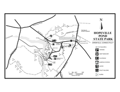
Hopeville Pond State Park trail map
Trail map for Hopevill Pond State Park in Connecticut
475 miles away
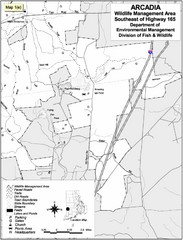
Arcadia Wildlife Management Area Map - Southeast
Reference map shows portion of Arcadia Wildlife Management Area, Rhode Island southeast of Highway...
475 miles away
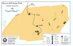
Dennis Hill State Park map
Trail map of Dennis Hill State Park in Connecticut.
475 miles away
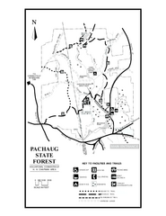
Pachaug State Forest map
Trail map of Pachaug State Forest in Connecticut.
475 miles away
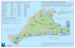
Martha's Vineyard Watershed Map
475 miles away
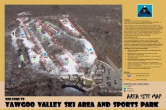
Yawgoo Valley Ski Trail map
Map of Yawgoo Valley Ski area in Exeter, Rhode Island. It is the only skiing resort in Rhode...
475 miles away
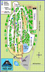
Yawgoo Valley Ski Area Ski Trail Map
Trail map from Yawgoo Valley Ski Area.
475 miles away
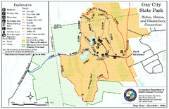
Gay City State Park trail map
Trail map of Gay City State Park in Connecticut.
475 miles away

Newfoundland Trailway Park NL-006 Map
475 miles away

Wadsworth Athenium Museum Location Map
Wadsworth Athenium visitor location map with locations of major buildings, streets, parks, and...
477 miles away
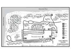
Salt Rock State Park campground map
Campground Map of Salt Rock State Campground in Connecticut.
477 miles away
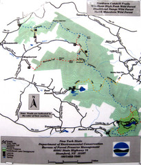
Northern Catskill Trail Map
Trail map shows hiking trails in the northern Catskills of New York. Shows trails in Windham High...
478 miles away
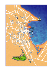
Nantucket Town Street Map
Tourist map of town of Nantucket on Nantucket Island. Shows major streets and points of interest...
478 miles away
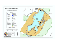
Burr Pond State Park map
Map of Burr Pond State Park in Connecticut.
478 miles away
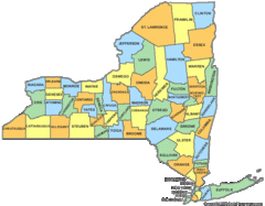
New York Counties Map
479 miles away
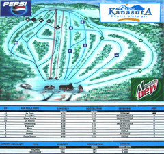
Mont Kanasuta Ski Trail Map
Trail map from Mont Kanasuta, which provides downhill skiing. This ski area has its own website.
479 miles away
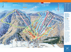
Windham Mountain Ski Trail Map
Trail map from Windham Mountain.
479 miles away
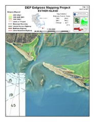
Esther Island Map
DEP Eelgrass map of Esther Island, Nantucket
479 miles away
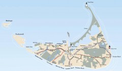
Tourist Map of Nantucket Island
Tourist map of Nantucket Island. Shows all towns and information.
479 miles away
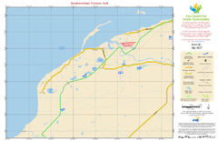
Newfoundland Trailway Park NL-007 Map
480 miles away
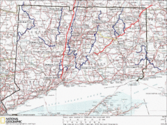
Connecticut Long Distance Trails Map
A map of long distance trails throughout Connecticut. Go to the website below for detailed trail...
480 miles away
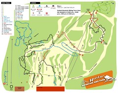
Hunter Mountain Bike Park Map
Map of bike trails in park
482 miles away

