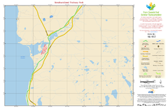
Newfoundland Trailway Park NL-002 Map
456 miles away
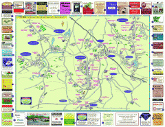
Columbia County - Austerlitz, Canaan, Chatham...
Tourist map of Columbia County including towns of Austerlitz, Canaan, Chatham, East Chatham Ghent...
457 miles away
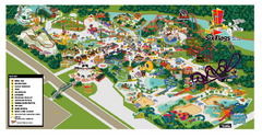
Six Flags New England Theme Park Map
Official Park Map of Six Flags New England in Massachusetts.
457 miles away
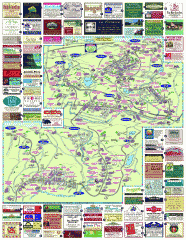
South County Berkshires map
Tourist map of Great Barrington, Housatonic, Sheffield, S. Egremont, N. Egremont Lenox, Stockbridge...
457 miles away

Newfoundland Trailway Park/Wreckhouse Trail NL...
457 miles away
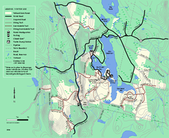
Tolland State Forest winter trail map
Winter usage trail map of the Tolland State Forest area in Massachusetts.
459 miles away
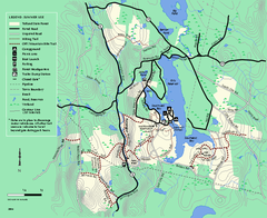
Tolland State Forest summer trail map
Summer use map for Tolland State Forest in Massachusetts.
459 miles away
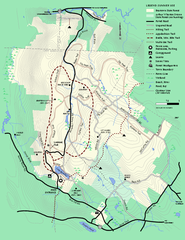
Beartown State Park Summer Map
Summer Map of Beartown State Park in Massachusetts.
459 miles away
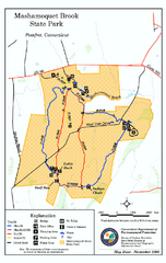
Mashamoquet Brook State Park trail map
Trail map of Mashamoquet Brook State Park in Connecticut.
460 miles away
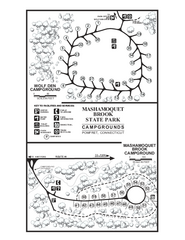
Mashamoquet Brook State Park campground map
Campground map of Mashamoquet Brook State Park in Connecticut.
460 miles away
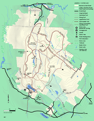
Beartown State Park Winter Map
Winter use map of Beartown State Park in Massachusetts
460 miles away
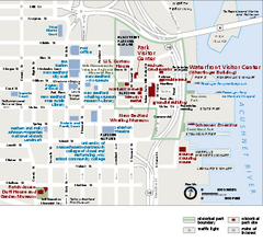
New Bedford Whaling National Historical Park...
Official NPS map of New Bedford Whaling National Historical Park in Massachusetts. Map shows all...
461 miles away
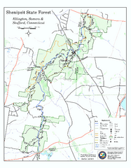
Trail map of Shenipsit State Forest
Trail map of Shenipsit State Forest in Connecticut.
461 miles away
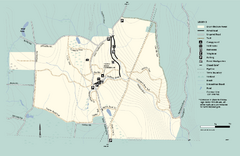
Granville State Forest trail map
Trail map of Granville State Forest in Massachusetts
463 miles away
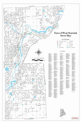
West Warwick Town Map
Street map of W. Warwick
463 miles away
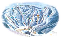
Butternut Ski Area Ski Trail Map
Trail map from Butternut Ski Area.
464 miles away
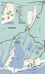
Waquoit Bay National Estuarine Research Preserve...
Trail map of Waquoit Bay National Estuarine Research Preserve in Massachusetts.
464 miles away
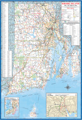
Rhode Island Road Map
Official Rhode Island state highway map. Insets show Newport and Providence.
465 miles away
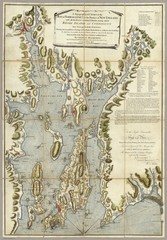
Narrangansett Bay Map 1777
"A Topographical CHART of the BAY of NARRAGANSET in the Province of NEW ENGLAND. with the...
466 miles away
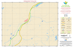
Newfoundland Trailway Park NL-004 Map
467 miles away
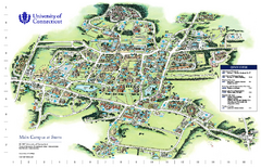
University of Connecticut - Storrs Campus Map
University of Connecticut - Storrs Campus Map. All areas shown.
467 miles away
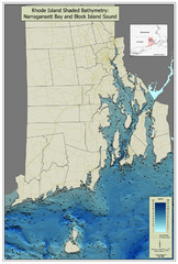
Rhode Island Shaded Bathymetry Map
Bathymetric map of Rhode Island with Narrangansett Bay and Rhode Island Sound. Graduated...
467 miles away

Mansfield Cemetery Map
467 miles away
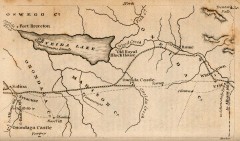
Antique map of Utica, NY from 1830
Map of Utica, NY from The Northern Traveller, and Northern Tour; with the Routes to The Springs...
467 miles away
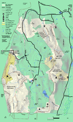
Mt. Washington State Forest trail map
Trail map of Mt. Washington State Forest
467 miles away
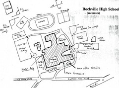
Rockville High School Map
Hand-drawn map of Rockville High School includes all buildings, Parking Lots, and sports fields.
467 miles away
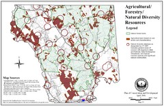
Mansfield Conservation and Development Map
Guide to Agricultural, Forestry and Natural Diversity Resources
467 miles away
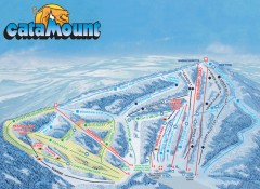
Catamount Ski Trail Map
Official ski trail map of Catamount ski area from the 2006-2007 season.
468 miles away
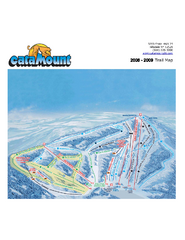
Catamount Ski Area Ski Trail Map
Trail map from Catamount Ski Area.
468 miles away
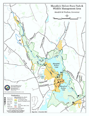
Mansfield Hollow State Park map
Map for Mansfield Hollow State Park and Wildlife Management Area in Connecticut.
468 miles away
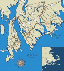
Southeastern New England Wine Trail Map
Map of the Southeastern New England Wine Trail, showing all vineyards and wineries that are members...
469 miles away
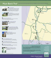
Mum Bett's Trail Map
Historic African American trail guide
470 miles away
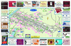
Hudson Tourist Map
Tourist map of Hudson, New York showing all tourist points of interest. Ads around border.
470 miles away
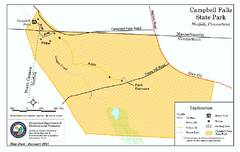
Cambell Falls State Park map
Trail map of Campbell Falls State Park Reserve in Connecticut
470 miles away
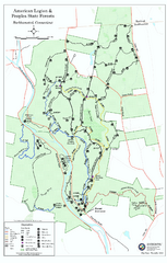
American Legion State Forest trail map
Trail map of American Legion and Peoples State Forests in Connecticut.
470 miles away
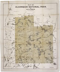
Algonquin National Park Map 1893
Map of Algonquin National Park of Ontario. "Prepared to accompany Report of Park...
470 miles away
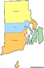
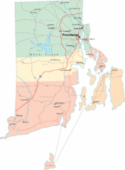
Rhode Island Counties Map
471 miles away
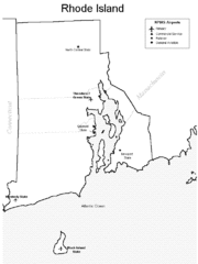
Rhode Island Airports Map
471 miles away
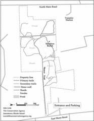
Parker Farm Trail Map
471 miles away

