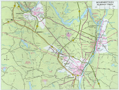
Albany, New York City Map
445 miles away
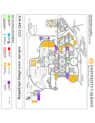
University at Albany Map
Campus Map of the University at Albany. All buildings shown.
445 miles away
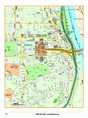
Albany downtown map
Road map of downtown Albany, NY. Shows city parks and New York State government buildings.
445 miles away
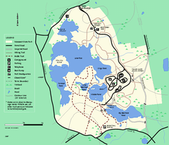
Massasoit State Park trail map
Trail map of Massasoit State Park in Massachusetts
445 miles away
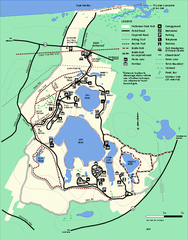
Nickerson State Park trail map
Trail map of Nickerson State Park in Massachusetts.
445 miles away
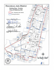
Pittsfield,, Massachusetts City Map
445 miles away
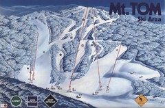
Mount Tom Ski Trail Map
Trail map from Mount Tom, which provides downhill skiing. This ski area opened in 1962.
448 miles away
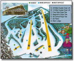
Bousquet Ski Area Ski Trail Map
Trail map from Bousquet Ski Area.
448 miles away
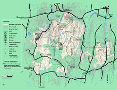
Brimfield State Forest trail map
Trail map of Brimfield State Forest in Massachusetts
448 miles away
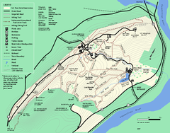
Mt. Tom State Reservation trail map
Trail map of Mt. Tom State Reservation
448 miles away
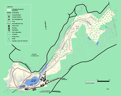
Chicopee State Park trail map
Chicopee State Park trail map
448 miles away
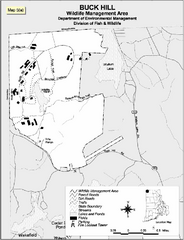
Buck Hill Wildlife Management Area Map
448 miles away
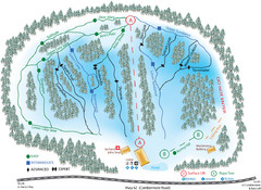
Madawaska Valley (Radcliffe Hills) Ski Trail Map
Trail map from Madawaska Valley (Radcliffe Hills), which provides downhill skiing.
450 miles away
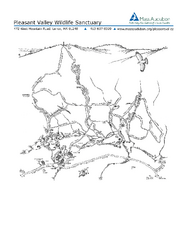
Pleasant Valley Wildlife Sanctuary Trail Map
Trail map of Pleasant Valley Wildlife Sanctuary
450 miles away
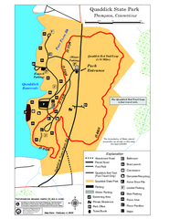
Quaddick State Park Trail Map
450 miles away
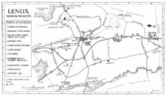
Lenox Town Map
Hand-drawn town map of Lenox, Mass. Bordered by Lenox Mountain and October Mountain. Shows points...
451 miles away
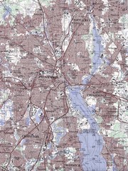
Providence Topo Map
Topo map of Providence, East Providence, Cranston, and Pawtucket, RI. Original scale 1:50,000
451 miles away
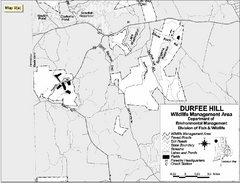
Durfee Hill Wildlife Management Area Map
451 miles away
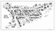
Lenox Village Map
Hand-drawn village map of historic center of Lenox, Massachusetts
452 miles away
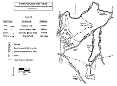
Pulaski State Park Map
452 miles away
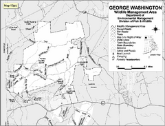
George Washington Wildlife Management Area Map
452 miles away
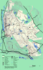
October Mountain State Forest trail map
Trail map of October Mountain State Forest in Massachusetts.
452 miles away
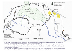
Sprague Farm - Glocester Land Trust Map
452 miles away
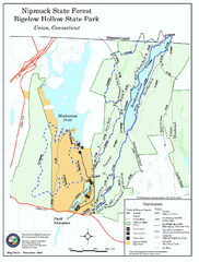
Bigelow Hollow State Park trail map
Trail map of Bigelow Hollow State Park in Connecticut.
452 miles away
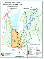
Nipmuck State Forest trail map
Trail map of Nipmuck State Forest and Bigelow Hollow State Park in Connecticut.
452 miles away
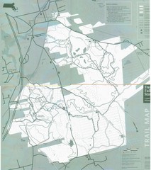
Freetown State Forest Map
Freetown State Forest Map showing mountain biking trails
452 miles away
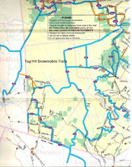
Tug Hill Trail Map
Tug Hill Area Snow Mobile Trail Map
452 miles away
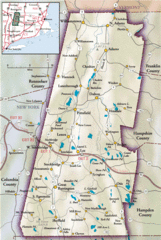
Berkshires Map
Overview map of the Berkshires region of Western Massachusetts
452 miles away
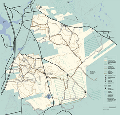
Freetown-Fall River State Forest trail map
Trail map of Freetown-Fall River State Forest in Massachusetts
452 miles away
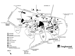
Tanglewood Map
Detailed map of the Tanglewood grounds that includes the location of the Box Office, Friends Office...
453 miles away
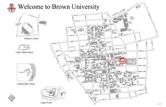
Brown University Map
453 miles away
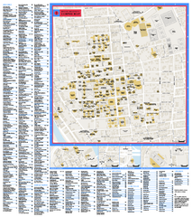
Brown University Campus Map
Official campus map of Brown University.
453 miles away
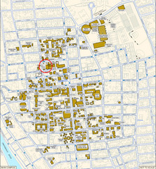
Providence, Rhode Island City Map
453 miles away
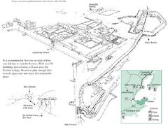
Fortress of Louisbourg Map
Map of the Fortress of Louisbourg National Historic Site, Nova Scotia
453 miles away
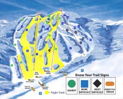
Blandford Ski Trail Map
Official ski trail map of Blandford ski area
454 miles away
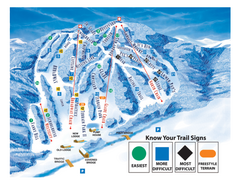
Blandford Ski Area Ski Trail Map
Trail map from Blandford Ski Area.
454 miles away

Cape Cod Hospital Map
Campus map of Cape Cod Hospital
454 miles away

Cape Cod Hospital Map
Map of external vicinity of Cape Cod Hospital
454 miles away
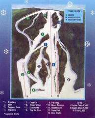
Woods Valley Ski Area Ski Trail Map
Trail map from Woods Valley Ski Area.
455 miles away
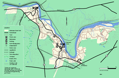
Robinson State Park trail map
Trail map of Robinson State Park in Massachusetts.
456 miles away

