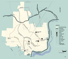
Monroe State Forest trail map
Trail map of Monroe State Forest in Massachusetts.
422 miles away
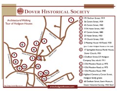
Dover Architectural Walking Map
Architectural walking tour of Hodgson Houses
423 miles away
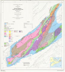
Boisedale Peninsula Map
Geological map of peninsula.
423 miles away
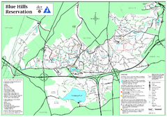
Blue Hills Reservation Trail Map
Trail map of the Blue Hills Reservation in Massachusetts
423 miles away
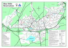
Blue Hills State Park Map
Clearly marked state park map of this beautiful state park.
423 miles away
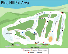
Blue Hills Ski Area Ski Trail Map
Trail map from Blue Hills Ski Area.
423 miles away
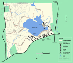
Clarksburg State Park trail map
Trail map of Clarksburg State Park in Massachusetts.
424 miles away
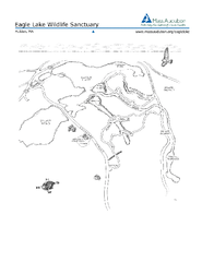
Eagle Lake Conservation Area Map
425 miles away
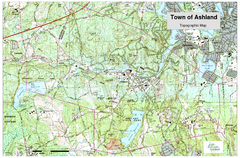
Ashland, MA - Topo Map
Map is provided by the town of Ashland, MA. See town's website for additional maps and...
425 miles away
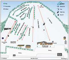
Ski Ward Ski Trail Map
Trail map from Ski Ward.
425 miles away
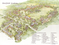
Deerfield Academy Campus Map
Shows buildings and facilities of Deerfield Academy. Scanned.
425 miles away
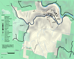
Mohawk Trail State Forest map
Map of the Mohawk Trail State Forest in Charlemont, Massachusetts.
426 miles away
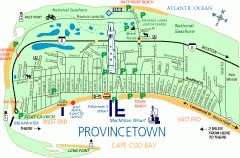
Provincetown, Massachusetts Map
Tourist map of Provincetown, Massachusetts. Shows beaches, visitor's center, bike trails, and...
426 miles away
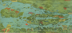
Wellesley Island Illustrated Map
Colorized illustration from "Thousand Islands" viewbook.
426 miles away
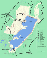
Ashland State Park Map
Clear map and legend marking trails, parking, facilities and more.
426 miles away
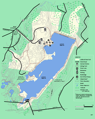
Ashland State Park Map
Map of Ashland State Park in Massachusetts.
426 miles away
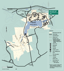
Hopkinton State Park trail map
Trail map of Hopkinton State Park in Massachusetts
426 miles away
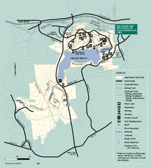
Hopkinton State Park trail map
Trail map of Hopkinton State Park in Massachusetts
426 miles away
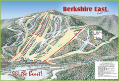
Berkshire East Ski Area Ski Trail Map
Trail map from Berkshire East Ski Area.
426 miles away
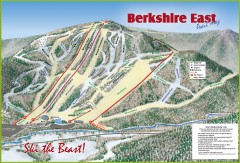
Berkshire East Ski Trail Map
Official ski trail map of Berkshire East ski area from the 2007-2008 season.
427 miles away
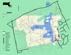
Ames Nowell State Park Map
Trail map of Ames Nowell State Park in Massachusetts
428 miles away
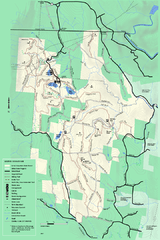
Savoy Mountail trail map
Trail map for Savoy Mountain in Massachusetts.
428 miles away
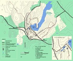
Moore State Park trail map
Trail map of Moore State Park in Massachusetts.
429 miles away
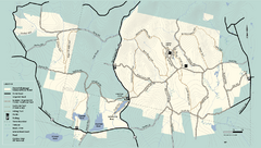
Kenneth Dubuque Memorial State Park trail map
Trail map of the Kenneth Dubuque state park conservation area in Massachusetts.
429 miles away
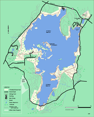
Whitehall State Park trail map
Trail map of Whitehall State Park in Massachusetts.
429 miles away
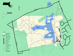
Ames Nowell State Park Map
Simple map of this beautiful state park. Visit and hike, bike, and shop!
429 miles away
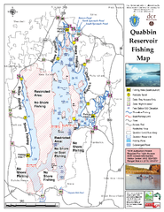
Quabbin Reservoir Fishing Map
Fishing access map of Quabbin Reservoir. Shows all ponds and submerged ponds.
429 miles away
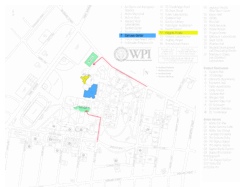
Worcester Polytechnic Institute Campus Map
Map of Worcester Polytechnic Institute. Includes all buildings, parking, streets, and location of...
429 miles away
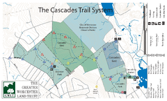
Cascades Park Map
429 miles away
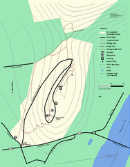
Mt. Sugarloaf State Reservation trail map
Trail map of Mount Sugarloaf State Reservation
429 miles away
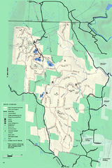
Savoy Mountain winter map
Winter use map of Savoy Mountain in Massachusetts.
429 miles away
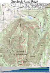
Mt. Greylock Road Race Course Map
Course map of the annual Mount Greylock Road Race. 8 Miles (uphill). Start/Finish: Mt. Williams...
430 miles away
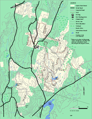
Upton State Forest trail map
Trail map for Upton State Forest in Massachusetts.
431 miles away
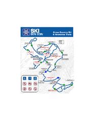
Ski Ben Eoin Nordic Ski Trail Map
Trail map from Ski Ben Eoin, which provides downhill and nordic skiing. This ski area has its own...
431 miles away
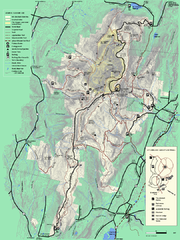
Mt. Greylock State Reservation summer trail map
Summer trail map of the Mt. Greylock State Park area in Massachusetts.
431 miles away
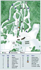
Ben Eoin Ski Trail Map
Official ski trail map of Ben Eoin ski area, Nova Scotia, Canada
431 miles away
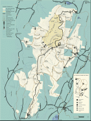
Mt. Greylock State Reservation map
Official summer map of the Mount Greylock State Reservation. At 3,491 feet, Mount Greylock is the...
431 miles away
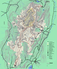
Mt. Greylock State Reservation winter trail map
Winter use trail map of Mt. Greylock State Park in Massachusetts.
431 miles away
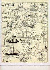
Wellfleet 1930s Tourist Map
A tourist map from the 1930s of Wellfeet, Massachusetts in Cape Cod. Courtesy of Cynthia Blakeley
432 miles away
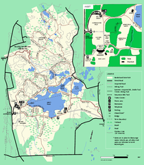
Borderland State Park trail map
Trail map of Borderland State Park in Massachusetts
434 miles away

