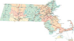
Massachusetts Road Map
414 miles away
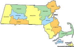
Massachusetts Counties Map
414 miles away
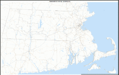
Massachusetts Zip Code Map
Check out this Zip code map and every other state and county zip code map zipcodeguy.com.
414 miles away
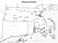
Massachusetts Airports Map
414 miles away
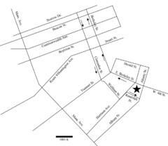
Rotch Field Location Map
Directions to Rotch Playing Field in Boston Common.
414 miles away
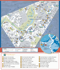
Fenway Cultural District Map
Map of the Fenway Cultural District. Shows schools, museums, libraries, and other cultural points...
414 miles away
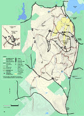
Wachusett Mountain State Reservation trail map
Trail map of Wachusett Mountain State Reservation in Massachusetts.
415 miles away
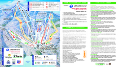
Wachusett Mountain Ski Trail Map
Trail map from Wachusett Mountain.
416 miles away
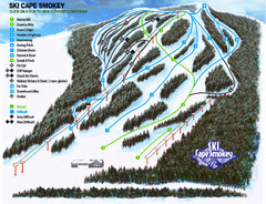
Cape Smokey Ski Lodge Ski Trail Map
Trail map from Cape Smokey Ski Lodge, which provides downhill skiing. This ski area has its own...
416 miles away
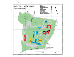
Boston College - Newton Campus Map
Boston College - Newton Campus Map. Shows all buildings.
416 miles away
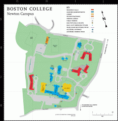
Boston College Newton Campus Map
campus map for Boston College Newton Campus
416 miles away
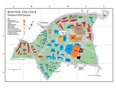
Boston College - Chestnut Hill Campus Map
Boston College - Chestnut Hill Campus Map. Shows all buildings.
416 miles away
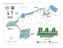
Boston Athletic Association Half Marathon Map
Guide to the Boston Half Marathon, organized by the Boston Athletic Association
416 miles away
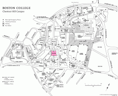
Boston College Chestnut Hill Campus Map
campus map for Boston College's Chestnut Hill Camps
416 miles away
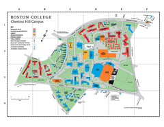
Boston College Main Chestnut Hill Campus Map
The main campus of Boston College, Chestnut Hill. Grid Map with Building Table
416 miles away
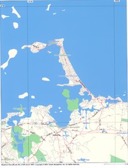
Hull Town Map
416 miles away
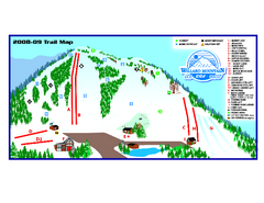
Willard Mountain Ski Area Ski Trail Map
Trail map from Willard Mountain Ski Area.
417 miles away
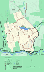
Erving State Park winter use map
Winter use map of the Erving State Park in Massachusetts
417 miles away
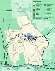
Erving Summer trail map
Summer use map of Erving State Park in Massachusetts.
417 miles away

Jamaica Plain Bus Route Map
417 miles away
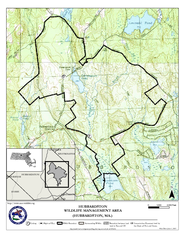
Hubbardston WMA Map
417 miles away
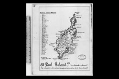
St Paul Island Wreck Map
Shipwreck map of St. Paul Island, Nova Scotia
417 miles away
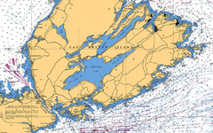
Cape Breton Island Nautical Map
Nautical map showing the Canso Strait, Isle Madame, Chedabucto Bay, and Cape Breton Island
418 miles away
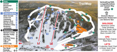
Calabogie Peaks Ski Trail Map
Trail map from Calabogie Peaks, which provides downhill skiing. This ski area has its own website.
419 miles away
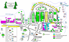
Lower Beverely Park Map
419 miles away
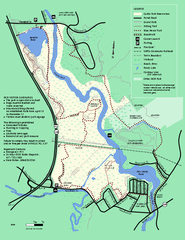
Cutler Park Reservation trail map
Trail map of Cutler Park Reservation in Massachusetts
420 miles away
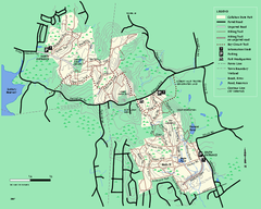
Callahan State Park trail map
Trail map of Callahan State Park in Massachusetts
420 miles away
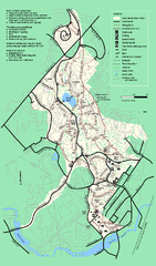
Stony Brook Reservation trail map
Trail map of the Stony Brook Reservation in Massachusetts.
421 miles away
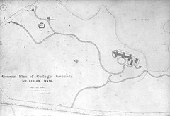
1870s Map of Wellesley College
General plan of college grounds, 1870s.
421 miles away
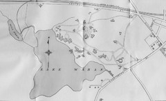
1899 Map of Wellesley College
After College Hall, the original site of Wellesley's faculty, students, classrooms, and...
421 miles away
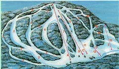
McCauley Mountain Ski Trail Map
Trail map from McCauley Mountain.
421 miles away
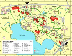
Wellesley College campus map
2008 Wellesley College campus map
421 miles away
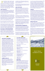
Mt. Pisgah Map - Northboro, Berlin, Boylston Mass
421 miles away
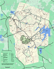
Wompatuck State Park trail map
Trail map of Wompatick State Park in Massachusetts.
421 miles away
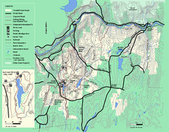
Wendell State Forest trail map
Trail map of Wendell State Forest in Massachusetts.
421 miles away
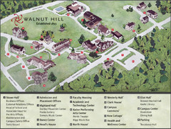
Walnut Hill School Map
Campus Map
421 miles away
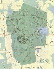
Wompatuck Park Trail Map
Map of Wompatuck Park including trails and roads and park features
421 miles away
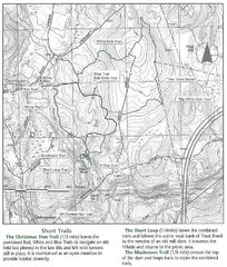
Trout Brook Conservation Area Map
421 miles away
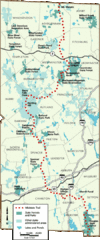
Midstate Trail Map
Map of the Midstate Trail, which runs from Ashburnham to the Rhode Island border. Shows state...
422 miles away
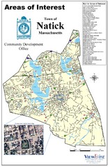
Natick Areas Of Interest Map
Shows points of interest in town of Natick, Massachusetts. Inset of downtown Natick.
422 miles away

