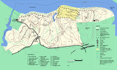
Maudslay State Park trail map
Trail Map of Maudslay State Park in Massachusetts.
380 miles away
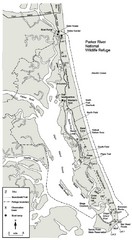
Parker River Map
Map of Parker River National Wildlife Refuge for birdlife
381 miles away
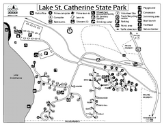
Lake St. Catherine State Park Campground Map
Campground map of St. Catherine State Park in Vermont
381 miles away
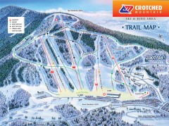
Crotched Mountain Ski Trail Map
Official ski trail map of Crotched Mountain ski area from the 2007-2008 season.
382 miles away
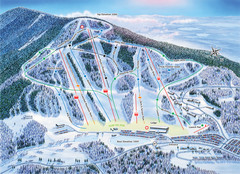
Crotched Mountain Ski Trail Map
Trail map from Crotched Mountain.
382 miles away
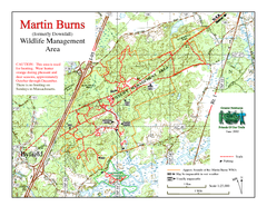
Downfall/Martin Burns WMA Map
383 miles away
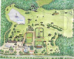
Newbury Perrenial Gardens Guide Map
384 miles away
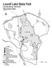
Lowell Lake State Park map
Campground map for Lowell Lake State Park in Vermont
386 miles away
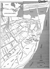
Quebec Tourist Map
386 miles away
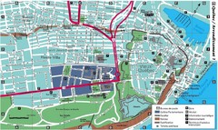
Quebec Tourist Map
386 miles away
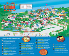
Canobie Lake Park Map
386 miles away
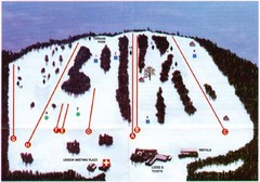
Ski Bradford Ski Trail Map
Trail map from Ski Bradford.
387 miles away
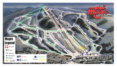
Magic Mountain Ski Trail Map
Trail map from Magic Mountain.
388 miles away
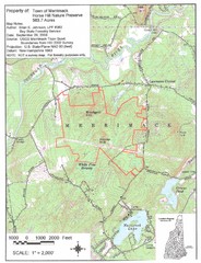
Merrimack Topo Map
A Topographical map Horse Hill Nature Preserve.
388 miles away
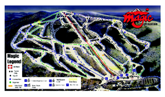
Magic Mountain Ski Trail map
Official ski trail map of Magic Mountain ski area from the 2006-2007 season.
388 miles away
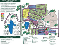
Emerald Lake State Park Map
389 miles away
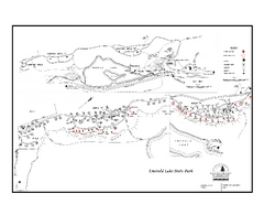
Emerald Lake State Park Campground Map
Campground map of Emerald Lake State Park in Vermont
389 miles away
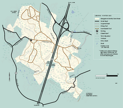
Georgetown-Rowley State Forest winter use map
Winter use map for the Georgetown-Rowley State Forest in Massachusetts.
389 miles away
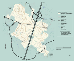
Georgetown-Rowley State Forest summer use map
Summer use map for Georgetown-Rowley State Forest.
389 miles away

Ogdensburg, New York Historical Map
A wonderful highlight are the art reproductions of homes and buildings which surround the map...
390 miles away
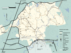
Willowdale State Forest map of Pine Swamp
Trail map of the Pine Swamp area of Willowdale State Park in Massachusetts.
390 miles away
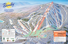
Bromley Mountain Ski Trail Map
Trail map from Bromley Mountain.
390 miles away
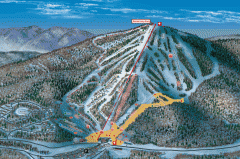
Bromley Mountain Ski Area map 2006-07
Simple ski trail map of Bromley Mountain Ski Area for the 2006-2007 season.
390 miles away
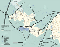
Willowdale State Forest map of Hood Pond
Trail map of the Hood Pond area of the Willowdale State Park in Massachusetts.
391 miles away
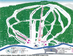
Granite Gorge Ski Trail Map
Trail map from Granite Gorge. This ski area opened in 2005.
392 miles away
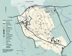
Bradley Palmer State Park summer map
Summer use map of Bradley Palmer State Park in Massachusetts
392 miles away
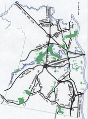
Nashua Parks Map
Map of Nashua, New Hampshire parks
392 miles away
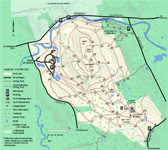
Bradley Palmer State Park winter map
Winter trail map of Bradley Palmer State Park.
392 miles away
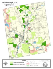
Peterborough Open Space Map
Map of open space lands in Peterborough, New Hampshire
392 miles away
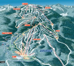
Gore Mountain Ski Trail Map
Official ski trail map of Gore Mountain ski area from the 2007-2008 season.
393 miles away
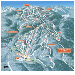
Gore Mountain Ski Trail Map
Trail map from Gore Mountain.
393 miles away
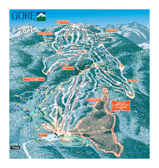
Gore Mountain Ski Trail Map
Trail map from Gore Mountain.
393 miles away
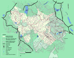
Boxford State Park trail map
Trail map of Boxford State Forest in Massachusetts
393 miles away
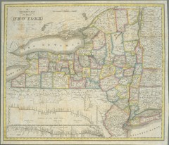
1831 Antique New York State map
The tourist's map of the state of New York : compiled from the latest authorities in the...
394 miles away
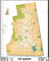
Temple NH Topo Map
Topographical map of Temple, NH area. Shows all roads and points of interest.
394 miles away

Arnprior Downtown Map
Arnprior, Ontario, Canada
395 miles away
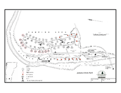
Jamaica State Park Campground Map
Campground map of Jamaica State Park in Vermont
395 miles away
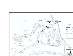
Townshend State Park Campground Map
Campground map of Townshend State Park in Vermont
396 miles away
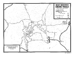
Mount Monadnock State Park Map
Official hiking map of the park. With its thousands of acres of protected highlands, 3,165-ft...
396 miles away
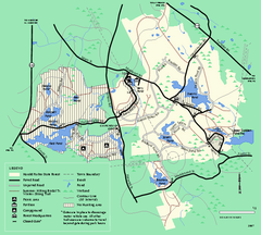
Harold Parker State Forest trail map
Trail map of Harold Parker State Forest in Massachusetts
396 miles away

