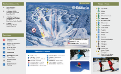
Edelweiss Valley Ski Trail Map
Trail map from Edelweiss Valley, which provides downhill skiing. This ski area has its own website.
205 miles away
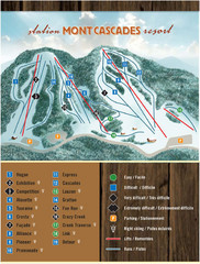
Mont Cascades Ski Trail Map
Trail map from Mont Cascades, which provides downhill skiing. This ski area has its own website.
206 miles away
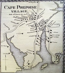
Cape Porpoise Village Map
207 miles away
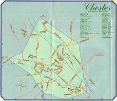
Chester Town Map
207 miles away
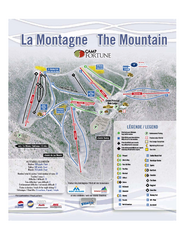
Camp Fortune Ski Trail Map
Trail map from Camp Fortune, which provides downhill skiing. This ski area has its own website.
207 miles away
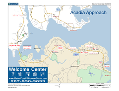
Acadia Approach Map
Maine Coast Welcome Center's local Map of the approach to Acadia, Me with recommended business...
208 miles away
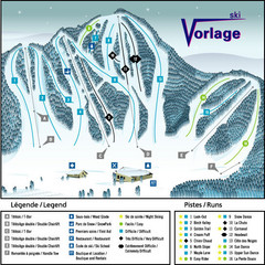
Ski Vorlage Ski Trail Map
Trail map from Ski Vorlage, which provides downhill skiing. This ski area has its own website.
209 miles away
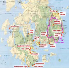
Mount Desert Island Tourist Map
Places of interest.
209 miles away
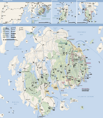
Acadia National Park Map
Official map of Acadia National Park, Maine. "Except for one mainland section, Acadia...
209 miles away
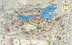
St. Paul's School Campus Map
Campus map of St. Paul's School
210 miles away
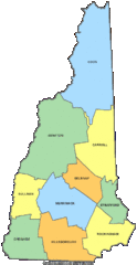
New Hampshire Counties Map
210 miles away
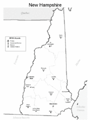
New Hampshire Airports Map
210 miles away
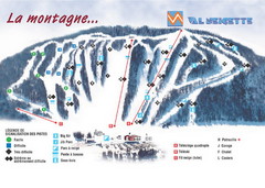
Val Neigette Ski Trail Map
Trail map from Val Neigette, which provides downhill skiing. This ski area has its own website.
210 miles away
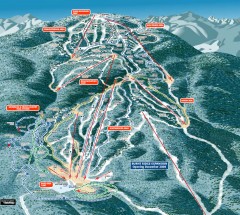
Gore Mountain Ski Trail Map
Official ski trail map of Gore Mountain ski area from the 2007-2008 season.
211 miles away
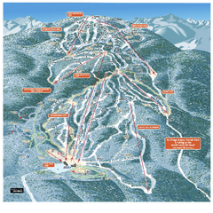
Gore Mountain Ski Trail Map
Trail map from Gore Mountain.
211 miles away
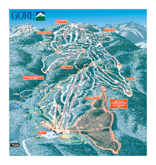
Gore Mountain Ski Trail Map
Trail map from Gore Mountain.
211 miles away
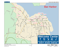
Bar Harbor, Maine, Us Map
Maine Coast Welcome Center's local Map of Bar Harbor, Me with recommended business locations.
211 miles away
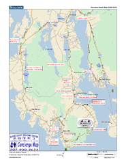
Southwest Harbor, Maine Map
Maine Coast Welcome Center's local Map of Southwest Harbor, Me with recommended business...
211 miles away
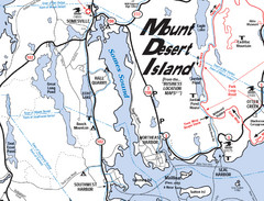
Mt. Desert Island Map
212 miles away
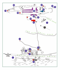
Thuya Garden Map
1. Parking 2. Asticou Terraces Landing 3. Joseph H. Curtis Memorial 4. Stone Lookout 5. Second...
212 miles away
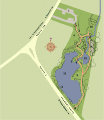
Asticou Azalea Garden Map
1. Parking Area 2. Main Gate 3. Moss Corridor 4. Service Area 5. Heath Garden 6. Sand Garden...
212 miles away
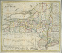
1831 Antique New York State map
The tourist's map of the state of New York : compiled from the latest authorities in the...
212 miles away

Camp Morgan Trail Map
212 miles away
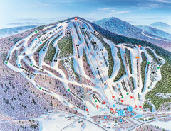
Pats Peak Ski Map
ski trail map of pats peak ski area
212 miles away

Ogdensburg, New York Historical Map
A wonderful highlight are the art reproductions of homes and buildings which surround the map...
213 miles away
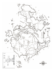
Swan's Island, ME Map
213 miles away
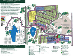
Emerald Lake State Park Map
215 miles away
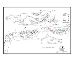
Emerald Lake State Park Campground Map
Campground map of Emerald Lake State Park in Vermont
215 miles away
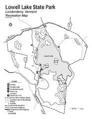
Lowell Lake State Park map
Campground map for Lowell Lake State Park in Vermont
215 miles away
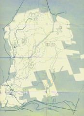
Bear Brook Trails Map
Bear Brook Park Trails and Park map in New Hampshire
215 miles away
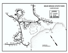
Bear Brook State Park Campground map
Campground map of Bear Brook State Park in New Hampshire
216 miles away
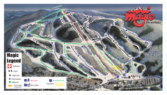
Magic Mountain Ski Trail Map
Trail map from Magic Mountain.
216 miles away
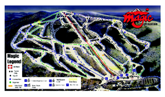
Magic Mountain Ski Trail map
Official ski trail map of Magic Mountain ski area from the 2006-2007 season.
217 miles away
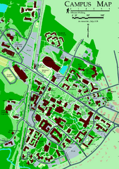
University of New Hampshire Campus Map
University of New Hampshire Campus Map
217 miles away
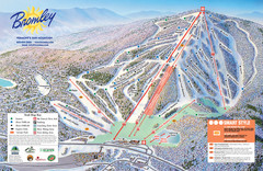
Bromley Mountain Ski Trail Map
Trail map from Bromley Mountain.
217 miles away
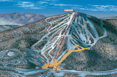
Bromley Mountain Ski Area map 2006-07
Simple ski trail map of Bromley Mountain Ski Area for the 2006-2007 season.
217 miles away
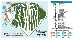
Crabbe Mountain Ski Trail Map
Official ski trail map of Crabbe Mountain ski area. 853 ft vertical, highest in New Brunswick
219 miles away
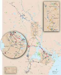
New Hampshire Transit Map
Guide to COAST and Wildcat Transit lines in New Hampshire
219 miles away
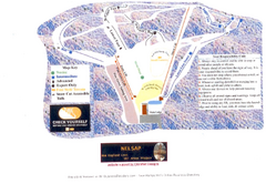
Arrowhead Arrowhead Ski Trail Map
Trail map from Arrowhead.
219 miles away
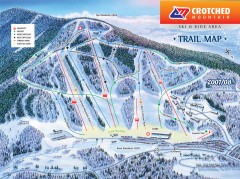
Crotched Mountain Ski Trail Map
Official ski trail map of Crotched Mountain ski area from the 2007-2008 season.
223 miles away

