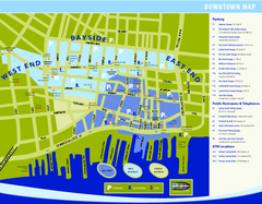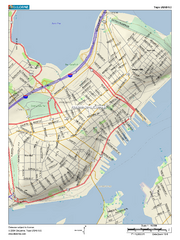
Portland, Maine City Map
191 miles away
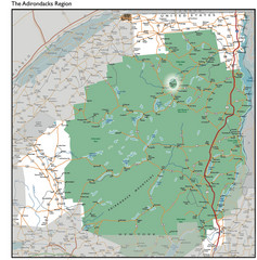
Adirondacks Lakes Map
Guide to lakes and waterways in the Adirondacks Park Preserve
191 miles away

Olympic Scenic Byway Map
Overview map showing the length of the Olympic Scenic Byway, which runs from Lake Ontario (Sackett...
191 miles away
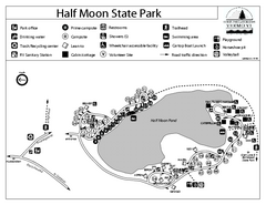
Half Moon State Park Campground Map
Campground map of Half Moon State Park in Vermont
191 miles away
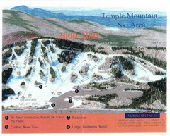
Temple Mountain Last year open—Credited to...
Trail map from Temple Mountain. This ski area opened in 1937.
192 miles away
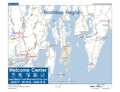
Boothbay Area, Maine, USA Map
Maine Coast Welcome Center's local Map of the Boothbay, Maine area with recommended business...
193 miles away
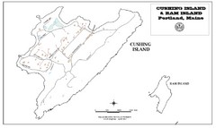
Cushing Island Map
Also shows Ram Island
193 miles away
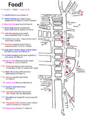
Rockland, Maine Restaurant Map
193 miles away
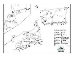
Coolidge State Park Campground Map
Campground map of Coolidge State Park in Vermont
193 miles away
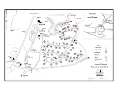
Bomoseen State Park map
Campground map of Bomoseen State Park in Vermont
193 miles away
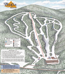
Bear Creek Mountain Club Ski Trail map
Official ski trail map of Bear Creek Mountain ski area.
194 miles away
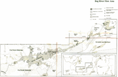
Bog River Map
195 miles away
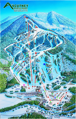
Ascutney Mountain Ski Trail Map 2006-07
Official ski trail map of Ascutney ski area from the 2006-2007 season.
195 miles away
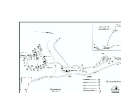
Ascutney State Park map
Campground map of Ascutney State Park in Vermont
196 miles away
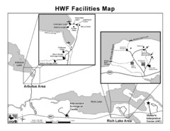
Adirondack Map
Map of Adirondack Park Reserve. Shows Rich Lake Area, Arbutus Area, and the location of the...
197 miles away
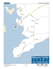
Port Clyde, Maine, USA Map
Maine Coast Welcome Center's local Map of Port Clyde, Me with recommended business locations.
198 miles away
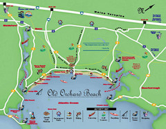
Old Orchard Beach Tourist Map
198 miles away
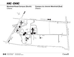
National Research Council Map
Montreal Road Campus visitor map, also in French. Provides location of campus buildings and roads.
198 miles away
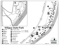
Wilgus State Park Campground Map
Campground map for Wilgus State Park in Vermont
200 miles away

Rideau Hall Tour Bus Lay-By Map
201 miles away

Rideau Hall Tour Bus Parking Map
201 miles away
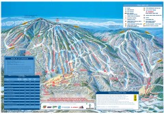
Okemo Mountain Resort ski trail map 2006-07
Official ski trail map of Okemo ski area for the 2006-2007 season. Slopes & Trails 624 acres...
202 miles away
Okemo Mountain Resort Ski Trail Map
Trail map from Okemo Mountain Resort.
202 miles away
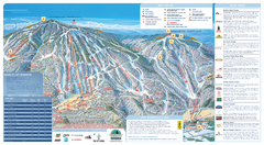
Okemo Ski Trail Map
Ski trail map of Okemo ski area. A James Niehues creation.
202 miles away
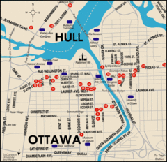
Ottawa Tourist Map
202 miles away
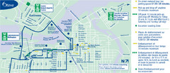
Ottawa Bus Tour Map
202 miles away
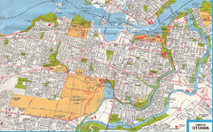
Ottawa, Ontario Tourist Map
202 miles away
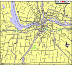
Ottawa, Ontario Tourist Map
202 miles away

Ottawa, Ontario Tourist Map
202 miles away
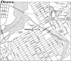
Ottawa, Ontario Tourist Map
202 miles away
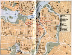
Ottawa Tourist Map
Tourist map of capital city of Ottawa, Canada. Shows tourist points of interest.
202 miles away
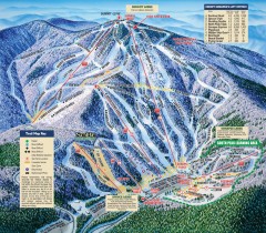
Mt. Sunapee Ski Trail Map
Official ski trail map of Mt. Sunapee ski area from the 2007-2008 season.
202 miles away
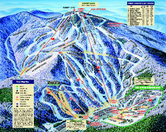
Mount Sunapee Ski Area Ski Trail Map
Trail map from Mount Sunapee Ski Area.
202 miles away
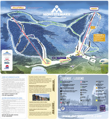
Mont Ste-Marie Ski Trail Map
Trail map from Mont Ste-Marie, which provides downhill skiing. This ski area has its own website.
203 miles away
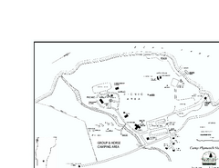
Camp Plymouth State Park map
Map of Camp Plymouth Park in Vermont.
203 miles away
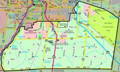
Gloucester Map
Street-map of Gloucester district
203 miles away
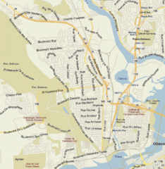
Hull, Quebec Tourist Map
203 miles away
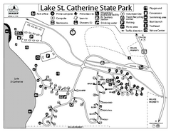
Lake St. Catherine State Park Campground Map
Campground map of St. Catherine State Park in Vermont
205 miles away
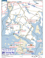
Blue Hill Peninsula, Maine, US Map
Maine Coast Welcome Center's local Map of the Blue Hill Peninsula, Me with recommended...
205 miles away

