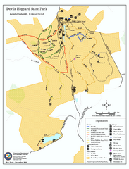
Devils Hophard State Park map
Trail and camprground map for Devils Hopyard State Park in Connecticut.
331 miles away
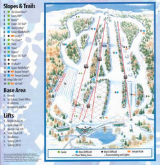
Powder Ridge Ski Area Ski Trail Map
Trail map from Powder Ridge Ski Area.
331 miles away
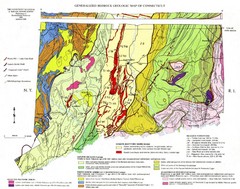
Connecticut Geologic Map
Geologic map of Connecticut bedrock. Shows shaded terranes, fault lines, and Mesozoic formations.
332 miles away
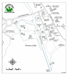
Emerson Park Map
332 miles away
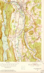
New Milford, Connecticut Map
New Milford, Connecticut topo map with roads, streets and buildings identified
332 miles away
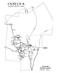
Onteora District Map
Boy Scouts Map of Onteora
332 miles away

Cockaponset State Forest North Section trail map
Trail map for the north section of Cockaponset State Forest in Connecticut
333 miles away
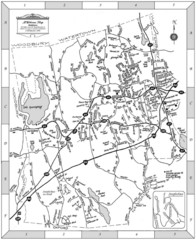
Middlebury, Connecticut Map
333 miles away
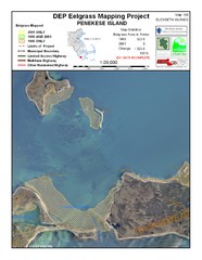
Penekese Island Eelgrass Map
333 miles away
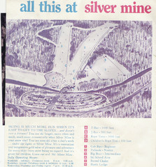
Silver Mine Credit to chris lundquist Ski Trail...
Trail map from Silver Mine, which provides downhill skiing.
333 miles away
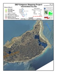
Nashawena Island Eelgrass Map
334 miles away
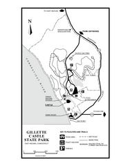
Gillette State Park trail map
Trail map of Gillette Castle State Park in Connecticut.
334 miles away

Cockaponset State Forest South Section trail map
Trail map for the South Section of Cockaponset State Forest in Connecticut.
335 miles away
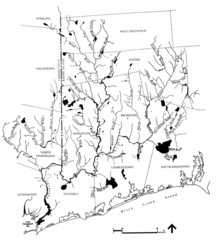
Rhode Island Coastal Watershed Map
Paddling Guide of Pawcatuck River Watershed
335 miles away
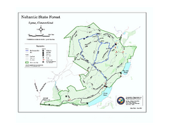
Nehantic State Forest map
Trail map of Nehantic State Forest in Connecticut.
336 miles away
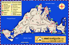
Martha's Vineyard Island Map
Tourist map of island of Martha's Vineyard, Massachusetts.
337 miles away
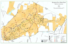
Sleeping Giant State Park map
Trail map for Sleeping Giant State Park in Connecticut.
338 miles away
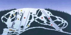
Sir Sam’s Ski Area Ski Trail Map
Trail map from Sir Sam’s Ski Area, which provides downhill skiing. This ski area has its own...
338 miles away
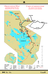
Kejimkujik National Park Map
Official Parks Canada map of Kejimkujik National Park, Nova Scotia. Shows lakes, trails, campsites...
338 miles away
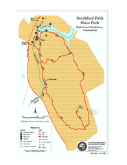
Southford Falls State Park map
Trail map for Southford Falls State Park in Connecticut.
338 miles away
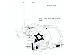
Fort Trumbull State Park map
Map of Fort Trumbull State Park in Connecticut.
339 miles away
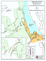
Squantz Pond State Park map
Trail and campground map for Squantz Pond State Park in Connecticut.
339 miles away
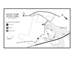
Haley Farm State Park map
Trail map of Haley Farm State Park in Connecticut.
339 miles away
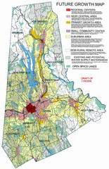
Danbury Regional Growth Map
Guide to future growth of Danbury, CT and surrounds
339 miles away
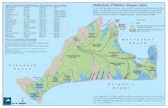
Martha's Vineyard Watershed Map
339 miles away
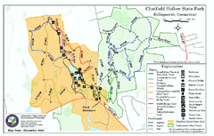
Chatfield Hollow State Park map
Trail map of Chatfield Hollow State Park
339 miles away
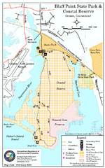
Bluff Point State Park map
Trail map for Bluff Point State Park and Coastal Reserve.
339 miles away
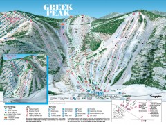
Greek Peak Ski Trail Map
Official ski trail map of Greek Peak ski area from the 2006-2007 season.
340 miles away

Greek Peak Ski Resort Ski Trail Map
Trail map from Greek Peak Ski Resort.
340 miles away
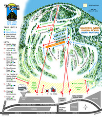
Thunder Ridge Ski Trail Map
Trail map from Thunder Ridge.
340 miles away

Brantling Ski Slopes Ski Trail Map
Trail map from Brantling Ski Slopes.
340 miles away
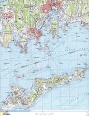
Fishers Island Map
In Long Island Sound
341 miles away
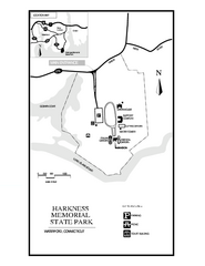
Harkness Memorial State Park map
Trail map of Harkness Memorial State Park in Connecticut.
341 miles away
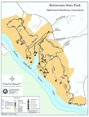
Kettletown State Park trail map
Trail map for Kettletown State Park in Connecticut.
341 miles away
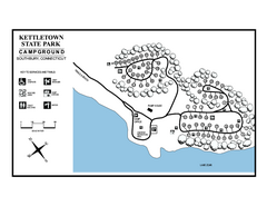
Kettletown State Park campground map
Campground map for Kettletown State Park in Connecticut.
341 miles away
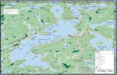
Kennisis Lakes Map
Panoramic topo map of Kennisis Lakes region
341 miles away
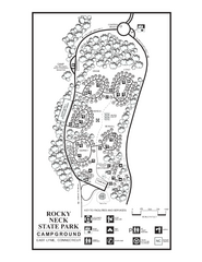
Rocky Neck State Park campground map
Campground map of Rocky Neck State Park in Connecticut.
341 miles away
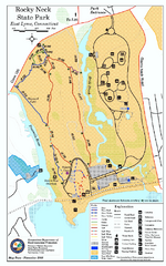
Rocky Neck State Park trail map
Trail map of Rocky Neck State Park in Connecticut.
342 miles away
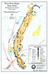
West Rock Ridge State Park map
Trail map of West Rock Ridge State Park in Connecticut.
343 miles away
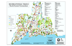
South Central Connecticut Recreational Trail Map
Map of South Central Connecticut showing all recreational trails and open spaces.
343 miles away

