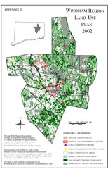
2002 Windham Region Land Use Map
Regional Land Use Guide Map for Planning Purposes
313 miles away
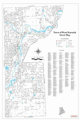
West Warwick Town Map
Street map of W. Warwick
314 miles away
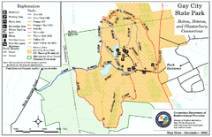
Gay City State Park trail map
Trail map of Gay City State Park in Connecticut.
314 miles away
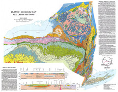
New York State Geologic Map
1:1,000,000 scale geological map of New York State
314 miles away
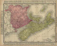
Nova Scotia Map 1896
Nova Scotia and New Brunswick map, 1896
314 miles away

Poets Walk Trail Map
Guide to Poet's Walk and Hudson River Overlook
315 miles away
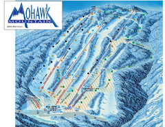
Mohawk Mountain Ski Trail Map
Ski trail map of Mohawk Mountain ski area
315 miles away

North Mohawk Mountain State Forest (Winter Trails...
Winter trail map for North Mohawk Mountain State Forest in Connecticut.
315 miles away

North Mohawk Mountain State Forest (Summer Trails...
Summer trail map of the North section of Mohawk Mountain State Forest in Connecticut.
315 miles away
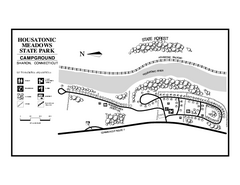
Housatonic State Forest campground map
Campground map of Housatonic State Forest in Connecticut.
315 miles away
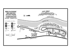
Housatonic Meadows State Park campground map
Campground map for Housatonic Meadows State Park in Connecticut.
315 miles away
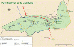
Gaspesie National Park Map - Summer
Official SEPAQ map of Gaspesie National Park in the Gaspe Peninsula, Quebec. Show trails, huts...
315 miles away
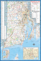
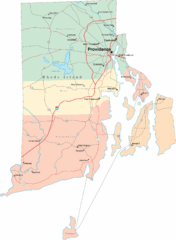
Rhode Island Road Map
Official Rhode Island state highway map. Insets show Newport and Providence.
316 miles away
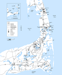
Cape Cod Rail Trail, Cape Cod, Massachusetts Map
Map of the Cape Cod Rail Trail bike path. Shows trails, restrooms, other roads and parking.
316 miles away
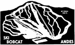
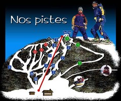
Bobcat Ski Center Ski Trail Map
Trail map from Bobcat Ski Center.
316 miles away

South Mohawk Mountain State Forest (Winter Trails...
Winter trial map for the Southern Section of Mohawk Mountain State Forest in Connecticut.
316 miles away
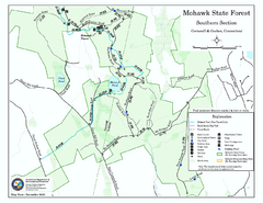
South Mohawk Mountain State Forest (Summer Trails...
Summer trails for South Mohawk State Forest in Connecticut.
316 miles away
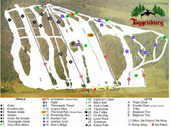
Toggenburg Ski Center Ski Trail Map
Trail map from Toggenburg Ski Center.
317 miles away
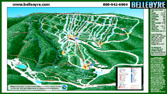
Belleayre Mountain Ski Trail Map
Trail map from Belleayre Mountain.
317 miles away
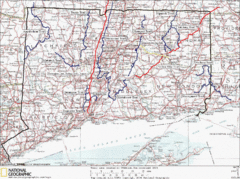
Connecticut Long Distance Trails Map
A map of long distance trails throughout Connecticut. Go to the website below for detailed trail...
317 miles away
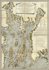
Narrangansett Bay Map 1777
"A Topographical CHART of the BAY of NARRAGANSET in the Province of NEW ENGLAND. with the...
318 miles away

Topsmead State Forest map
Trail map for Topsmead State Forest in Connecticut.
319 miles away
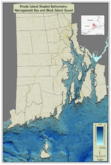
Rhode Island Shaded Bathymetry Map
Bathymetric map of Rhode Island with Narrangansett Bay and Rhode Island Sound. Graduated...
320 miles away
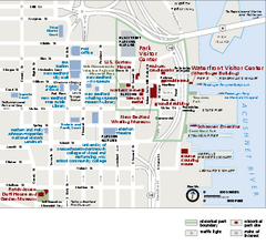
New Bedford Whaling National Historical Park...
Official NPS map of New Bedford Whaling National Historical Park in Massachusetts. Map shows all...
320 miles away
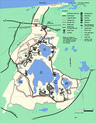
Nickerson State Park trail map
Trail map of Nickerson State Park in Massachusetts.
320 miles away
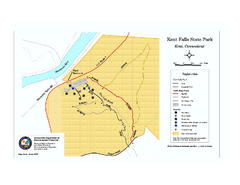
Kent Falls State Park trail map
Trail map of Kent Falls State Park in Connecticut.
320 miles away
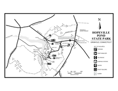
Hopeville Pond State Park trail map
Trail map for Hopevill Pond State Park in Connecticut
320 miles away
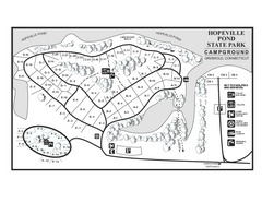
Hopeville Pond campground map
Campground map of Hopeville Pond State Park in Connecticut.
320 miles away
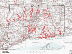
Connecticut Road Cycling Routes Map
A map of road cycling routes throughout Connecticut. Follow the link below for detailed route maps...
320 miles away
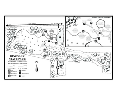
Dinosaur State Park map
Trail map of Dinosaur State Park in Connecticut.
320 miles away
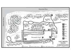
Salt Rock State Park campground map
Campground Map of Salt Rock State Campground in Connecticut.
320 miles away
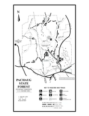
Pachaug State Forest map
Trail map of Pachaug State Forest in Connecticut.
321 miles away
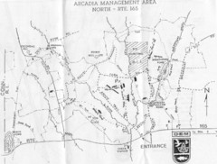
Arcadia Management Area State Map
Trail map for Arcadia Management Area in Rhode Island
321 miles away
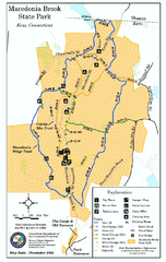
Macedonia Brook State Park trail map
Trail map of Macedonia Brook State Park in Connecticut.
321 miles away
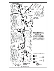
Macedonia Brook State Park campground map
Campground map for Macedonia Brook State Park in Connecticut.
321 miles away
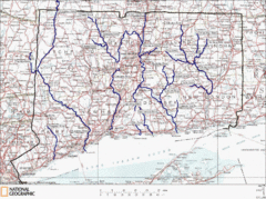
Connecticut Rivers and Coastal Paddling Map
This is a map of paddling areas for rivers and coastal kayaking. Follow the link below for...
321 miles away
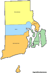
Rhode Island Counties Map
322 miles away
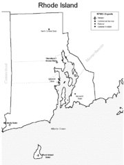
Rhode Island Airports Map
322 miles away

