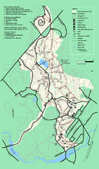
Stony Brook Reservation trail map
Trail map of the Stony Brook Reservation in Massachusetts.
276 miles away
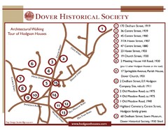
Dover Architectural Walking Map
Architectural walking tour of Hodgson Houses
276 miles away
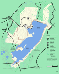
Ashland State Park Map
Clear map and legend marking trails, parking, facilities and more.
276 miles away
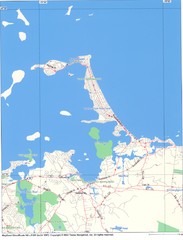
Hull Town Map
276 miles away
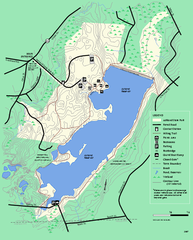
Ashland State Park Map
Map of Ashland State Park in Massachusetts.
276 miles away
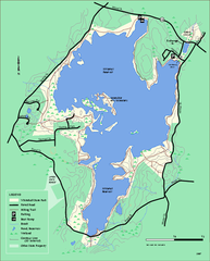
Whitehall State Park trail map
Trail map of Whitehall State Park in Massachusetts.
277 miles away
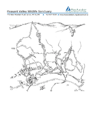
Pleasant Valley Wildlife Sanctuary Trail Map
Trail map of Pleasant Valley Wildlife Sanctuary
277 miles away
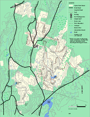
Upton State Forest trail map
Trail map for Upton State Forest in Massachusetts.
279 miles away
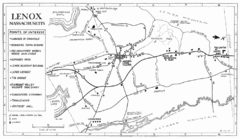
Lenox Town Map
Hand-drawn town map of Lenox, Mass. Bordered by Lenox Mountain and October Mountain. Shows points...
279 miles away
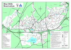
Blue Hills State Park Map
Clearly marked state park map of this beautiful state park.
279 miles away
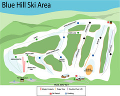
Blue Hills Ski Area Ski Trail Map
Trail map from Blue Hills Ski Area.
279 miles away
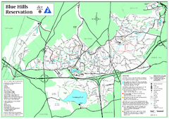
Blue Hills Reservation Trail Map
Trail map of the Blue Hills Reservation in Massachusetts
279 miles away
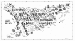
Lenox Village Map
Hand-drawn village map of historic center of Lenox, Massachusetts
279 miles away
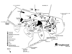
Tanglewood Map
Detailed map of the Tanglewood grounds that includes the location of the Box Office, Friends Office...
280 miles away
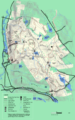
October Mountain State Forest trail map
Trail map of October Mountain State Forest in Massachusetts.
280 miles away
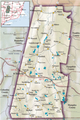
Berkshires Map
Overview map of the Berkshires region of Western Massachusetts
281 miles away
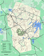
Wompatuck State Park trail map
Trail map of Wompatick State Park in Massachusetts.
281 miles away
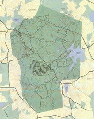
Wompatuck Park Trail Map
Map of Wompatuck Park including trails and roads and park features
282 miles away
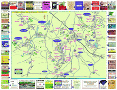
Columbia County - Austerlitz, Canaan, Chatham...
Tourist map of Columbia County including towns of Austerlitz, Canaan, Chatham, East Chatham Ghent...
282 miles away
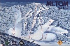
Mount Tom Ski Trail Map
Trail map from Mount Tom, which provides downhill skiing. This ski area opened in 1962.
282 miles away
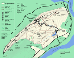
Mt. Tom State Reservation trail map
Trail map of Mt. Tom State Reservation
283 miles away

Palmer Motorsports Park Map
Track Map for Proposed Palmer Motorsports Park
283 miles away
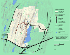
Wells State Park winter trail map
Winter use trail map of Wells State Park in Massachusetts.
283 miles away
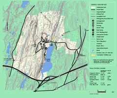
Wells State Park trail map
Trail map of Wells State Park in Massachusetts.
283 miles away
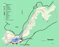
Chicopee State Park trail map
Chicopee State Park trail map
284 miles away
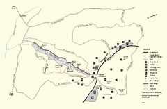
Purgatory Chasm State Reservation trail map
Trail map of Purgatory Chasm State Reservation in Massachusetts.
284 miles away
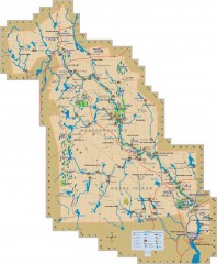
Blackstone Valley tourist map
Tourist map of the Blackston Valley in Rhode Island and Massachusetts. Shows hiking, biking, and...
284 miles away
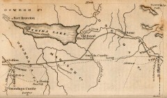
Antique map of Utica, NY from 1830
Map of Utica, NY from The Northern Traveller, and Northern Tour; with the Routes to The Springs...
284 miles away
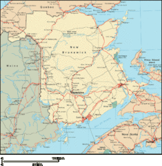
New Brunswick Map
Detailed New Brunswick Map
285 miles away
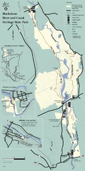
Heritage State Park Map
Clear state park map marking trails and facilities.
285 miles away
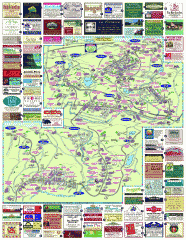
South County Berkshires map
Tourist map of Great Barrington, Housatonic, Sheffield, S. Egremont, N. Egremont Lenox, Stockbridge...
285 miles away
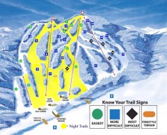
Blandford Ski Trail Map
Official ski trail map of Blandford ski area
286 miles away
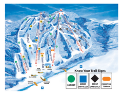
Blandford Ski Area Ski Trail Map
Trail map from Blandford Ski Area.
286 miles away
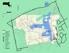
Ames Nowell State Park Map
Trail map of Ames Nowell State Park in Massachusetts
286 miles away
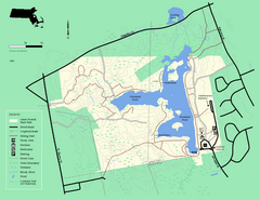
Ames Nowell State Park Map
Simple map of this beautiful state park. Visit and hike, bike, and shop!
287 miles away
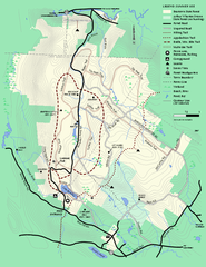
Beartown State Park Summer Map
Summer Map of Beartown State Park in Massachusetts.
288 miles away
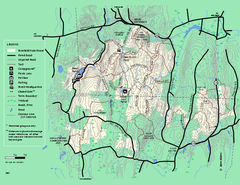
Brimfield State Forest trail map
Trail map of Brimfield State Forest in Massachusetts
288 miles away

Mine Brook Wildlife Management Area Map
288 miles away
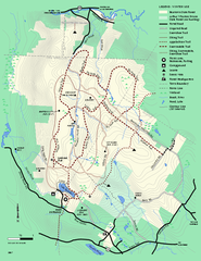
Beartown State Park Winter Map
Winter use map of Beartown State Park in Massachusetts
289 miles away
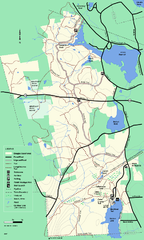
Douglas State Forest trail map
Trail map of the Douglas State Forest in Massachusetts
289 miles away

