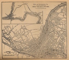
Antique map of Pittsburgh from 1879
"Map of Pittsburgh, Pa. Showing the Location of its Furnaces, Rolling Mills and Steel Works...
367 miles away
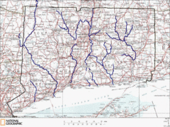
Connecticut Rivers and Coastal Paddling Map
This is a map of paddling areas for rivers and coastal kayaking. Follow the link below for...
367 miles away
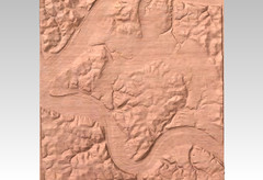
Pittsburgh map carved by CarvedMaps.com
Wood Map of the three rivers area of Pittsburgh, PA. CarvedMaps.com can carve any area within...
367 miles away
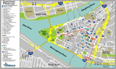
Pittsburgh Tourist Map
367 miles away
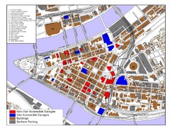
Pittsburgh Tourist Map
367 miles away
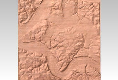
Pittsburgh, PA carved by carvedmaps.com Map
We can carve any location within the United States. Do you have a mountain cabin? We can carve...
367 miles away
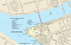
Point State Park Map
Recreation map for Point State Park in Pennsylvania
367 miles away
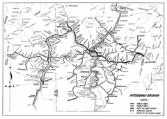
Pittsburgh, Pennsylvania City Map
368 miles away

Shanty Creek Ski Trail Map
Trail map from Shanty Creek.
368 miles away

Nockamixon State Park Map
Detailed recreation map for Nockamixon State Park in Pennsylvania.
368 miles away
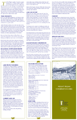
Mt. Pisgah Map - Northboro, Berlin, Boylston Mass
368 miles away
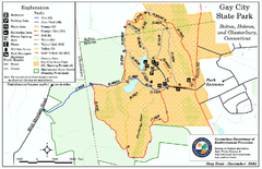
Gay City State Park trail map
Trail map of Gay City State Park in Connecticut.
368 miles away
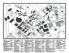
University of Pittsburgh - Main Campus Map
University of Pittsburgh - Main Campus Map. All buildings shown.
368 miles away
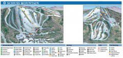
Shanty Creek Ski Trail Map
Official ski trail map of Shanty Creek ski area from the 2007-2008 season. Shows Schuss Mountain.
368 miles away
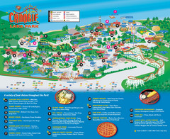
Canobie Lake Park Map
368 miles away
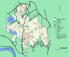
Lowell-Dracut-Tyngsboro State Forest trail map
Trail map for the Lowell-Dracut-Tyngsboro State Forest in Massachusetts
368 miles away
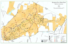
Sleeping Giant State Park map
Trail map for Sleeping Giant State Park in Connecticut.
369 miles away
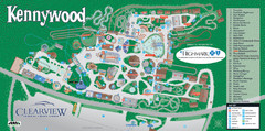
Kennywood Theme Park Map
"America's Finest Traditional Amusement Park" is the slogan for this fun, high rated...
369 miles away
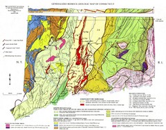
Connecticut Geologic Map
Geologic map of Connecticut bedrock. Shows shaded terranes, fault lines, and Mesozoic formations.
369 miles away
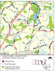
Delaney Conservation Land Map
369 miles away
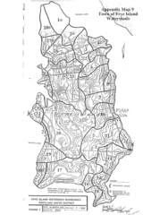
Frye Island Watershed Boundary Map
369 miles away
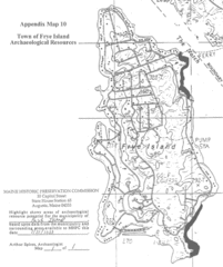
Frye Island Archaeological Map
369 miles away
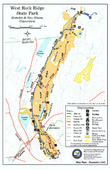
West Rock Ridge State Park map
Trail map of West Rock Ridge State Park in Connecticut.
369 miles away
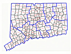
Connecticut Town Map
369 miles away
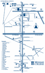
South Pennsylvania Restaurant Map
369 miles away
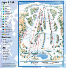
Powder Ridge Ski Area Ski Trail Map
Trail map from Powder Ridge Ski Area.
369 miles away
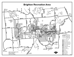
Brighton Recreation Area, Michigan Site Map
369 miles away
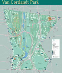
Van Cortlandt Park Trail Map
Trail map of Van Cortlandt Park in the Bronx. Covers 573 acres.
369 miles away
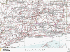
Connecticut Canoeing and Kayaking Lakes Map
A map of the lakes and ponds that are open for canoeing and kayaking in Connecticut. For detailed...
370 miles away
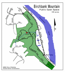
Birchbank Park Map
Several miles of moderately difficult trails along the Housatonic River bluff, including the...
370 miles away
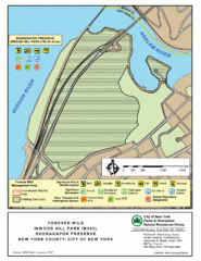
Inwood Hill Park Map
Park map of Inwood Hill Park in the Shorakapok Preserve, New York. 136 acres.
370 miles away
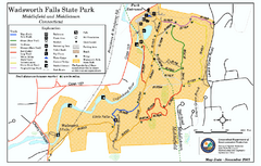
Wadsworth Falls State Park map
Trail map of Wadsworth Falls State Park in Connecticut.
370 miles away
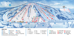
Nashoba Valley Ski Area Ski Trail Map
Trail map from Nashoba Valley Ski Area.
370 miles away
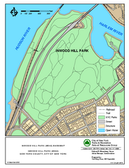
Inwood Hill Park Trail Map
Trail map of Inwood Hill Park located at the extreme northern tip of Manhattan. 136 acres.
370 miles away
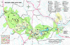
Raccoon Creek State Park Map
Detailed recreation map for Raccoon Creek State Park in Pennsylvania
370 miles away
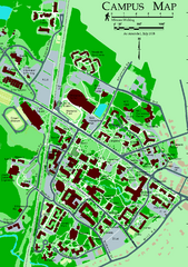
University of New Hampshire Campus Map
University of New Hampshire Campus Map
370 miles away
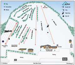
Ski Ward Ski Trail Map
Trail map from Ski Ward.
370 miles away
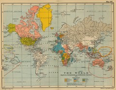
Colonial Posessions and Commercial Highways 1910...
Historical world map (1910) of various colonization and highway expansion
370 miles away
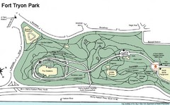
Fort Tyron Park Map
370 miles away
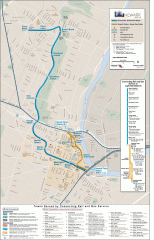
Newark Light Rail system Map
Newark Light rail system
370 miles away

