
Downtown Morriston Map
361 miles away
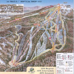
Blue Knob Four Seasons Ski Trail Map
Trail map from Blue Knob Four Seasons.
361 miles away

Lewis Morris Park Trail Map
361 miles away
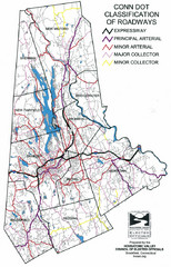
Connecticut Roadway Classification Map
361 miles away
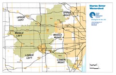
Huron River Watershed Map
Creek and watershed map of Huron River
361 miles away

Downtown Johnstown Map
Downtown Johnstown road and bus route map.
361 miles away
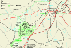
Morristown National Historical Park Official Map
Official NPS map of Morristown National Historical Park in New Jersey. Shows all areas. Tours...
361 miles away
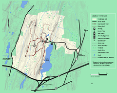
Wells State Park winter trail map
Winter use trail map of Wells State Park in Massachusetts.
362 miles away
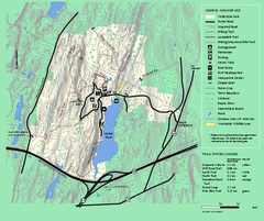
Wells State Park trail map
Trail map of Wells State Park in Massachusetts.
362 miles away
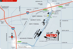
Detroit Metro Airport Area Map
362 miles away

Hershey Park Official Map
Official 2007 map of the Hershey Theme Park in Hershey, PA
362 miles away
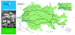
Devil's Den Preserve Map
362 miles away
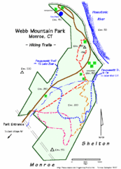
Webb Moutain Park Map
362 miles away

Blue Knob State Park Map
Detailed recreation map for Blue Knob State Park in Pennsylvania
362 miles away
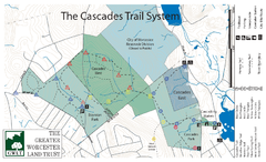
Cascades Park Map
363 miles away
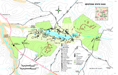
Keystone State Park Map
Detailed recreation map for Keystone State Park in Pennsylvania
363 miles away
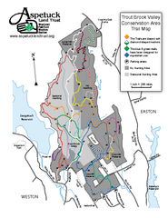
Trout Brook Valley Map
364 miles away
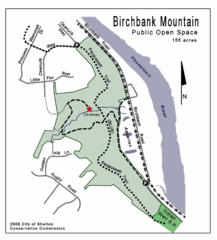
Birchbank Park Map
364 miles away
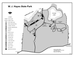
Hayes State Park, Michigan Unit Map
364 miles away
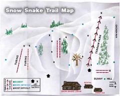
Snow Snake Mountain Ski Trail Map
Trail map from Snow Snake Mountain.
364 miles away
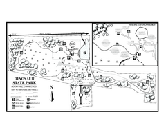
Dinosaur State Park map
Trail map of Dinosaur State Park in Connecticut.
364 miles away
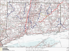
Connecticut Long Distance Trails Map
A map of long distance trails throughout Connecticut. Go to the website below for detailed trail...
364 miles away
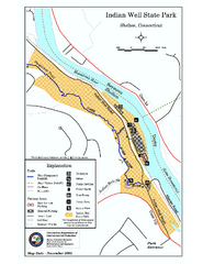
Indian Well State Park map
Trail map for Indian Well State Park in Connecticut.
365 miles away
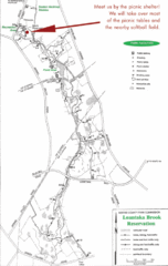
Loantaka Park Map
365 miles away

Delaware Canal State Park map
Detailed map of Delaware Canal State Park in Pennsylvania. Long dimension.
365 miles away
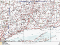
Connecticut Rock Climbing Locations Map
A map of most of the important rock climbing and bouldering areas in Connecticut. Click the link...
366 miles away
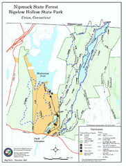
Bigelow Hollow State Park trail map
Trail map of Bigelow Hollow State Park in Connecticut.
366 miles away
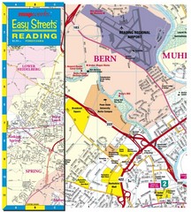
Reading, Pennsylvania City Map
366 miles away

Warriors Path State Park Map
Detailed recreation map for Warriors Path State Park in Pennsylvania.
366 miles away
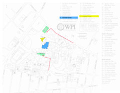
Worcester Polytechnic Institute Campus Map
Map of Worcester Polytechnic Institute. Includes all buildings, parking, streets, and location of...
366 miles away
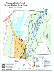
Nipmuck State Forest trail map
Trail map of Nipmuck State Forest and Bigelow Hollow State Park in Connecticut.
366 miles away
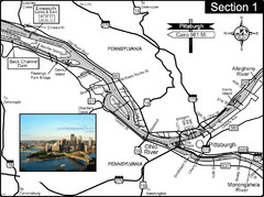
Ohio River at Pittsburgh, PA at the confluence of...
This is a page from the Ohio River Guidebook. The Ohio River begins at this confluence. This map...
366 miles away
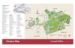
Carnegie Mellon Campus Map
Campus map of Carnegie Mellon University (CMU) in Pittsburgh, PA.
366 miles away
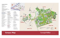
Carnegie Mellon Campus Map
Map of the Carnegie Mellon Campus. Includes all buildings, streets and the location of the campus...
366 miles away
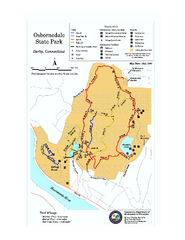
Osbornedale State Park map
Trail map of Osborndale State Park in Connecticut.
366 miles away
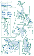
Portage Lakes State Park map
Detailed recreation map for Portage Lakes area in Ohio
366 miles away
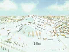
Mt. Brighton Ski Trail Map
Trail map from Mt. Brighton.
367 miles away
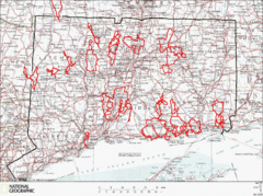
Connecticut Road Cycling Routes Map
A map of road cycling routes throughout Connecticut. Follow the link below for detailed route maps...
367 miles away
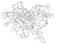
Pittsburgh neighborhoods Map
367 miles away
Mont Fortin Ski Trail Map
Trail map from Mont Fortin. This ski area has its own website.
367 miles away

