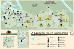
Waterworks Park Map
355 miles away
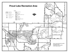
Proud Lake Recreation Area, Michigan Site Map
355 miles away
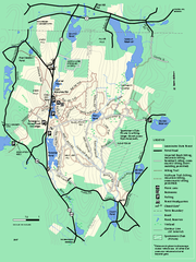
Leominster State Forest trail map
Trail map of Leominster State Forest in Massachusetts
355 miles away
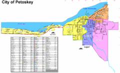
Petoskey Street Map
Street map of Petoskey, Michigan. Official city map.
355 miles away
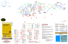
Boyne Highlands Ski Trail Map
Trail map from Boyne Highlands.
355 miles away
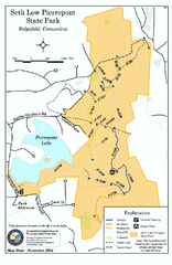
Seth Low Pierrepont State Park Reserve map
Trail map of Seth Low Pierreport State Park in Connecticut.
355 miles away
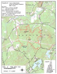
Merrimack Topo Map
A Topographical map Horse Hill Nature Preserve.
355 miles away
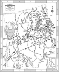
Middlebury, Connecticut Map
355 miles away
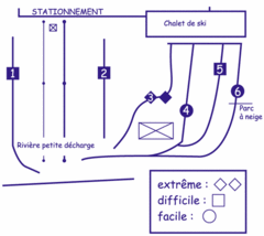
Mont Villa Saguenay Ski Trail Map
Trail map from Mont Villa Saguenay, which provides downhill skiing. This ski area has its own...
355 miles away
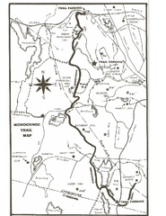
Monoosnoc Trail Map
356 miles away
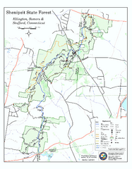
Trail map of Shenipsit State Forest
Trail map of Shenipsit State Forest in Connecticut.
356 miles away

Trough Creek State Park map
Detailed recreation map for Trough Creek State Park in Pennsylvania
357 miles away
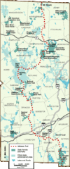
Midstate Trail Map
Map of the Midstate Trail, which runs from Ashburnham to the Rhode Island border. Shows state...
358 miles away
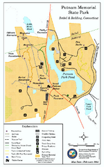
Putnam Memorial State Park map
Trail map for Putnal Memorial State Park in Connecticut,
358 miles away

Wadsworth Athenium Museum Location Map
Wadsworth Athenium visitor location map with locations of major buildings, streets, parks, and...
358 miles away
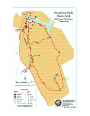
Southford Falls State Park map
Trail map for Southford Falls State Park in Connecticut.
358 miles away
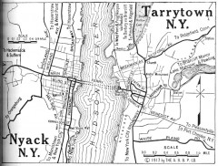
Antique map of Nyack and Tarrytown from 1917
Map of Nyack and Tarrytown, NY from Automobile Blue Book, 1917, Vol. 3
358 miles away
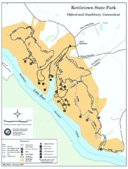
Kettletown State Park trail map
Trail map for Kettletown State Park in Connecticut.
358 miles away
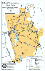
Collis P. Huntington State Park map
Trail map of Collis P. Huntington State Park in Connecticut
358 miles away
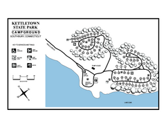
Kettletown State Park campground map
Campground map for Kettletown State Park in Connecticut.
359 miles away
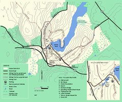
Moore State Park trail map
Trail map of Moore State Park in Massachusetts.
359 miles away
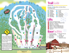
Mt. Southington Ski Area Ski Trail Map
Trail map from Mt. Southington Ski Area, which provides downhill, night, and terrain park skiing...
359 miles away
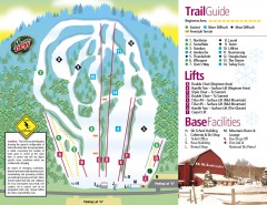
Mount Southington Ski Trail Map
Official ski trail map of Mount Southington ski area from the 2007-2008 season.
359 miles away
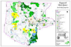
Pepperell Conservation Land and Open Spaces Map
Map showing conservation land and open spaces in Pepperell, MA.
359 miles away

Colonel Denning State Park map
Detailed map of Colonel Dening State Park in Pennsylvania
359 miles away
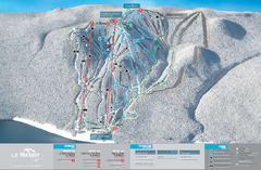
Le Massif Ski Trail Map
Trail map from Le Massif, which provides downhill and nordic skiing. This ski area has its own...
359 miles away
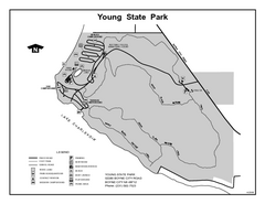
Young State Park, Michigan Site Map
359 miles away
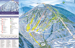
Sugarloaf Ski Trail Map
Trail map from Sugarloaf, which provides downhill, nordic, and terrain park skiing. It has 15 lifts...
359 miles away
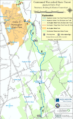
Centennial Watershed State Forest trail map
Trail map of Centennial Watershed State Forest in Connecticut
359 miles away
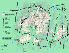
Brimfield State Forest trail map
Trail map of Brimfield State Forest in Massachusetts
359 miles away
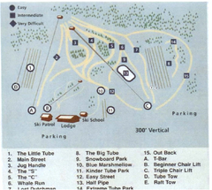
Blue Marsh Ski Area Ski Trail Map
Trail map from Blue Marsh.
360 miles away
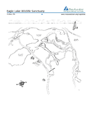
Eagle Lake Conservation Area Map
360 miles away
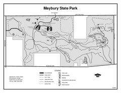
Maybury State Park, Michigan Site Map
360 miles away
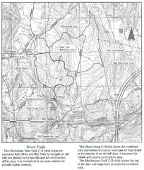
Trout Brook Conservation Area Map
360 miles away
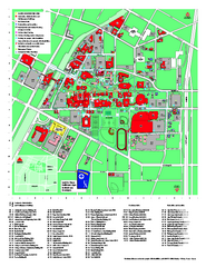
University of Akron Main Campus Map
University of Akron Main Campus Map. All buildings shown.
360 miles away
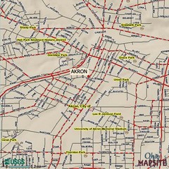
Akron, Ohio City Map
360 miles away
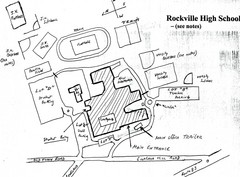
Rockville High School Map
Hand-drawn map of Rockville High School includes all buildings, Parking Lots, and sports fields.
360 miles away
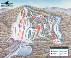
Bear Creek Ski & Recreation Area Ski Trail Map
Trail map from Bear Creek Ski & Recreation Area.
361 miles away
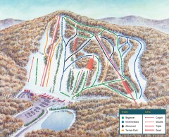
Bear Creek Ski Trail Map
Official ski trail map of Bear Creek ski area from the 2007-2008 season.
361 miles away
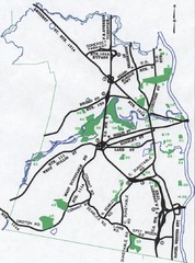
Nashua Parks Map
Map of Nashua, New Hampshire parks
361 miles away

