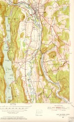
New Milford, Connecticut Map
New Milford, Connecticut topo map with roads, streets and buildings identified
343 miles away

Topsmead State Forest map
Trail map for Topsmead State Forest in Connecticut.
343 miles away

Six Flags New England Theme Park Map
Official Park Map of Six Flags New England in Massachusetts.
343 miles away
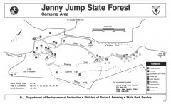
Jenny Jump State Forest map
Trail and camping map of Jenny Jump State Forest in New Jersey.
344 miles away
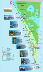
Point Pelee National Park Map
Large and clear national park map
344 miles away
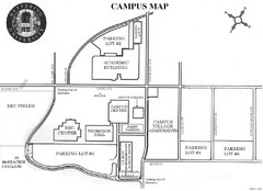
Kettering University Campus Map
Campus map of Kettering University in Flint, Michigan
344 miles away

Wayne State University Map
344 miles away

Detroit Belle Isle Grand Prix Map
345 miles away
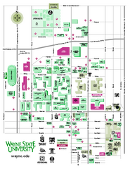
Wayne State University Map
Wayne State University Campus Map. All buildings shown.
345 miles away
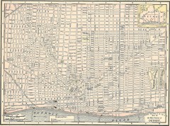
Map of the Main Portion of Detroit - 1895
Map of downtown Detroit, 1895. From Rand McNally's Atlas of the World, 1901, page 42
345 miles away
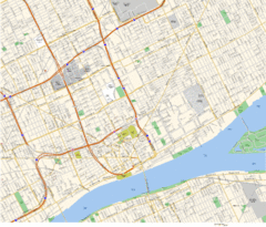
Detroit, MI Tourist Map
345 miles away
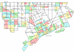
Detroit Neighborhoods Map
345 miles away
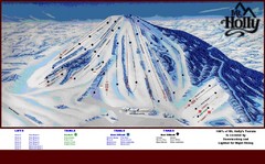
Mt. Holly Ski Area Ski Trail Map
Trail map from Mt. Holly Ski Area.
345 miles away

Detroit, Michigan City Map
345 miles away
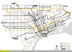
DDOT 2006 System Map
Detroit Department of Transportation Transit System.
345 miles away
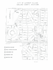
Lathrup Village Street Map
345 miles away

Boyd Big Tree Preserve Conservation Area map
Detailed map of Boyd Big Tree Preserve Conservation Area in Pennsylvania.
345 miles away
Mt. Watatic to Wachusett Mountain, Massachusetts...
345 miles away
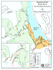
Squantz Pond State Park map
Trail and campground map for Squantz Pond State Park in Connecticut.
345 miles away

Yellow Creek State Park map
Recreation map for Yellow Creek State Park in Pennsylvania
346 miles away
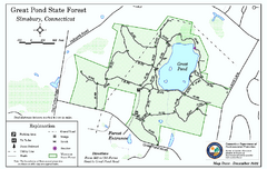
Great Pond State Park trail map
Trail map of Great Pond State Forest in Connecticut.
346 miles away
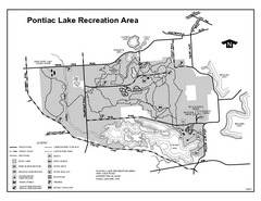
Pontiac Lake Recreation Area, Michigan Site Map
346 miles away
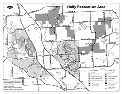
Holly State Recreation Area, Michigan Site Map
346 miles away
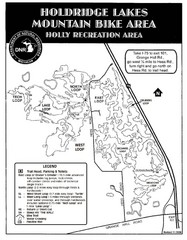
Holdridge Lakes Mountain Bike Map
Part of the Holly Recreation Area, the trail system consists of three loops: 1) A .75 mile loop...
346 miles away

Canoe Creek State Park map
Detailed recreation map for Canoe Creek State Park in Pennsylvania
346 miles away
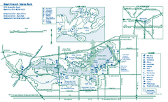
West Branch State Park map
Detailed recreation map for West Branch State Park in Ohio.
346 miles away
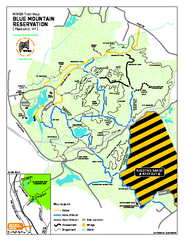
Blue Mountain Reservation Mountain Bike Trail Map
Mountain biking map of the Blue Mountain Reservation from the Westchester Mountain Biking...
347 miles away
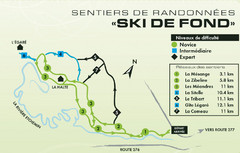
Mont Orignal Ski Trail Map
Trail map from Mont Orignal, which provides downhill and nordic skiing. This ski area has its own...
347 miles away
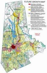
Danbury Regional Growth Map
Guide to future growth of Danbury, CT and surrounds
347 miles away
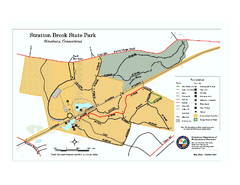
Stratton Brook State Park map
Trail map of Stratton Brook State Park in Connecticut.
347 miles away
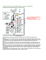
Oakland Community College Highland Lakes Campus...
Oakland Community College Highland Lakes Campus Map. Highland Lakes Campus is located in Waterford...
348 miles away
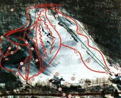
Woodbury Ski Area Ski Trail Map
Trail map from Woodbury Ski Area, which provides downhill, night, nordic, and terrain park skiing...
348 miles away

Little Buffalo State Park map
Detailed map of Little Buffalo State Park in Pennsylvania.
348 miles away
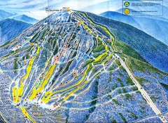
Sugarloaf Mountain Trail Map
Ski trail map
348 miles away
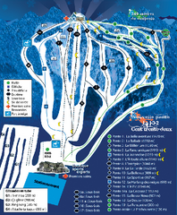
Mont Lac-Vert Ski Trail Map
Trail map from Mont Lac-Vert, which provides downhill skiing. This ski area has its own website.
349 miles away
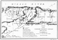
Harlem Hieghts Affair Map
Topography of the field during the battle on Sept 16 1776
349 miles away
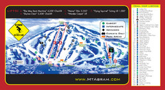
Mt. Abram Ski Resort Ski Trail Map
Trail map from Mt. Abram Ski Resort.
349 miles away
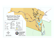
Black Rock State Park trail map
Trail map of Black Rock State Park in Connecticut.
349 miles away
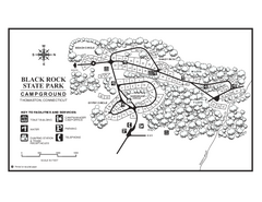
Black Rock Campground map
Map of the Campgrounds in Black Rock State Park.
349 miles away

