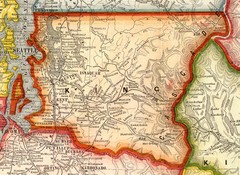
King County Washington, 1909 Map
172 miles away
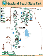
Grayland Beach State Park Map
Map of park with detail of trails and recreation zones
172 miles away
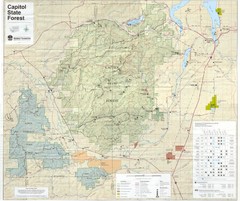
Capitol State Forest Map
172 miles away
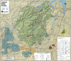
Capitol State Forest Map
Shows all trails in Capitol State Forest and surrounding area, including Lower Chehalis State...
172 miles away
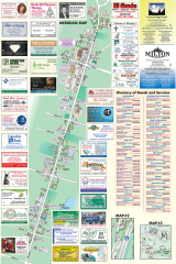
Milton tourist map
Tourist map of Milton, Washington. Shows all businesses.
173 miles away
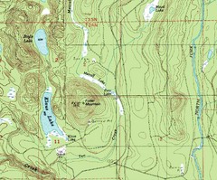
Fuller Mountain Topo Map
Fuller Mountain map with lakes, mountains and elevations identified.
174 miles away
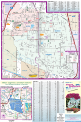
Milton and Edgewood tourist map
Tourist map of Milton and Edgewood, Washington. Shows all businesses.
174 miles away
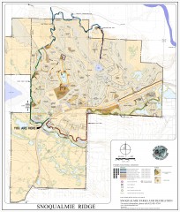
Snoqualmie Trail Map
Shows both soft surface and paved trails for biking, running/hiking/wailking, and horseback riding
174 miles away
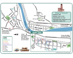
Ashcroft Map
Map of Ashcroft, includes all streets, highways, accommodations and attractions.
179 miles away
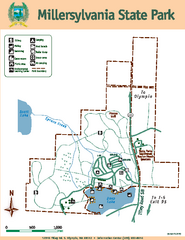
Millersylvania State Park Map
Map of park with detail of trails and recreation zones
179 miles away
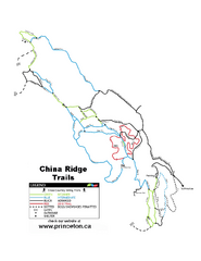
China Ridge XC Ski Trail Map
Trail map from China Ridge XC, which provides nordic skiing.
181 miles away
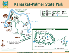
Kanaskat-Palmer State Park Map
Map of park with detail of trails and recreation zones
182 miles away
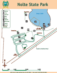
Nolte State Park Map
Map of park with detail of trails and recreation zones
183 miles away
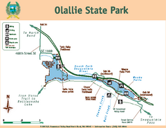
Olallie State Park Map
Map of park with detail of trails and recreation zones
184 miles away
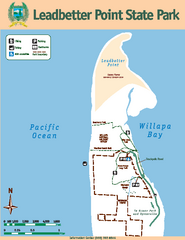
Leadbetter Point State Park Map
Map of park with detail of recreation zones and trails
184 miles away
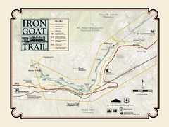
Iron Goat Trail Map
188 miles away
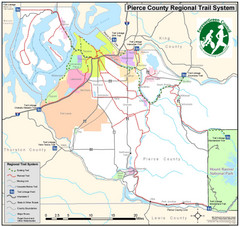
Pierce County Regional Trail Map
County-wide system of trails
189 miles away
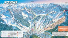
Stevens Pass Ski Trail Map
Official ski trail map of Stevens Pass ski area
191 miles away
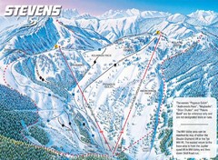
Stevens Pass Ski Area Stevens Pass Mill Valley...
Trail map from Stevens Pass Ski Area, which provides night and terrain park skiing. It has 8 lifts...
191 miles away
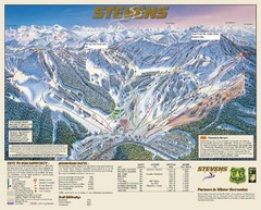
Stevens Pass Trail Map
191 miles away
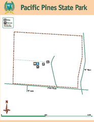
Pacific Pines State Park Map
Map of park with detail of trails and recreation zones
192 miles away
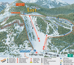
The Summit at Snoqualmie Summit East Ski Trail Map
Trail map from The Summit at Snoqualmie, which provides night and terrain park skiing. It has 30...
193 miles away
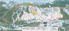
The Summit at Snoqualmie Summit Central Ski Trail...
Trail map from The Summit at Snoqualmie, which provides night and terrain park skiing. It has 30...
193 miles away

Pierce County Washington Map, 1909 Map
193 miles away
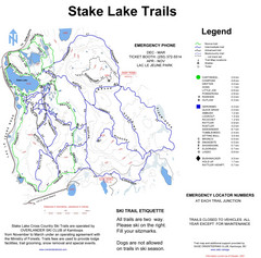
Stake Lake Nordic Ski Trail Map
Trail map from Stake Lake.
202 miles away
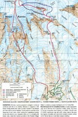
Mount Rainier Topo Map
Map of Mount Rainier Ascent. We ascended the "Muir Snowfield" and then went up the "...
202 miles away
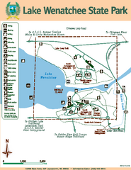
Lake Wenatchee State Park Map
Map of island with detail of trails and recreation zones
203 miles away
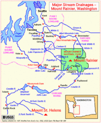
Mount Rainier Major Stream Drainages Map
203 miles away
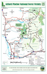
Gifford Pinchot National Forest Vicinity Map
Gifford Pinchot National Forest and surrounding areas including Mt. St Helens.
203 miles away
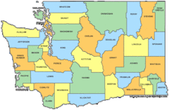
Washington State Counties Map
204 miles away
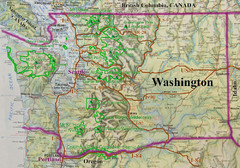
Washington State Road and Recreation Map
204 miles away
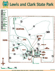
Lewis and Clark State Park Map
Map of park with detail of recreation zones and trails
206 miles away
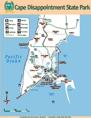
Cape Dissapointment State Park Map
Map of park with detail of trails and recreation zones
207 miles away
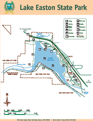
Lake Easton State Park Map
Map of island with detail of trails and recreation zones
208 miles away
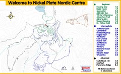
Nickel Plate Nordic Centre Ski Trail Map
Trail map from Nickel Plate Nordic Centre.
208 miles away
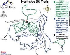
Nickel Plate Nordic Centre North Ski Trail Map
Trail map from Nickel Plate Nordic Centre.
209 miles away
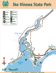
Ike Kinswa State Park Map
Map of park with detail of trails and recreation zones
209 miles away
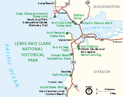
Lewis & Clark National Historic Trail...
Official NPS map of Lewis & Clark National Historic Trail in Oregon-Washington. Shows all areas...
209 miles away
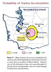
Mount Rainier Probability of Tephra (Ash...
210 miles away
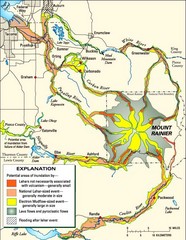
Mount Rainier Potential Lava Flow, Mud Flow and...
Hazard zones for lahars, lava flows, and pyroclastic flows from Mount Rainier. The map shows areas...
210 miles away

