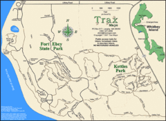
Ft Ebey/Kettle Park Trail Map
Trail map of Fort Ebey Park and Kettle Park, Washington
110 miles away
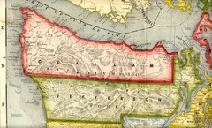
Clallam and Jefferson Counties Washington, 1909...
110 miles away

Oak Harbor tourist map
Tourist map of Oak Harbor, Washington. Shows all businesses.
110 miles away

Coupeville tourist map
Tourist map of Coupeville, Washington. Shows all businesses.
112 miles away
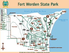
Fort Worden State Park Map
Map of park with detail of trails and recreation zones
113 miles away
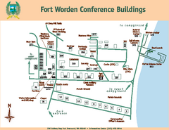
Fort Worden Conference Buildings Map
Map of conference buildings in Fort Worden State Park
113 miles away
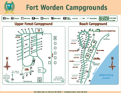
Fort Worden Campgrounds Map
Map of park campgrounds
113 miles away

Skagit County Washington, 1909 Map
114 miles away
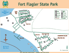
Fort Flagler State Park Map
Map of park with detail of trails and recreation zones
117 miles away
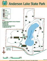
Anderson Lake State Park Map
Map of park and trails
118 miles away
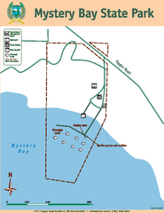
Mystery Bay State Park Map
Map of park with detail of trails and recreation zones
119 miles away
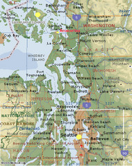
Washington State - West Coast Map
Washington State - West Coast Map
119 miles away
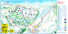
Hemlock Resort Ski Trail Map
Trail map from Hemlock Resort, which provides downhill and terrain park skiing. It has 4 lifts...
119 miles away
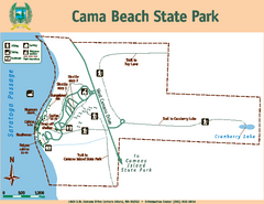
Cama Beach State Park Map
Map of park with detail of trails and recreation zones
119 miles away
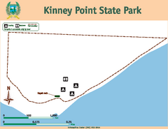
Kinney Point State Park Map
Map of island with detail of trails and recreation zones
120 miles away
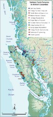
BC Fish Farm Map
Shows salmon farm tenures in southern British Columbia, Canada.
120 miles away
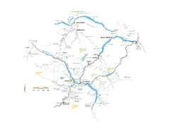
Pemberton Valley Area Parks Map
Area parks map of Pemberton Valley area in BC. Shows peaks and lakes.
121 miles away
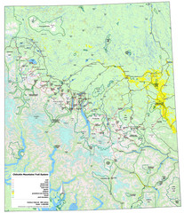
Chilcotin Mountains Trail System Map
Trail system map of the Chilcotin Mountains in BC, Canada "On the trail system map '...
121 miles away
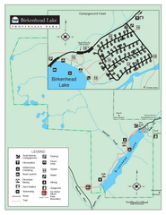
Birkenhead Lake Provincial Park Map
Park map of Birkenhead Lake Provincial Park, BC. Inset of campground
123 miles away

Whidbey Island tourist map
Tourist map of Whidbey Island and Coupeville, Washington. Shows all businesses.
123 miles away
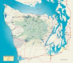
Olympic National Park and Peninsula Map
Guide to the Olympic National Park and surrounding region
124 miles away
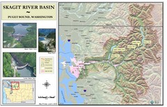
Skagit River Map
Skagit River Basin Overview Map (Pink shading is the FEMA 100 Year Flood)
127 miles away

South Whidbey tourist map
Tourist map of South Whidbey, Washington. Shows all businesses.
129 miles away
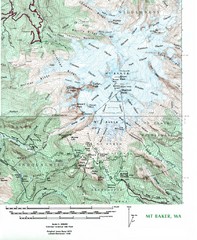
Mt. Baker Topo Map
Topo map of Mt. Baker, Washington, elevation 10,778ft.
130 miles away
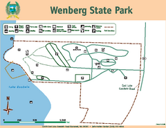
Wenberg State Park Map
Map of park with detail of trails and recreation zones
130 miles away

South Whidbey Island tourist map
Tourist map of South Whidbey Island, Washington. Shows all businesses.
130 miles away

Arlington and Smokey Point tourist map
Tourist map of Arlington and Smokey Point, Washington. Shows all businesses.
131 miles away
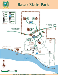
Rasar State Park Map
Map of park with detail of trails and recreation zones
132 miles away
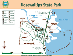
Dosewallips State Park Map
Map of park with detail of trails and recreation zones
132 miles away
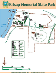
Kitsap Memorial State Park Map
Map of island with detail of trails and recreation zones
133 miles away
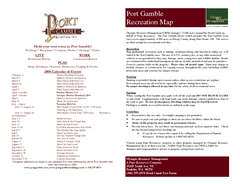
Stottlemeyer trails Map
133 miles away
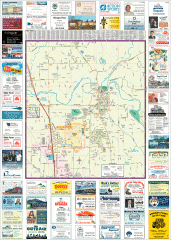
Arlington tourist map
Tourist map of Arlington, Washington. Shows all businesses.
134 miles away
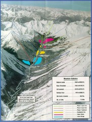
Cayoosh Resort (Melvin Creek) Ski Trail Map
Trail map from Cayoosh Resort (Melvin Creek), which provides downhill skiing.
134 miles away
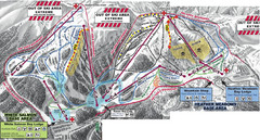
Mt. Baker Ski Area Ski Trail Map
Trail map from Mt. Baker Ski Area, which provides terrain park skiing. It has 10 lifts servicing 38...
134 miles away
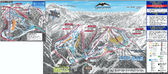
Mt. Baker Ski Trail Map
Official ski trail map of Mount Baker ski area from the 2007-2008 season.
135 miles away
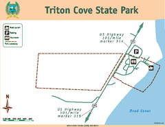
Triton Cove State Park Map
Map of park with detail of trails and recreation zones
135 miles away
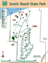
Scenic Beach State Park Map
Map of park with detail of trails and recreation zones
137 miles away
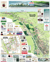
Marysville tourist map
Tourist map of Marysville, Washington. Shows all businesses.
137 miles away
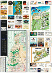
Mukilteo tourist map
Greater Mukilteo, Washington tourist map. Shows all businesses.
138 miles away
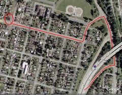
19th and Walnut in Everett, WA Map
140 miles away

