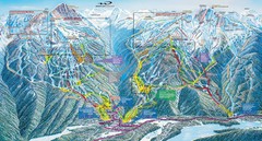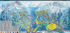
Whistler Blackcomb Ski Resort Map
Ski runs, lifts and amenities on the resort map
94 miles away
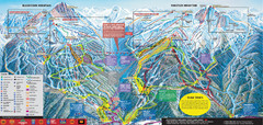
Whistler Blackcomb Ski Trail Map 2007-2008
Official ski trail map of the Whistler Blackcomb ski area from the 2007-2008 season. Site of Alpine...
94 miles away
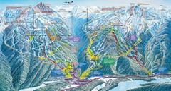
Whistler Blackcomb Trail Map
94 miles away
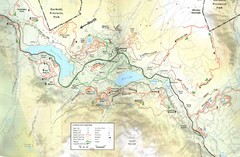
Whistler, CA Hiking and Biking Trails Map
94 miles away
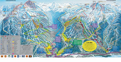
Trail Map Whistler Blackcomb
Map of all trails and ski runs at Whistler and Blackcomb mountains. Includes detailed information...
94 miles away
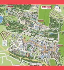
Whistler Village Map
94 miles away
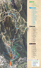
Whistler Blackcomb (Garibaldi Lift Co.) Biking...
Trail map from Whistler Blackcomb (Garibaldi Lift Co.), which provides downhill, night, and terrain...
94 miles away
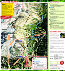
Whistler Blackcomb (Garibaldi Lift Co.) Hiking...
Trail map from Whistler Blackcomb (Garibaldi Lift Co.), which provides downhill, night, and terrain...
94 miles away
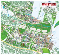
Whistler Village Map
94 miles away
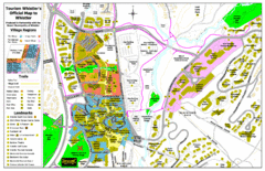
Whistler Village Map
94 miles away
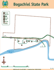
Bogachiel State Park Map
Map of park with detail of trails and recreation zones
94 miles away
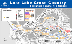
Whistler Cross Country Connection Snowshoeing Ski...
Trail map from Whistler Cross Country Connection.
94 miles away
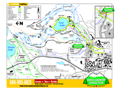
Whistler Cross Country Connection 2006–07...
Trail map from Whistler Cross Country Connection.
94 miles away
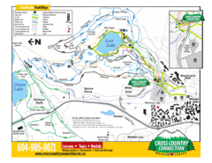
Lost Lake, Whistler Hiking and Biking Trail Map
95 miles away
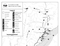
Golden Ears Provincial Park Map
Park map of Golden Ears Provincial Park, BC. 2 pages.
96 miles away
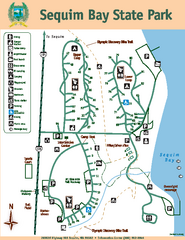
Sequim Bay State Park Map
Map of park with detail of trails and recreation zones
97 miles away
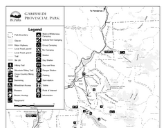
Garibaldi Provincial Park Map
Park map of Garibaldi Provincial Park, BC. 2 pages.
97 miles away
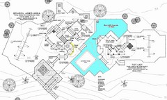
Lynden City Park Map
99 miles away
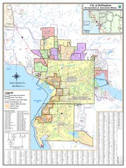
Bellingham, Washington City Map
101 miles away
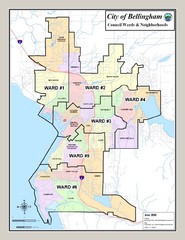
Bellingham Ward Map
Guide to wards in Bellingham, WA
101 miles away
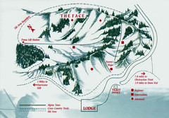
Hurricane Ridge Ski Trail Map
Trail map from Hurricane Ridge.
101 miles away
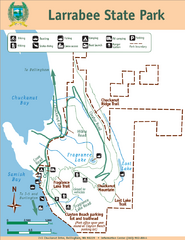
Larrabee State Park Map
Park map of Larrabee State Park, Washington.
104 miles away
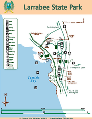
Larrabee State Park Map
Map of island with detail of trails and recreation zones
104 miles away
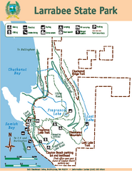
Larrabee State Park Map
Map of island with detail of trails and recreation zones
104 miles away
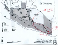
Lake Padden Park Trails Map
Course Elevation Map noted in handwriting on map. Festival location noted as well.
104 miles away
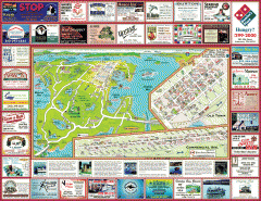
Anacortes tourist map
Tourist map of Anacortes, Washington. Shows recreation and points of interest.
104 miles away
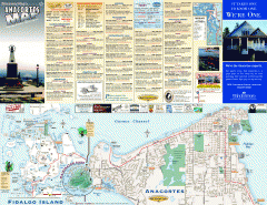
Fidalgo Island tourist map
Tourist map of Fidalgo Island in Anacortes, Washington. Shows recreation and points of interest.
106 miles away
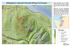
Bellingham Galbraith Mountain Biking Trail Map
Mountain biking trail map of Whatcom Falls Park near Bellingham, WA
106 miles away
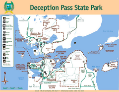
Deception Pass State Park Map
Map of park with detail of trails and recreation zones
106 miles away
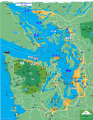
Seattle Ferry Guide Map
Map of ferries around Seattle, Puget Sound and Olympic Peninsula
106 miles away
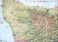
Olympic National Park Map
106 miles away
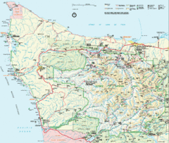
Olympic National Park Map
106 miles away
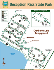
Deception Pass State Park Map
Map of park with detail of trails and recreation zones
107 miles away
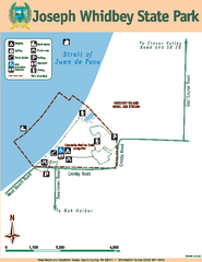
Joseph Whidbey State Park Map
Map of park with detail of trails and recreation zones
107 miles away
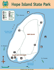
Hope Island State Park Map
Map of park with detail of trails and recreation zones
108 miles away
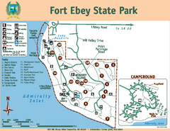
Fort Ebey State Park Map
Map of park with detail of trails and recreation zones
109 miles away
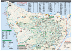
Olympic National Park wilderness campsite map
Official wilderness campsite map of Olympic National Park. Shows roads, trails, visitor...
109 miles away

