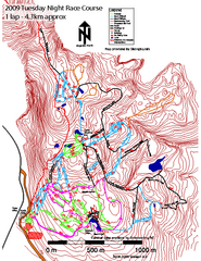
Cypress Mountain Tuesday Night Race Course Ski...
Trail map from Cypress Mountain, which provides downhill, night, nordic, and terrain park skiing...
63 miles away
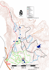
Cypress Mountain Nordic (Skiingbc.info Topo...
Trail map from Cypress Mountain, which provides downhill, night, nordic, and terrain park skiing...
63 miles away
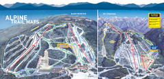
Cypress Mountain Ski Trail Map
Official ski trail map of Cypress Mountain ski area from the 2007-2008 season. Official freestyle...
63 miles away
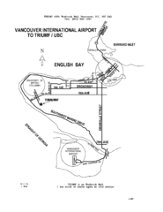
Vancouver Locational Map
Visitor Information Map includes directions from the Vancouver International Airport to the...
63 miles away
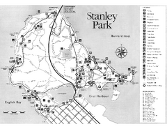
Stanley Park Trail Map
Trail map of Stanley Park near downtown Vancouver, BC. Shows monuments.
65 miles away
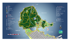
Stanley Park Map
Overview trail map of Stanley Park in Vancouver, BC.
65 miles away
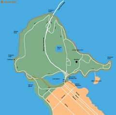
Stanley Park Map
65 miles away
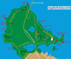
Stanely Park Map
65 miles away
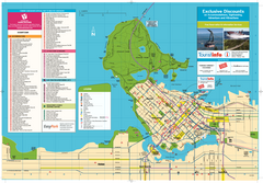
Map of Greater Vancouver
Tourism Vancouver's official map of Greater Vancouver. Shows accomodations, attractions...
65 miles away
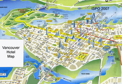
Vancouver Hotels Map
65 miles away
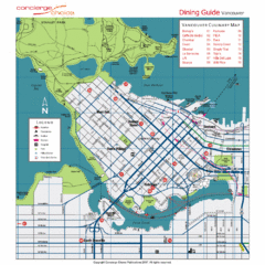
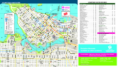
Downtown Vancouver Map
65 miles away
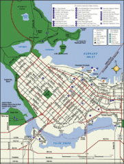
Vancouver Map
Street map of Vancouver
65 miles away
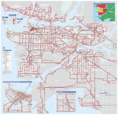
Vancouver Regional Transportation System Map
65 miles away
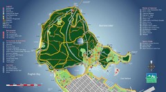
Stanley Park Map
65 miles away
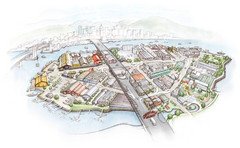
Granville Island Map
65 miles away
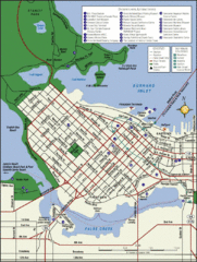
Vancouver Tourist Map
Tourist map of downtown Vancouver
65 miles away
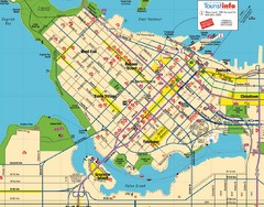
Vancouver Downtown Map
Detailed street map of Downtown Vancouver
65 miles away
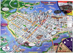
Vancouver Downtown Map
Panoramic tourist map of downtown Vancouver, BC. Shows major buildings in 3D.
66 miles away
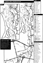
Capilano River Park Trail Map
Trail map of Capilano River Regional Park near Vancouver, BC
66 miles away
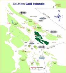
Southern Gulf Islands Map
Map of the region. Shows ferry routes.
67 miles away

The Town of Sidney - Parks Map
68 miles away
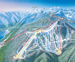
Grouse Mountain Ski Trail Map
Trail map from Grouse Mountain, which provides downhill, night, and terrain park skiing. It has 5...
68 miles away
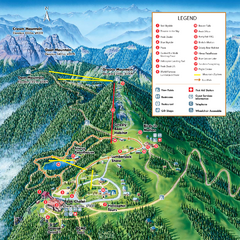
Grouse Mountain Summer Trail Map
Summer trail map of Grouse Mountain Resort near Vancouver, BC.
68 miles away
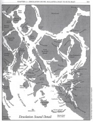
Desolation Sound Detail Map
Shows general geography of Desolation Sound from Malaspina Inlet to Bute Inlet. Shows Cortes Bay...
69 miles away

rthsaanich.ca District Map
69 miles away
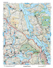
Campbell River Area Map
Vancouver Island, Victoria & Gulf Islands
71 miles away
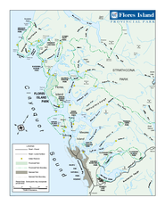
Flores Island Provincial Park Area Map
Park map of area around Flores Island Provincial Park, BC in the Clayoquot Sound. Flores Island is...
71 miles away
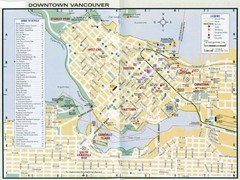
Vancouver Map
71 miles away
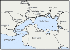
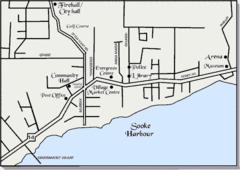
Community of Sooke, British Columbia Map
http://www.sooke.org/maps/map2.htm © Pax Media Inc.
73 miles away
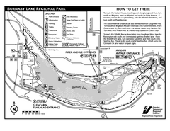
Burnaby Lake Park Trail Map
Trail map of Burnaby Lake Park in Vancouver, BC
74 miles away
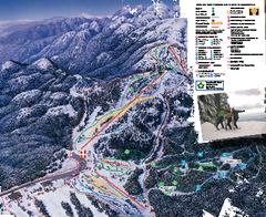
Mount Seymour Ski Trail Map
Trail map from Mount Seymour, which provides downhill, night, and terrain park skiing. It has 5...
74 miles away

Galloping Goose and Lochside Regional Trails Map
75 miles away
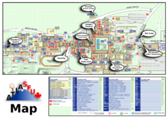
Simon Fraser University Campus Map
Simon Fraser University Campus Map includes the location of all buildings, bus stops, emergency...
75 miles away
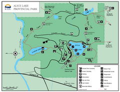
Alice Lake Provincal Park Map
75 miles away
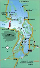
British Columbia, Canada Tourist Map
76 miles away
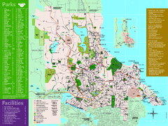
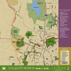
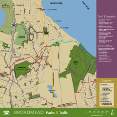
Full Map of Saanich Parks & Trails 2012
Full Map of Saanich Parks & Trails 2012
76 miles away

