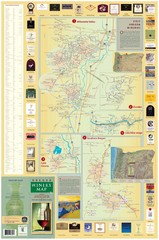
Oregon Winery Map / Local Side
451 miles away
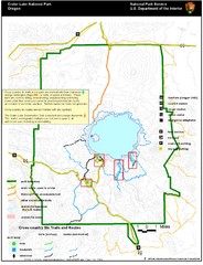
Crater Lake National Park Map
451 miles away
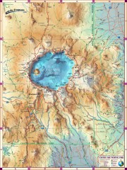
Crater Lake National Park map
Great map of Crater Lake National Park shows all trails, viewpoints, mountains, roads, campgrounds...
452 miles away
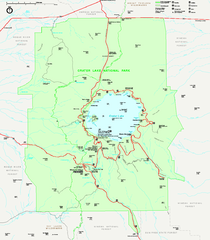
Crater Lake National Park official map
Official map of Crater Lake National Park. Shows hiking trails, elevations of peaks, roads, and...
452 miles away

Nisga'a Commercial Recreation Area Map
Guide to commercial recreation in aboriginal lands in British Columbia
455 miles away
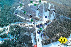
Pass Powderkeg Ski Trail Map
Trail map from Pass Powderkeg, which provides downhill skiing. This ski area has its own website.
456 miles away
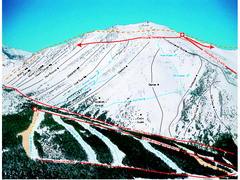
Castle Mountain Resort Ski Trail Map
Trail map from Castle Mountain Resort, which provides downhill skiing. This ski area has its own...
458 miles away
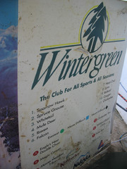
2001 Wintergreen Downhill Map Part 2
Trail map from Wintergreen.
459 miles away
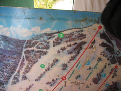
2001 Wintergreen Downhill Map Part 1
Trail map from Wintergreen.
459 miles away
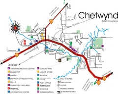
Chetwynd Town Map
463 miles away
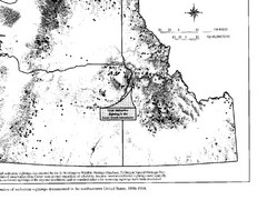
Map of Wolverine Sightings: 1886 -- 1998
464 miles away
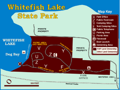
Whitefish Lake State Park Map
Although it’s right on the outskirts of Whitefish, this small park provides a mature forest...
468 miles away
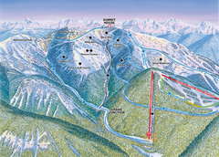
Whitefish Mountain Resort Hellroaring Ski Trail...
Trail map from Whitefish Mountain Resort.
468 miles away

Whitefish Mountain Resort Northside Ski Trail Map
Trail map from Whitefish Mountain Resort.
468 miles away
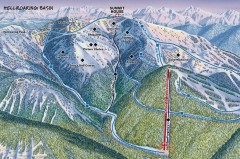
Whitefish Mountain Ski Trail Map - Hellroaring...
Official ski trail map of Whitefish Mountain ski area from the 2007-2008 season. (formerly named...
468 miles away
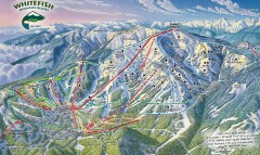
Whitefish Mountain Ski Trail Map - Front Side
Official ski trail map of Whitefish Mountain ski area from the 2007-2008 season. (formerly named...
468 miles away
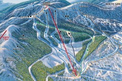
Whitefish Mountain Ski Trail Map - North Side
Official ski trail map of Whitefish Mountain ski area from the 2007-2008 season. (formerly named...
468 miles away
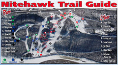
Nitehawk Ski Hill Ski Trail Map
Trail map from Nitehawk Ski Hill, which provides downhill skiing. This ski area has its own website.
469 miles away
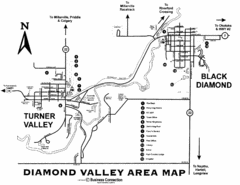
Diamond Valley Area Map
Map of Diamond Valley are, with Turner Valley & Black Diamond oil towns
469 miles away
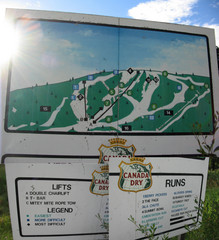
Silver Summit Ski Trail Map
Trail map from Silver Summit, which provides downhill and nordic skiing. This ski area has its own...
470 miles away
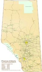
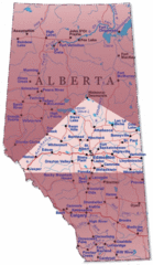
Alberta Tourist Map
Cities and areas in Alberta, Canada
472 miles away
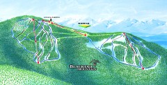
Blacktail Mountain Ski Trail Map
Official ski trail map of Blacktail Mountain ski area. See Blacktail's site for trailnames.
474 miles away

Blacktail Mountain Ski Area Ski Trail Map
Trail map from Blacktail Mountain Ski Area.
474 miles away
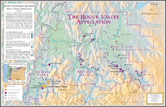
Oregon Rogue Valley wineries Map
Southern Oregon's Rogue Valley wineries
475 miles away
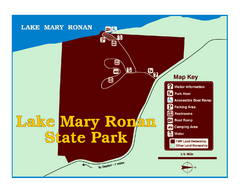
Lake Mary Ronan State Park Map
Off the beaten path just seven miles west of Flathead Lake, this park is shaded by Douglas fir and...
475 miles away
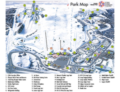
Canada Olympic Park Ski Trail Map
Trail map from Canada Olympic Park, which provides downhill skiing. This ski area has its own...
476 miles away
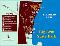
Big Arm State Park Map
Clear map and map key of Park camping grounds.
480 miles away
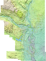
Calgary Topo Bike Map
This map shows the city of Calgary's bike routes. The topographic representation of the...
481 miles away
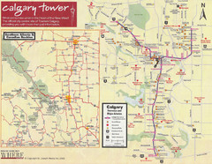
Calgary Tourist Map
Tourist map of Calgary, Canada. Shows points of interest. Scanned.
482 miles away
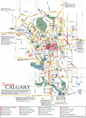
Calgary Map
482 miles away
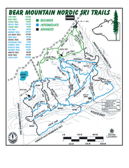
Bear Mountain Nordic Ski Trail Map
Trail map from Bear Mountain.
482 miles away

Edmonton, Alberta Tourist Map
Edmonton, Alberta and the area west of it
483 miles away
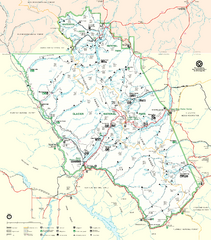
Glacier National Park Trail Map
Trails campgrounds and ranger stations.
484 miles away
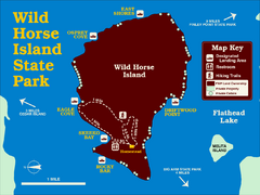
Wild Horse Island State Park Map
Boat access to this day-use-only, primitive park is regulated to protect the 2,000-acre island. The...
484 miles away
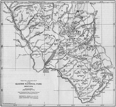
1915 Glacier National Park Map
Historical map of Glacier National Park in Montana.
484 miles away

Bear Creek Greenway Map
Trail map of the Bear Creek Greenway connecting Central Point to Ashland, Oregon. Will eventually...
486 miles away
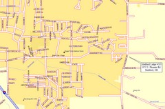
Medford, Oregon City Map
486 miles away
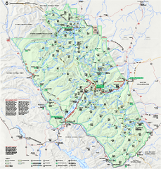
Glacier National Park official map
Glacier National Park official map.
487 miles away
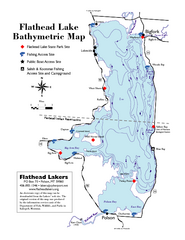
Bathymetric Map of Flathead Lake
Bathymetry refers to underwater depth
487 miles away

