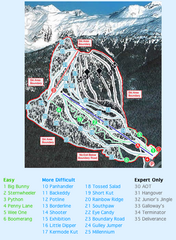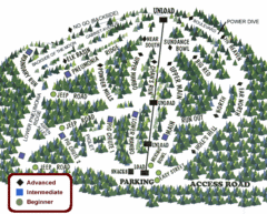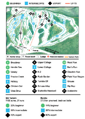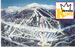
Silver Mountain Resort Ski Trail Map
Trail map from Silver Mountain Resort, which provides downhill, night, and terrain park skiing. It...
407 miles away
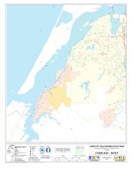
West Coos Bay Oregon Road Map
407 miles away
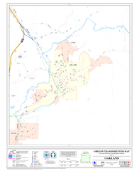
Oakland Oregon Road Map
408 miles away
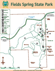
Fields Spring State Park Map
Map of park with detail of trails and recreation zones
409 miles away
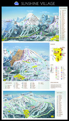
Sunshine Trail Map
Trail map of Sunshine Village
409 miles away
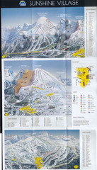
Banff’s Sunshine Village Ski Trail Map
Trail map from Banff’s Sunshine Village.
409 miles away
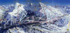
Sunshine Village Ski Trail Map
Official ski trail map of Sunshine Village ski area.
410 miles away
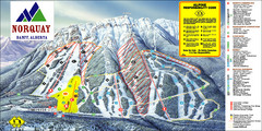
Banff Mount Norquay Ski Trail Map
Trail map from Banff Mount Norquay, which provides downhill skiing. This ski area has its own...
419 miles away
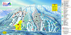
Norquay Map
Ski trail map
420 miles away
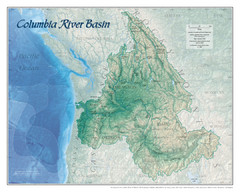
Columbia River Basin Map
420 miles away
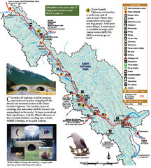
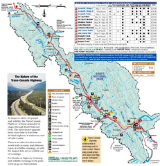
Banff National Park Map
420 miles away
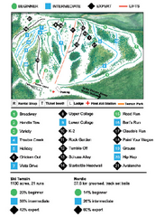
Anthony Lakes Mountain Resort Ski Trail Map
Trail map from Anthony Lakes Mountain Resort.
421 miles away
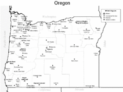
Oregon Airport Map
422 miles away
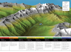
Island Lake Hiking Map
Hiking trail map of Island Lake area near Fernie, BC
423 miles away
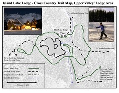
Island Lake Lodge Ski Trail Map
Trail map from Island Lake Lodge, which provides nordic skiing. This ski area has its own website.
423 miles away
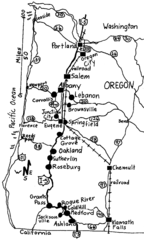
Oregon Walks Map
Walks in Portland, Oregon City, Corvallis, Salem, Lebanon, Albany, Eugene, Springfield, Junction...
424 miles away
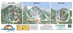
Lookout Pass Ski Trail Map
Official ski trail map of Lookout Pass ski area from the 2007-2008 season. Shows Montana, Idaho...
426 miles away
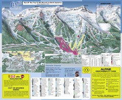
Fernie Ski Trail Map
Official ski trail map of Fernie ski area from the 2007-2008 season.
427 miles away

Panorama Ski Area Trail Map
Guide to the Panorama Mountain Resort, outside Calgary, Canada
427 miles away
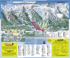
Fernie Alpine Resort Ski Trail Map
Trail map from Fernie Alpine Resort, which provides downhill and nordic skiing. This ski area has...
427 miles away
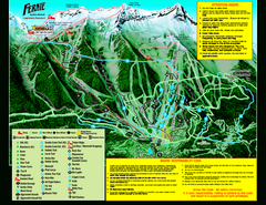
Fernie Alpine Resort 2007 Fernie Summer Map
Trail map from Fernie Alpine Resort, which provides downhill and nordic skiing. This ski area has...
427 miles away
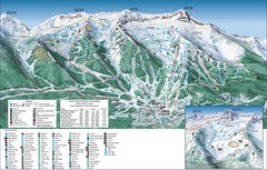
Fernie Alpine Trail Map
Ski trail map
428 miles away
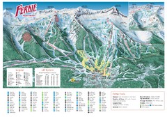
Fernie Mountain Trail Map
428 miles away
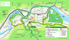
Fernie Town Trails Map
Trail map of recreational trails in and around town of Fernie, BC
429 miles away
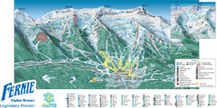
Fernie Mountain Trail Map
429 miles away
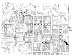
Myrtle Point walking tour Map
Walking tour map of the Historic homes of Myrtle Point in the Coquille Valley of Oregon.
429 miles away
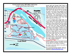
Fernie Golf Course Ski Trail Map
Trail map from Fernie Golf Course, which provides nordic skiing. This ski area has its own website.
429 miles away
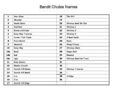
Fortress Bandit Chutes Run Names List Map
Trail map from Fortress, which provides downhill skiing.
430 miles away
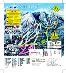
Nakiska Ski Resort Ski Trail Map
Trail map from Nakiska Ski Resort, which provides downhill skiing. This ski area has its own...
434 miles away
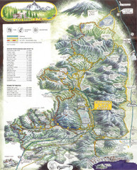
Diamond Lake Tourist Map
437 miles away
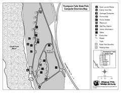
Thompson Falls State Park Map
This shaded, quiet campground is located on the Clark Fork River near the town of Thompson Falls in...
438 miles away
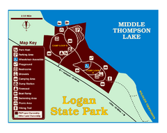
Logan State Park Map
With frontage on the north shore of Middle Thompson Lake, Logan is heavily forested with western...
441 miles away
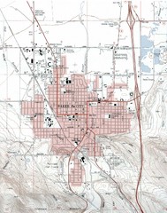
Baker City, Oregeon Tourist Map
443 miles away
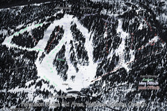
Ferguson Ridge Ski Trail Map
Trail map from Ferguson Ridge.
445 miles away
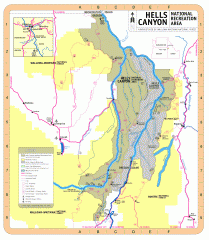
Hells Canyon National Recreation Area Map
Official Forest Service map of the Hells Canyon National Recreation Area. Shows roads, trails...
446 miles away

