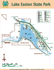
Lake Easton State Park Map
Map of island with detail of trails and recreation zones
202 miles away

Skagit County Washington, 1909 Map
202 miles away
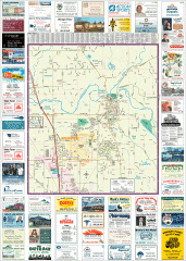
Arlington tourist map
Tourist map of Arlington, Washington. Shows all businesses.
202 miles away
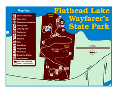
Wayfarers State Park Map
202 miles away
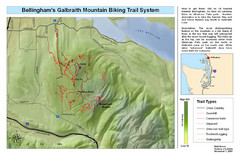
Bellingham Galbraith Mountain Biking Trail Map
Mountain biking trail map of Whatcom Falls Park near Bellingham, WA
202 miles away
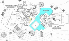
Lynden City Park Map
203 miles away
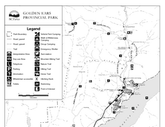
Golden Ears Provincial Park Map
Park map of Golden Ears Provincial Park, BC. 2 pages.
203 miles away
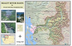
Skagit River Map
Skagit River Basin Overview Map (Pink shading is the FEMA 100 Year Flood)
203 miles away

Centennial Trail Map
203 miles away

Centennial Trail Map
Centennial Trail has 23 miles completed (Snohomish to Bryant) with more in progress.
204 miles away

Arlington and Smokey Point tourist map
Tourist map of Arlington and Smokey Point, Washington. Shows all businesses.
205 miles away
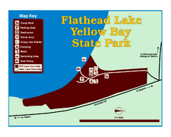
Yellow Bay State Park Map
Yellow Bay is in the heart of the famous Montana sweet cherry orchards, blossoms color the...
205 miles away
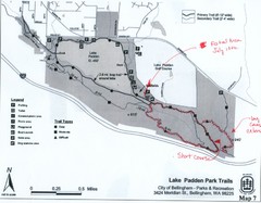
Lake Padden Park Trails Map
Course Elevation Map noted in handwriting on map. Festival location noted as well.
205 miles away
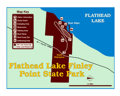
Finley Point State Park Map
This park is located in a secluded, mature pine forest near the south end of Flathead Lake. Enjoy...
206 miles away
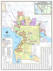
Bellingham, Washington City Map
206 miles away
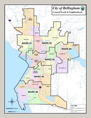
Bellingham Ward Map
Guide to wards in Bellingham, WA
206 miles away
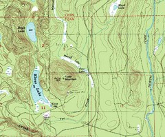
Fuller Mountain Topo Map
Fuller Mountain map with lakes, mountains and elevations identified.
207 miles away
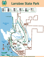
Larrabee State Park Map
Map of island with detail of trails and recreation zones
207 miles away
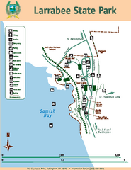
Larrabee State Park Map
Map of island with detail of trails and recreation zones
207 miles away
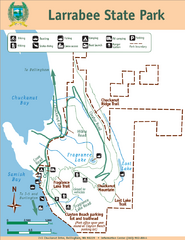
Larrabee State Park Map
Park map of Larrabee State Park, Washington.
207 miles away
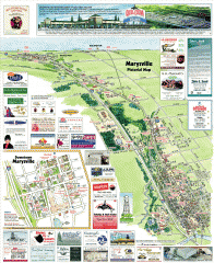
Marysville tourist map
Tourist map of Marysville, Washington. Shows all businesses.
208 miles away
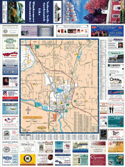
Snohomish tourst map
Tourist map of Snohomish, Washington. Shows all businesses.
209 miles away
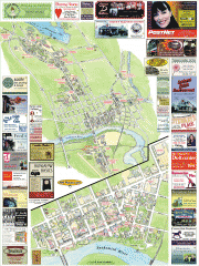
Snohomish tourist map
Snohomish, Washington tourist map. Shows all businesses.
209 miles away
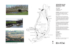
Spencer Island Park map
209 miles away
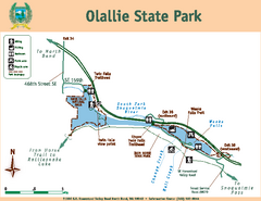
Olallie State Park Map
Map of park with detail of trails and recreation zones
209 miles away
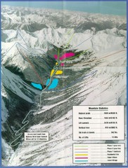
Cayoosh Resort (Melvin Creek) Ski Trail Map
Trail map from Cayoosh Resort (Melvin Creek), which provides downhill skiing.
210 miles away
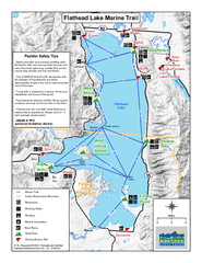
West Shore State Park Map
Glacially carved rock outcrops rise from Flathead Lake to overlooks with spectacular views of the...
210 miles away
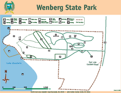
Wenberg State Park Map
Map of park with detail of trails and recreation zones
210 miles away
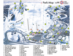
Canada Olympic Park Ski Trail Map
Trail map from Canada Olympic Park, which provides downhill skiing. This ski area has its own...
210 miles away
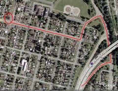
19th and Walnut in Everett, WA Map
211 miles away
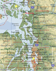
Washington State - West Coast Map
Washington State - West Coast Map
212 miles away
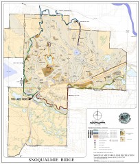
Snoqualmie Trail Map
Shows both soft surface and paved trails for biking, running/hiking/wailking, and horseback riding
212 miles away
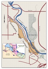
JackRabbit Ridge Natural Area Map
Shows urban wildlands
213 miles away
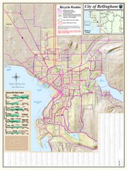
Bellingham, Washington City Map
213 miles away
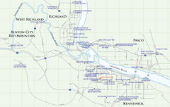
Kennewick Hotel Map
214 miles away
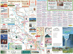
Snoqualmie Valley tourist map
Tourist map of the Snoqualmie Valley, Washington. Shows all businesses.
214 miles away
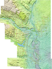
Calgary Topo Bike Map
This map shows the city of Calgary's bike routes. The topographic representation of the...
214 miles away
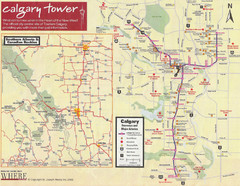
Calgary Tourist Map
Tourist map of Calgary, Canada. Shows points of interest. Scanned.
215 miles away
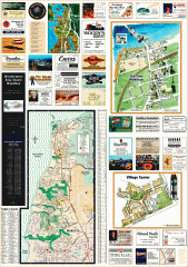
Mukilteo tourist map
Greater Mukilteo, Washington tourist map. Shows all businesses.
215 miles away
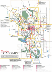
Calgary Map
215 miles away

