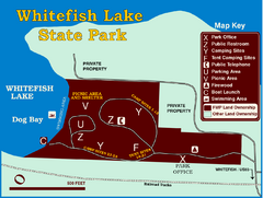
Whitefish Lake State Park Map
Although it’s right on the outskirts of Whitefish, this small park provides a mature forest...
175 miles away
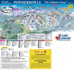
Lake Louise Ski Trail map - Ptarmigan/Paradise...
Official ski trail map of the Ptarmigan/Paradise/Back Bowls of Lake Louise ski area from the 2005...
175 miles away
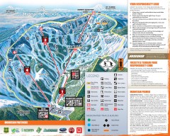
Mission Ridge Ski Trail Map
Official ski trail map of Mission Ridge ski area from the 2007-2008 season.
175 miles away
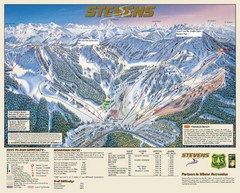
Stevens Pass Trail Map
175 miles away
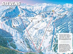
Stevens Pass Ski Area Stevens Pass Mill Valley...
Trail map from Stevens Pass Ski Area, which provides night and terrain park skiing. It has 8 lifts...
176 miles away
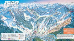
Stevens Pass Ski Trail Map
Official ski trail map of Stevens Pass ski area
176 miles away
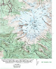
Mt. Baker Topo Map
Topo map of Mt. Baker, Washington, elevation 10,778ft.
176 miles away
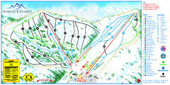
Hemlock Resort Ski Trail Map
Trail map from Hemlock Resort, which provides downhill and terrain park skiing. It has 4 lifts...
178 miles away
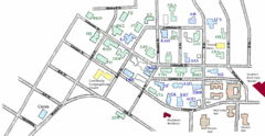
Washington State University's Greek Row Map
Map of WSU's fraternities and sororities
178 miles away
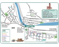
Ashcroft Map
Map of Ashcroft, includes all streets, highways, accommodations and attractions.
178 miles away

Pullman Parks Trail Map
Trails and pathways map
178 miles away
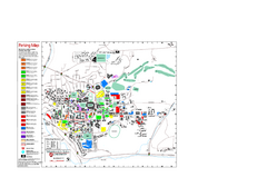
Washington State University Map
Washington State University Campus Map. All buildings shown.
178 miles away
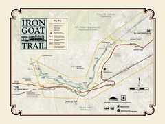
Iron Goat Trail Map
179 miles away
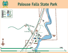
Palouse Falls State Park Map
Map of park with detail of trails and recreation zones
179 miles away
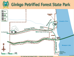
Ginkgo Petrified Forest State Park Map
Map of park with detail of trails and recreation zones
184 miles away
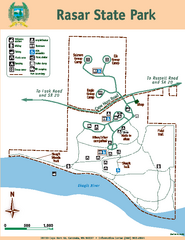
Rasar State Park Map
Map of park with detail of trails and recreation zones
185 miles away
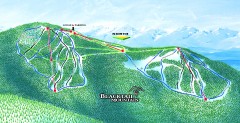
Blacktail Mountain Ski Trail Map
Official ski trail map of Blacktail Mountain ski area. See Blacktail's site for trailnames.
186 miles away
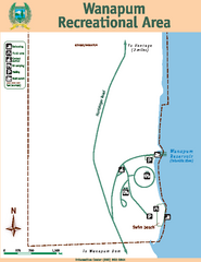
Wanapum Recreational Area Map
Map of park with detail of trails and recreation zones
186 miles away

Blacktail Mountain Ski Area Ski Trail Map
Trail map from Blacktail Mountain Ski Area.
186 miles away
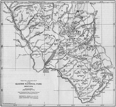
1915 Glacier National Park Map
Historical map of Glacier National Park in Montana.
188 miles away
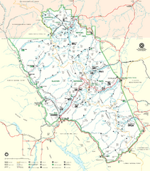
Glacier National Park Trail Map
Trails campgrounds and ranger stations.
189 miles away
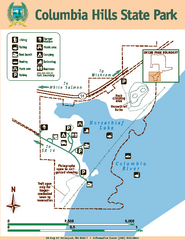
Columbia Hills State Park Map
Map of park with detail of trails and recreation zones
189 miles away
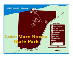
Lake Mary Ronan State Park Map
Off the beaten path just seven miles west of Flathead Lake, this park is shaded by Douglas fir and...
189 miles away
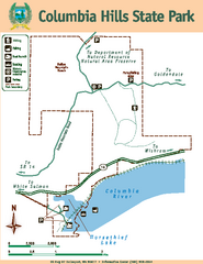
Columbia Hills State Park Map
Map of park with detail of trails and recreation zones
189 miles away
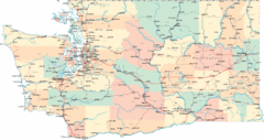
Washington Road Map
Road map of state of Washington
190 miles away
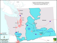
Washington Steelhead Salmon Map
Shows federally listed steelhead salmon evolutionarily significant units in Washington state.
190 miles away
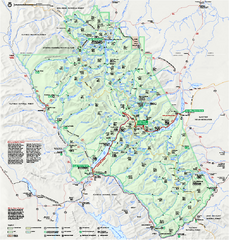
Glacier National Park official map
Glacier National Park official map.
191 miles away
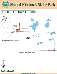
Mount Pilchuck State Park Map
Map of park with detail of trails and recreation zones
192 miles away
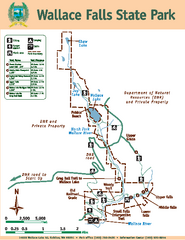
Wallace Falls State Park Map
Map of park with detail of trails and recreation zones
192 miles away
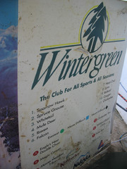
2001 Wintergreen Downhill Map Part 2
Trail map from Wintergreen.
194 miles away
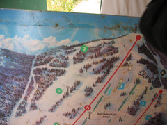
2001 Wintergreen Downhill Map Part 1
Trail map from Wintergreen.
194 miles away
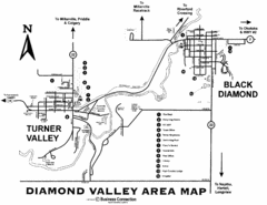
Diamond Valley Area Map
Map of Diamond Valley are, with Turner Valley & Black Diamond oil towns
194 miles away
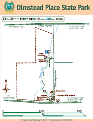
Olmstead Place State Park Map
Map of park with detail of trails and recreation zones
194 miles away

Glacier National Park by carvedmaps.com Map
Wooden carved map of Glacier National Park by carvedmaps.com Anywhere in the United States maps...
196 miles away
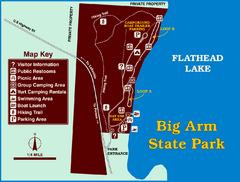
Big Arm State Park Map
Clear map and map key of Park camping grounds.
196 miles away
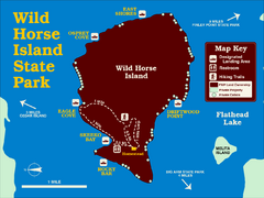
Wild Horse Island State Park Map
Boat access to this day-use-only, primitive park is regulated to protect the 2,000-acre island. The...
198 miles away
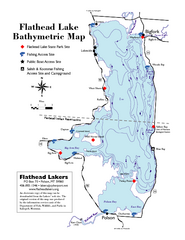
Bathymetric Map of Flathead Lake
Bathymetry refers to underwater depth
200 miles away
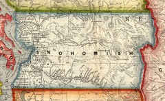
Snohomish County Washington, 1909 Map
201 miles away
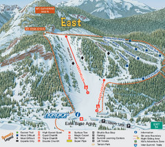
The Summit at Snoqualmie Summit East Ski Trail Map
Trail map from The Summit at Snoqualmie, which provides night and terrain park skiing. It has 30...
201 miles away
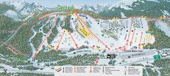
The Summit at Snoqualmie Summit Central Ski Trail...
Trail map from The Summit at Snoqualmie, which provides night and terrain park skiing. It has 30...
201 miles away

