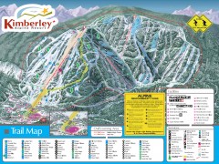
Kimberley Ski Trail Map
Official ski trail map of Kimberley ski area from the 2007-2008 season.
94 miles away

Sandpoint City Map
Street map of downtown Sandpoint
94 miles away
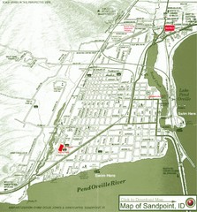
Map of Sandpoint, Idaho
Map of the entire town of Sandpoint including all streets, highways and other information.
94 miles away
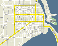
Sandpoint City Beach Map
Downtown Sandpoint Map.
94 miles away
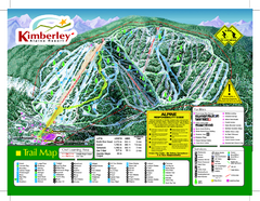
Kimberley Alpine Resort Ski Trail Map
Trail map from Kimberley Alpine Resort.
95 miles away
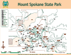
Mount Spokane State Park Map
Map of park with detail of trails and recreation zones
100 miles away
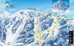
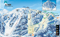
Mt. Spokane Ski Trail Map
Official ski trail map of Mount Spokane ski area from the 2006-2007 season.
100 miles away
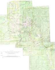
Mount Spokane Trail Map
Contour map of Mount Spokane
100 miles away

Kootenay Rockies Map
The Kootenay Rockies Range in British Columbia, Canada
103 miles away
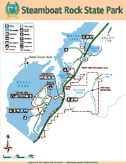
Steamboat Rock State Park Map
Map of park with detail of trails and recreation zones
103 miles away
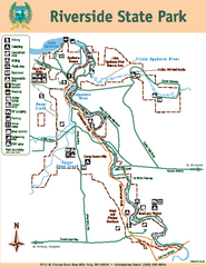
Riverside State Park Map
Map of park with detail of trails and recreation zones
103 miles away
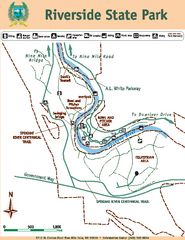
Riverside State Park Map
Map of park with detail of trails and recreation zones
104 miles away
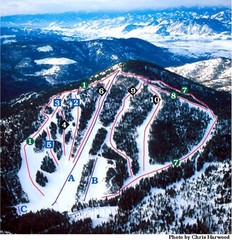
Loup Loup Ski Bowl Ski Trail Map
Trail map from Loup Loup Ski Bowl, which provides downhill, night, and nordic skiing. It has 2...
105 miles away
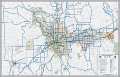
Spokane, Washington Bike Map
113 miles away
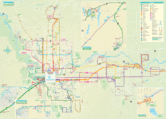
Spokane Guide Map
Roads and areas in and around Spokane, Washington
113 miles away
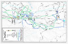
Larch Hills Nordics Core Ski Trail Map
Trail map from Larch Hills Nordics, which provides night and nordic skiing. This ski area has its...
113 miles away
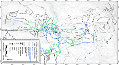
Larch Hills Nordics All Ski Trail Map
Trail map from Larch Hills Nordics, which provides night and nordic skiing. This ski area has its...
113 miles away
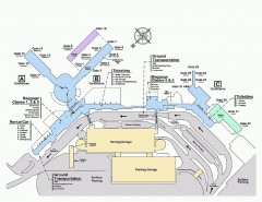
Spokane International Airport Terminal Map
Official Map of Spokane International Airport in Washington state. Shows all terminals.
114 miles away
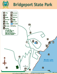
Bridgeport State Park Map
Map of park with detail of trails and recreation zones
114 miles away
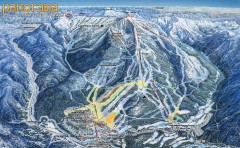
Panorama Ski Trail Map
Official ski trail map of Panorama ski area from the 2006-2007 season.
115 miles away
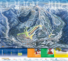
Panorama Mountain Village Ski Trail Map
Trail map from Panorama Mountain Village.
115 miles away

Panorama Trail Map
Ski trail map
116 miles away
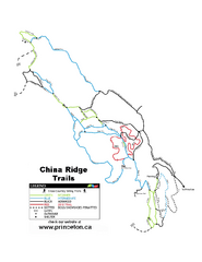
China Ridge XC Ski Trail Map
Trail map from China Ridge XC, which provides nordic skiing.
117 miles away
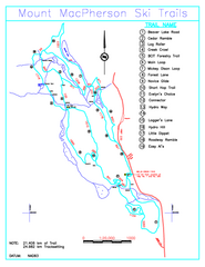
Revelstoke Nordic—Mount MacPherson Nordic Ski...
Trail map from Revelstoke Nordic—Mount MacPherson, which provides nordic skiing. This ski area...
118 miles away
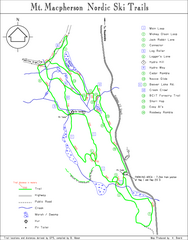
Mt Macpherson Nordic Ski Trail map
Nordic ski trail map of Mt Macpherson area near Revelstoke, BC. Shows trail names and distances in...
118 miles away
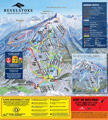
Revelstoke Ski Trail Map 2010-11
Ski trail map of Revelstoke Mountain Resort for the 2010-2011 season. Inset shows North Bowl area.
119 miles away
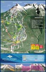
Revelstoke Ski Trail Map
Official ski trail map of Revelstoke ski area from the inaugural 2007-2008 season.
119 miles away
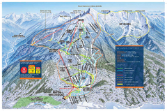
Revelstoke Ski Trail Map - Front side
Ski trail map of front side of Revelstoke ski area in Revelstoke, Canada from the 2008-2009 season.
119 miles away
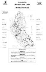
Mt. Macpherson Mountain Bike Trail Map
Mountain bike trail maps of Mt. Macpherson area and Mt. Mackenzie area right out of the town of...
119 miles away
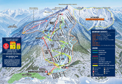
Revelstoke Ski Trail Map 2009-2010
Official ski trail map of Revelstoke Mountain Resort from the 2009-2010 season.
119 miles away
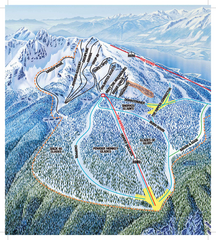
Revelstoke Ski Trail Map - North Bowl
Ski trail map of the North Bowl of Revelstoke ski area in Revelstoke, BC. From the 2008-2009...
119 miles away

Revelstoke City Map
Overview map of Revelstoke, BC. Shows Points of Interest and activity icons
122 miles away
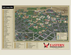
Eastern Washington University Campus Map
Campus map of Eastern Washington University in Cheney, Washington
123 miles away
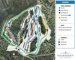
Fairmont Hot Springs Resort Ski Trail Map
Trail map from Fairmont Hot Springs Resort.
123 miles away
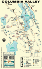
Columbia Valley Map
Easy to follow map and legend of this wilderness area.
127 miles away
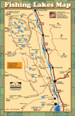
Radium Hot Springs Fishing Map
Beautiful map of the many fishing spots at this amazing site.
128 miles away
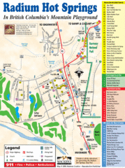
Radium Hot Springs Map
An easy to read map of this amazing hot springs area.
128 miles away
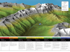
Island Lake Hiking Map
Hiking trail map of Island Lake area near Fernie, BC
128 miles away

