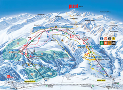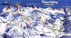
Arlberg – St Anton Ski Trail Map
Trail map from Arlberg – St Anton.
0 miles away
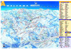
St Anton Region Ski map
Panoramic ski map covers St. Anton, St. Christoph, St. Jakob, Stuben, Zurs, Zug, Lech, and Oberlech...
3 miles away
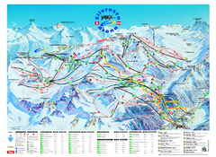
Ischgl – Galtur Ski Trail Map
Trail map from Ischgl – Galtur.
13 miles away
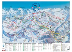
Ischgl – Galtur Ski Trail Map
Trail map from Ischgl – Galtur.
13 miles away
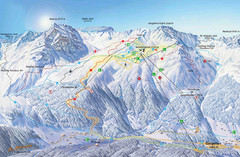
Montafon Ski Trail Map
Trail map from Montafon.
14 miles away
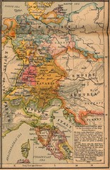
Germany Italy 1806 Map
Germany and Italy in 1806 at the dissolution of the Roman Empire
17 miles away
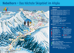
Oberstdorf Ski Trail Map
Trail map from Oberstdorf.
20 miles away
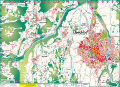
Oberstdorf City Map
City map of Oberstdorf, Germany and surrounding area. Shows buildings and ski lifts. In German.
20 miles away
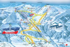
Bolsterlang Ski Trail Map
Trail map from Bolsterlang.
23 miles away
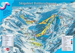
Balderschwang Balderschwang Ski Trail Map
Trail map from Balderschwang.
23 miles away
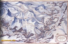
Davos-Klosters Ski Trail Map
Trail map from Davos-Klosters.
23 miles away
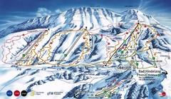
Oberjoch-Unterjoch Ski Trail Map
Trail map from Oberjoch.
25 miles away
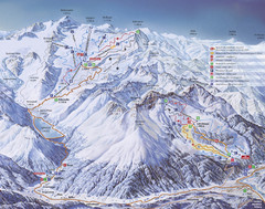
Kaunertal Ski Trail Map
Trail map from Kaunertal.
28 miles away
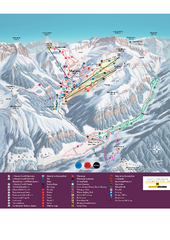
Malbun Ski Trail Map
Ski trail map of area surrounding Malbun, Liechtenstein. Also shows walking routes.
28 miles away
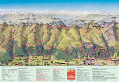
Davos Schatzalp Summer Trail Map
Trail map showing summer trails and lifts at Davos Schatzalp in Davos, Switzerland.
29 miles away
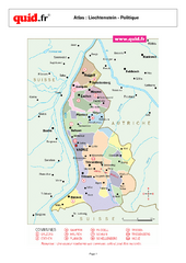
Liechtenstein Regional Map
Country map with detail of regional divides
30 miles away
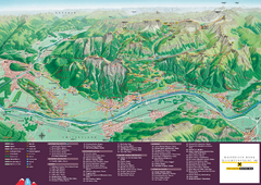
Liechtenstein Tourist Map
Tourist map of the country of Liechtenstein. Panoramic view shows all towns, trails, and mountains.
31 miles away
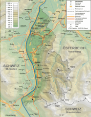
Liechtenstein topography Map
31 miles away
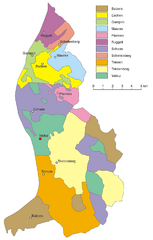
Liechtenstein Tourist Map
31 miles away
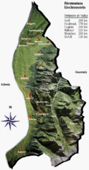
Liechtenstein Tourist Map
31 miles away
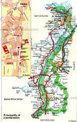
Liechtenstein Principality Map
31 miles away
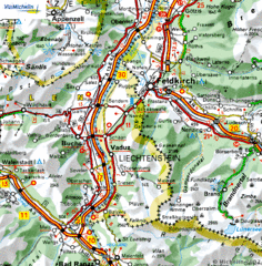
Liechtenstein road Map
31 miles away
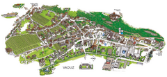
Vaduz Town Map
Tourist map of town of Vaduz, Liechtenstein. Panoramic view shows buildings and streets.
32 miles away
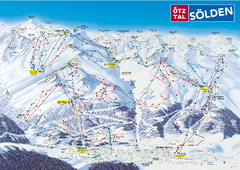
Otztal Ski Trail Map
Trail map from Otztal.
33 miles away
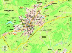
Lindenberg im Allgäu Map
Street map of Lindenberg
36 miles away
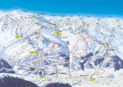
Solden Ski Trail Map
Ski trail map of the Solden ski area in the Tyrol region of Austria.
39 miles away
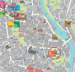
Kempten im Allgäu Tourist Map
Tourist street map of Kempten im Allgäu
41 miles away
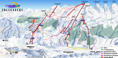
Toggenburg Ski Trail Map
Trail map from Toggenburg.
42 miles away

Sulden Trafoi Summer Hiking Map
Summer hiking route map of Sulden (Solda) Italy, Trafoi, Italy and Stelvio, Italy. Shows hiking...
43 miles away
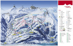
Flumserberg Ski Trail Map
Trail map from Flumserberg.
44 miles away
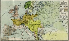
Extinction of France Map 1918
Shows pan-German scheme for the Extinction of France, 1918. As given in "Frankreich's...
44 miles away

Sulden Ski Trail Map
Ski trail map of Sulden (Solda), Italy in the Ortler Alps. Shows trails and lifts.
45 miles away
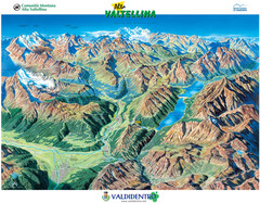
Valdidentro Alta Valtellina Summer Map
Panorama tourist map of the region of Valdidentro Alta Valtellina from Bormio, Italy to Livigno...
45 miles away
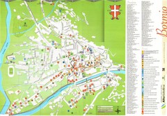
Bormio Tourist Map
Tourist map of town of Bormio, Italy. Legend of all streets and services.
46 miles away

St. Moritz Tourist Map
Tourist map of St. Moritz, Switzerland. Shows summer and winter points of interest.
47 miles away
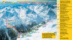
Pfelders Ski Trail Map
Trail map from Pfelders, which provides downhill and nordic skiing. This ski area has its own...
48 miles away
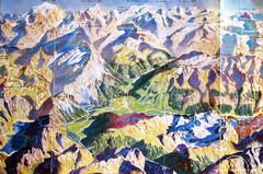
Bormio Panorama Map
Panorama tourist map of Bormio, Italy. Shows Ortler Alps in distance. From photo.
48 miles away
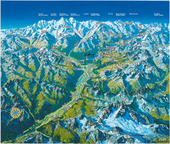
Engadin St. Moritz Region Summer Map
Summer panoramic tourist map of Engadin region of Switzerland. Includes St. Moritz, Piz Bernina...
48 miles away
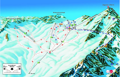
Garmisch Partenkirchen Ski Trail Map
Trail map from Garmisch Partenkirchen.
49 miles away


 Explore Maps
 Map Directory
