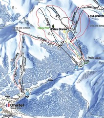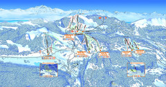
Les Rousses Ski Trail Map
Trail map from Les Rousses.
106 miles away
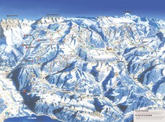
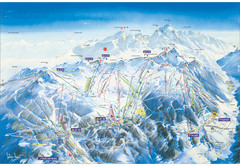
Portes du Soleil Ski Trail Map
Official ski map of the Portes du Soleil region. Winter 2007-2008 key figures: 278 ski-runs...
106 miles away
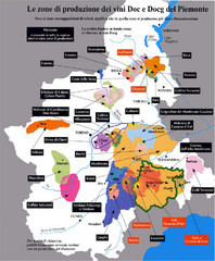
Piedmont Region Wine Map
Wine map of the Piedmont region in Italy. Shows production zones.
107 miles away
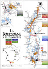
Burgandy Region Wine Districts Map
Shows wine districts of La Bourgogne region, France from Dijon to Macon.
110 miles away
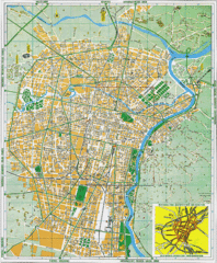
Torino Street Map
Street map of central Torino (Turin), Italy.
110 miles away
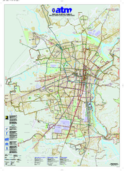
Torino Public Transit Map
Public transportation map of Torino (Turin), Italy
110 miles away
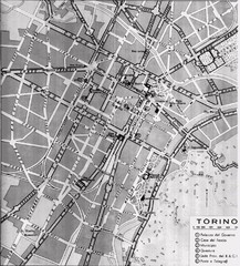
Turin Italy Map
Map of the city of Torino (Turin) from 1913 showing streets, parks and government buildings.
110 miles away
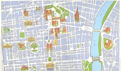
Torino centro Map
110 miles away

Haute Route Ski Tour Map - Verbier Variant
Ski tour topo route map of the European Alps' most famous alpine ski tour connecting two...
110 miles away
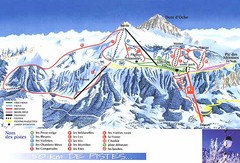
Thollon-les-Memises Ski Trail Map
Trail map from Thollon-les-Memises.
113 miles away
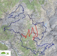
Verbier 60k Course Profile Map
Course Map and Elevation Profile for the Verbier Ultra Run 60k and 20k routes.
114 miles away
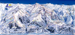
Verbier—Les quatre vallées (Nendaz...
Trail map from Verbier—Les quatre vallées (Nendaz, Veysonnaz), which provides downhill...
115 miles away
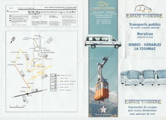
La Tzoumaz Public Transportation Map (French)
116 miles away
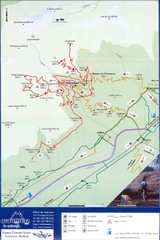
Ovronnaz Tourist Map
Tourist map of Ovronnaz, Switzerland. Shows biking routes, restaurants, and public transport.
117 miles away
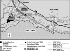
EPFL Lausanne Switzerland Map
Map of the EPFL University and bus routes from Lausanne to get there.
118 miles away
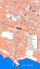
Lausanne Hotel Map
118 miles away
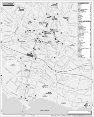
Lausanne Tourist Map
Tourist map of central Lausanne, Switzerland on the shore of Lake Geneva. Shows accommodation...
118 miles away
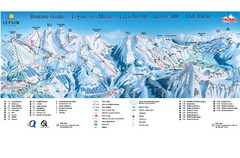
Leysin (Leysin, Les Mosses, La Lecherette) Ski...
Trail map from Leysin (Leysin, Les Mosses, La Lecherette), which provides downhill skiing.
119 miles away
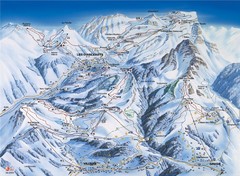
Villars-Gryon Ski Trail Map
Trail map from Villars-Gryon.
119 miles away
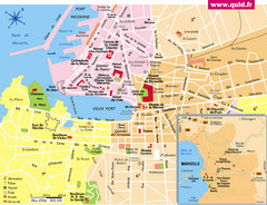
Marseille Tourist Map
Tourist map of central Marseille, France. Inset shows surrounding area. Shows points of interest.
119 miles away
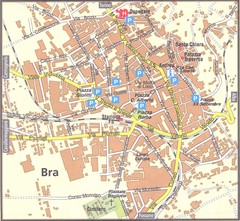
Bra Map
120 miles away
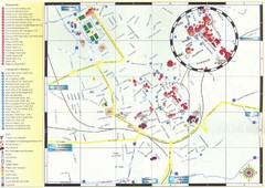
Bra Map
120 miles away
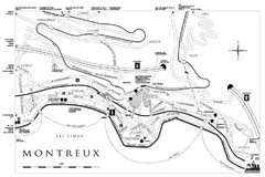
Montreux City Map
City map of Montreux, Switzerland on Lac Leman
121 miles away
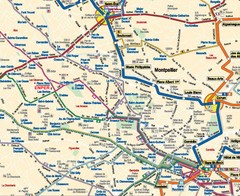
Montpellier City Tourist Map
Tourist map of Montpellier
121 miles away
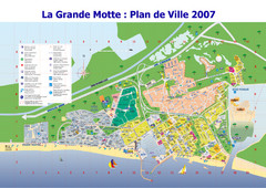
La Grande Motte Tourist Map
Tourist map of La Grande Motte, France. Shows beaches, hotels, and other points of interest.
121 miles away
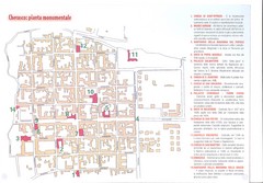
Cherasco Map
121 miles away
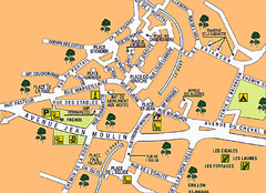
Signes Map
122 miles away
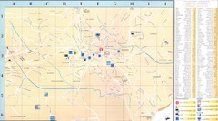
Vence - environ Map
122 miles away
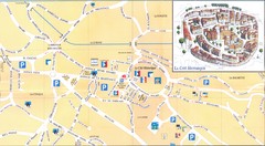
Vence - centre Map
122 miles away
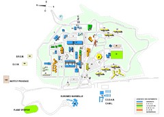
Luminy Campus Map
A map of the scientific campus of Luminy, Marsielle.
123 miles away
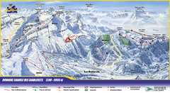
Les Diablerets Ski Trail Map
Trail map from Les Diablerets.
124 miles away
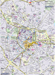
Montpellier Tourist Map
Tourist map of Montpellier, France. Shows points of interest.
125 miles away
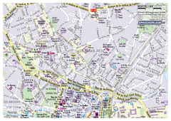
Montpellier Tourist Map
Tourist street map of Montpellier
125 miles away
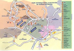
Sophia Antipolis Tourist Map
125 miles away
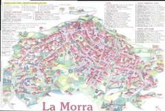
La Morra Map
125 miles away
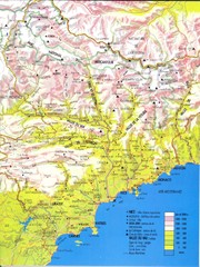
Cotes d'Azur - Alpes Maritimes Map
125 miles away

