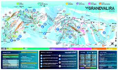
Grand Valira (Pas de la Casa-Grau Roig&mdash...
Trail map from Grand Valira (Pas de la Casa-Grau Roig—Soldeu—El Tarter), which provides...
283 miles away

Grandvalira Ski Map
Ski trail map of Grandvalira
283 miles away
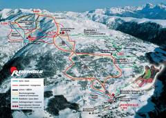
Reinswald Ski Trail Map
Trail map from Reinswald, which provides downhill skiing. It has 4 lifts. This ski area has its own...
283 miles away
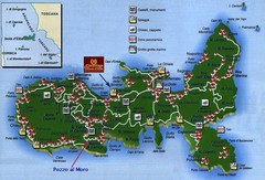
Elba Tourist Map
Tourist map of the island of Elba, Italy. Shows points of interest.
284 miles away
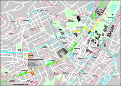
Stuttgart Street Map
Street map of Stuttgart, Germany. Show major buildings and public transport routes.
284 miles away
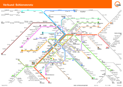
Stuttgart, Nahverkehr Map
284 miles away
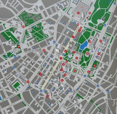
Stuttgart Tourist Map
Tourist street map of Stuttgart center
284 miles away
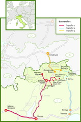
Northern Italy Bustransfer Map
284 miles away
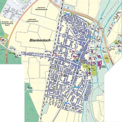
Blankenloch Map
Street map of town of Blankenloch
284 miles away
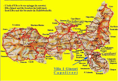
Elba topographic Map
284 miles away
Gerhardsbrunn Map
285 miles away
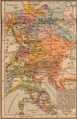
Germany Italy 1803 Map
Germany and Italy in 1803 after the Principle Decree of the Imperial Deputation
285 miles away
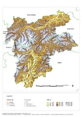
South Tyrol Elevation Map
Physical relief map of the South Tyrol region in present-day borders of Italy and Austria.
285 miles away
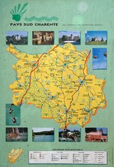
Charente Region Tourist Map
Tourist map of Charente region in southern France. Scanned.
285 miles away
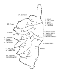
Corsica River Map
286 miles away
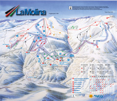
Alp 2500 (La Molina, Masella) Ski Trail Map
Trail map from Alp 2500 (La Molina, Masella).
286 miles away
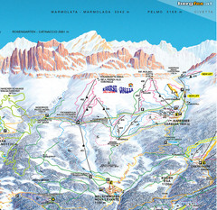
Welschnofen—Karersee (Carezza) Ski Trail Map
Trail map from Welschnofen—Karersee (Carezza), which provides downhill and nordic skiing. This...
286 miles away
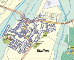
Staffort Map
Street map of town of Staffort
287 miles away
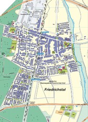
Friedrichstal Map
Street map of town of Friedrichstal
287 miles away
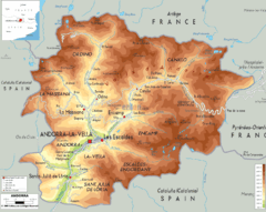
Andorra - Physical Map
287 miles away
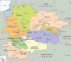
Andorra: political Map
287 miles away

Andorra cities Map
287 miles away
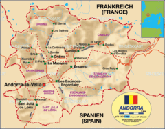
Andorra rough map
287 miles away
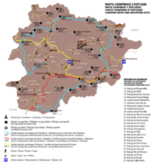
Andorra Long Hiking Routes, Mountain Huts, and...
Shows long hiking trails (grande randonee), mountain hits (refuges), and camping sites in Andorra
287 miles away
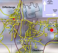
Differdange Bus Map
287 miles away
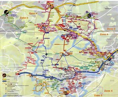
Orsay Bus Map
287 miles away

Wuerttembergische Landeskirche Map
Karte der Evang. Landeskirche in Wuerttemberg, The Evangelical-Lutheran Church in Wuerttemberg
288 miles away
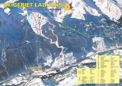
Ladurns Ski Trail Map
Trail map from Ladurns, which provides downhill skiing. This ski area has its own website.
288 miles away
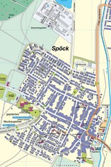
Spoeck Map
Street map of town of Spoeck
288 miles away

Andorra Map
Map of country between France and Spain
288 miles away
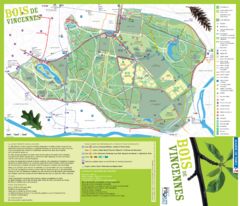
Bois de Vincennes Park Map
Park map of Bois de Vincennes in Paris, France. Park features the Château de Vincennes and...
288 miles away
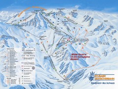
Stubaital Ski Trail Map
Trail map from Stubaital.
288 miles away
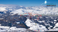
Rosskopf (Vipiteno) Ski Trail Map
Trail map from Rosskopf (Vipiteno), which provides downhill skiing. It has 4 lifts. This ski area...
288 miles away
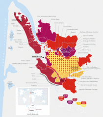
Bordeaux Region Wine Districts Map
Wine map of districts in the Bordeaux region of France. In French.
289 miles away
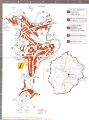
San Gimignano Map
289 miles away
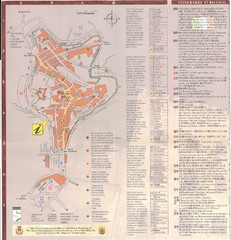
San Gimignano Map
289 miles away


