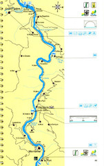
Lot River Canoe Route Map
249 miles away

Pistoia Map
249 miles away
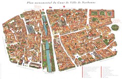
Narbonne Map
249 miles away
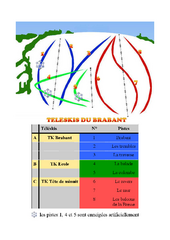
Brabant Ski Trail Map
Trail map from Brabant.
249 miles away
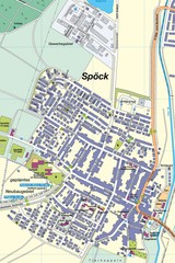
Spoeck Map
Street map of town of Spoeck
250 miles away
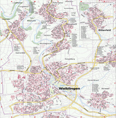
Waiblingen Map
City map of Waiblingen and surrounding region
250 miles away
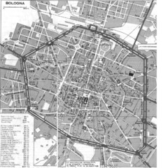
Bologna Italy City Map
Street level map of Bologna, Italy city center with some buildings noted.
250 miles away
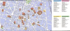
Bologna centro Map
250 miles away
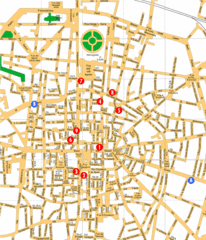
Bologna Hotel Map
250 miles away
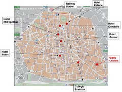
Bologna Tourist Map
250 miles away
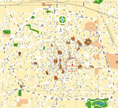
Bologna Tourist Map
Tourist map of Bologna, Italy. Shows 3D drawings of landmark buildings.
250 miles away
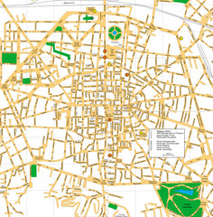
Bologna Italy City Center Street Map
Detailed Street map of Bologna's city centre with a few hotels and key points of interest...
250 miles away
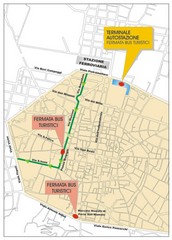
Tourist Bus Map
250 miles away
Gerhardsbrunn Map
251 miles away
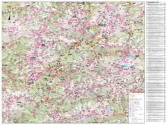
Val di Fassa Hiking Map
Hiking trail map of the Val di Fassa, Italy region. Highly detailed.
252 miles away
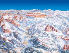
Val Gardena Ski Trail Map
Trail map from Val Gardena.
252 miles away
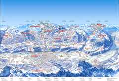
Innsbruck Region Ski Map
Shows ski regions around Innsbruck, Austria
253 miles away

Montopoli Val d'Arno Map
253 miles away
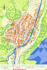
Mittenwald Tourist Map
Tourist street map
253 miles away
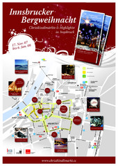
Innsbruck Christmas Markets Map
Christmas market map of Innsbruck, Austria.
254 miles away
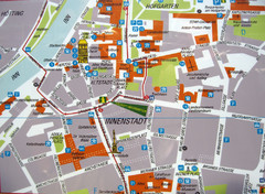
Innsbruck Tourist Map
Tourist map of inner Innsbruck, Austria. Photo of outdoor map.
254 miles away
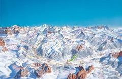
Canazei Campitello Ski Trail Map
Ski trail map of Canazei-Campitello area in the Italian Dolomites.
254 miles away
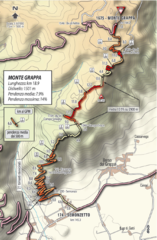
Monte Grappa Giro Stage 14 Cycling Route Map
Cycling route of the climb up Monte Grappa in Stage 14 of the 2010 Giro d'Italia. Averages 8...
254 miles away
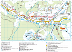
Santa Cristina Tourist Map
Tourist map of town of Santa Cristina Val Gardena, Italy. Santa Cristina lies on the sunny side of...
254 miles away
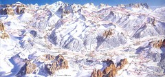
Campitello di Fassa Ski Map
254 miles away
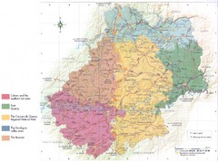
Lot region Map
255 miles away
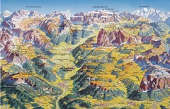
Val Gardena Summer Trail Map
Summer panoramic trail map of the Val Gardena, Italy area in the heart of the Dolomite Mountains...
255 miles away

Vinci Map
255 miles away
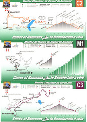
Beaufort Cycling Route Map
Three routes drawn and elevation gains shown for each cycling route in Beaufort, France's...
255 miles away

San Miniato Map
255 miles away
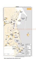
Bastia Tourist Map
Tourist map of Bastia, France. Shows accommodations, bars, and restaurants.
256 miles away
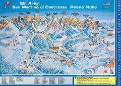
San Martino di Cartozza Ski Trail Map
Ski trail map of San Martino di Cartozza, Italy
256 miles away
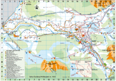
Selva Gardena Tourist Map
Tourist map of Selva Gardena, Italy, a popular skiing and hiking destination in the Italian Alps.
256 miles away

San Miniato Map
256 miles away
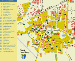
Landsberg Tourist Map
tourist map of town of Landsberg
256 miles away
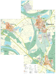
Philippsburg Map
Street map of Philippsburg
257 miles away
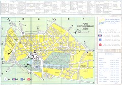
Fontainebleau Avon Map
257 miles away
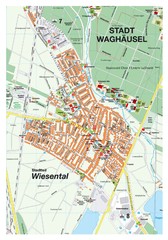
Wiesental Map
Street map of town of Wiesental
257 miles away
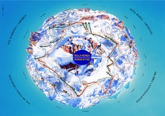
Sella Ronda Ski Tour Map
Shows ski mountaineering tour of Sella Ronda, a circular ski route leading around the mighty Sella...
258 miles away
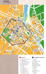
Prato Tourist Map
Tourist map of center of the city of Prato, Italy. Shows points of interest.
259 miles away

