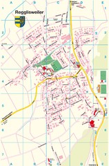
Regglisweiler Map
Map of town of Regglisweiler
237 miles away
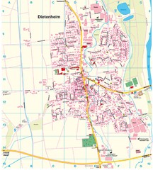
Dietenheim Map
Street map of Dietenheim
238 miles away
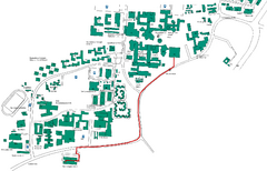
Universität Stuttgart Campus Map
In Stuttgart, Germany
239 miles away
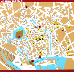
Livorno Tourist Map
Tourist map of historical center of Livorno, Italy. Shows tourist points of interest.
240 miles away
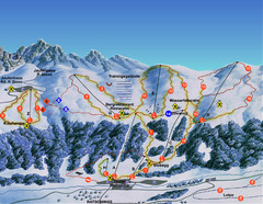
Ratschings / Racines Ski Trail Map
Trail map from Ratschings / Racines.
240 miles away
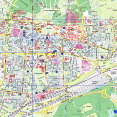
Karlsruhe Tourist Map
Tourist map of Karlsruhe
241 miles away
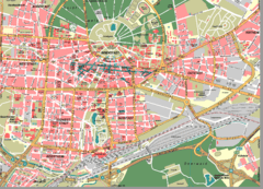
Karlsruhe Map
City street map of Karlsruhe
241 miles away
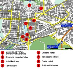
Karlsruhe Hotel Map
241 miles away
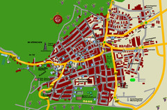
Bad Bergzabern Tourist Map
Tourist street map of Bad Bergzabern
241 miles away
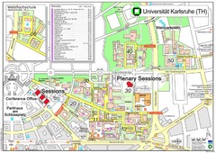
Karlsruhe University Campus Map
Campus map of Universität Karlsruhe, the oldest Technical University in Germany, founded in...
242 miles away
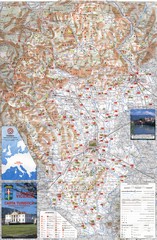
Vicenza Tourist Map
Tourist map of region around Vicenza, Italy. Shows points of interest. In Italian. Scanned.
242 miles away
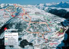
Reinswald Ski Trail Map
Trail map from Reinswald, which provides downhill skiing. It has 4 lifts. This ski area has its own...
242 miles away
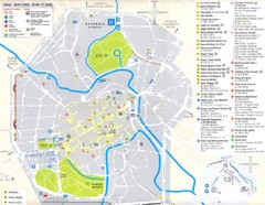
Vicenza Map
242 miles away
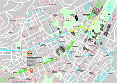
Stuttgart Street Map
Street map of Stuttgart, Germany. Show major buildings and public transport routes.
243 miles away
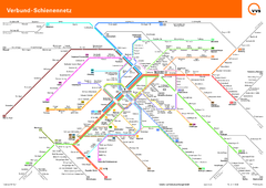
Stuttgart, Nahverkehr Map
243 miles away
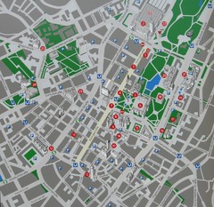
Stuttgart Tourist Map
Tourist street map of Stuttgart center
243 miles away
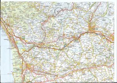
Northwest Tuscany Area Map
Scan of road map of northwestern Tuscany showing Pisa, Lucca, and Pistoia areas.
243 miles away
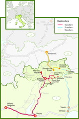
Northern Italy Bustransfer Map
243 miles away
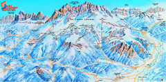
Latemar (Val di Fiemme, Obereggen) Ski Center...
Trail map from Latemar (Val di Fiemme, Obereggen), which provides downhill and nordic skiing. This...
243 miles away
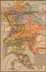
Germany Italy 1803 Map
Germany and Italy in 1803 after the Principle Decree of the Imperial Deputation
243 miles away
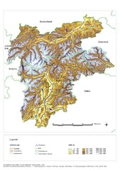
South Tyrol Elevation Map
Physical relief map of the South Tyrol region in present-day borders of Italy and Austria.
244 miles away
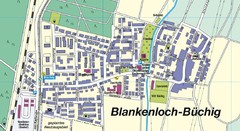
Buechig Map
Street map of town of Buechig
245 miles away

Wuerttembergische Landeskirche Map
Karte der Evang. Landeskirche in Wuerttemberg, The Evangelical-Lutheran Church in Wuerttemberg
245 miles away
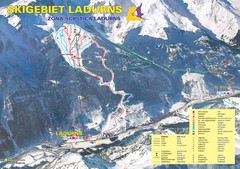
Ladurns Ski Trail Map
Trail map from Ladurns, which provides downhill skiing. This ski area has its own website.
246 miles away
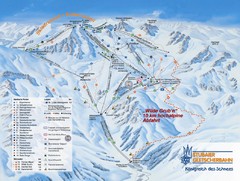
Stubaital Ski Trail Map
Trail map from Stubaital.
246 miles away
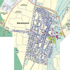
Blankenloch Map
Street map of town of Blankenloch
246 miles away
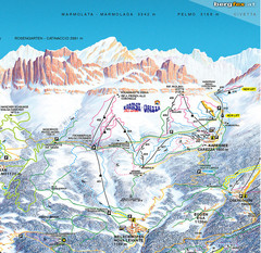
Welschnofen—Karersee (Carezza) Ski Trail Map
Trail map from Welschnofen—Karersee (Carezza), which provides downhill and nordic skiing. This...
247 miles away
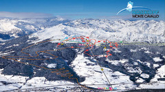
Rosskopf (Vipiteno) Ski Trail Map
Trail map from Rosskopf (Vipiteno), which provides downhill skiing. It has 4 lifts. This ski area...
247 miles away
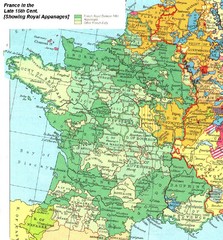
France Late 15th Century Map
France in the Late 15th Century (showing Royal Appanages)
247 miles away
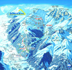
Fulpmes Ski Trail Map
Trail map of Fulpmes ski area in the Stubai Alps near Fulpmes, Austria. Schlick 2000
247 miles away
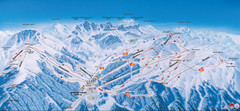
Axamer Lizum Ski Trail Map
Trail map from Axamer Lizum.
248 miles away
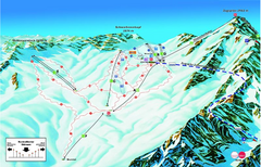
Garmisch Partenkirchen Ski Trail Map
Trail map from Garmisch Partenkirchen.
248 miles away
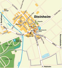
Ulm Steinheim Map
Street map of town of Ulm Steinheim
248 miles away
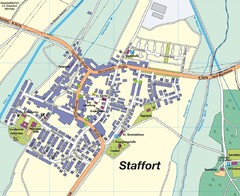
Staffort Map
Street map of town of Staffort
248 miles away
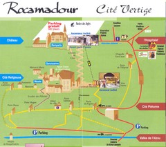
Rocamadour Map
248 miles away
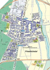
Friedrichstal Map
Street map of town of Friedrichstal
249 miles away

