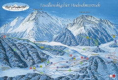
Berchtesgadener Land Ski Trail Map
Trail map from Berchtesgadener Land.
72 miles away
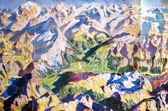
Bormio Panorama Map
Panorama tourist map of Bormio, Italy. Shows Ortler Alps in distance. From photo.
76 miles away
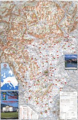
Vicenza Tourist Map
Tourist map of region around Vicenza, Italy. Shows points of interest. In Italian. Scanned.
77 miles away
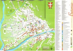
Bormio Tourist Map
Tourist map of town of Bormio, Italy. Legend of all streets and services.
78 miles away
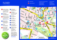
Bad Aibling Tourist Map
Tourist parking map of downtown Bad Aibling
78 miles away
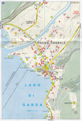
Nago-Torbole Map
78 miles away
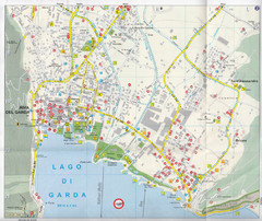
Riva del Garda Map
79 miles away
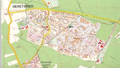
Geretsried Map
Street map of Geretsried
80 miles away
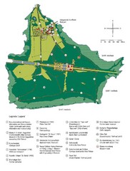
Chiemsee Island Germany Tourist Map
Tourist map of the island showing all the tourist sites.
80 miles away
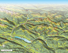
Nockberge National Park Map
Outline map of Nockberge National Park, Austria in the summer. Shows surrounding towns.
81 miles away
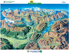
Valdidentro Alta Valtellina Summer Map
Panorama tourist map of the region of Valdidentro Alta Valtellina from Bormio, Italy to Livigno...
83 miles away
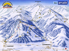
Ski Amade Map
84 miles away
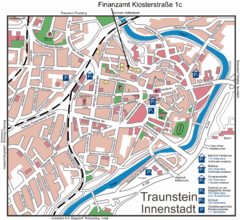
Traunstein Map
Street map of Traunstein
84 miles away
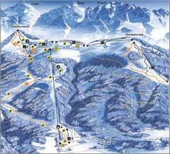
Arnoldstein—Dreiländereck Ski Trail Map
Trail map from Arnoldstein—Dreiländereck, which provides downhill skiing. It has 8 lifts. This...
84 miles away
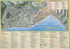
Limone sul garda Map
85 miles away
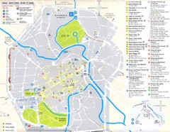
Vicenza Map
85 miles away
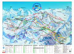
Ischgl – Galtur Ski Trail Map
Trail map from Ischgl – Galtur.
87 miles away
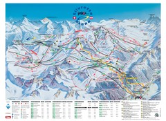
Ischgl – Galtur Ski Trail Map
Trail map from Ischgl – Galtur.
87 miles away
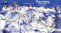
Arlberg – St Anton Ski Trail Map
Trail map from Arlberg – St Anton.
87 miles away
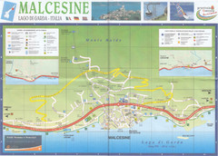
Malcesine Map
87 miles away
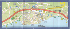
Malcesine Map
87 miles away
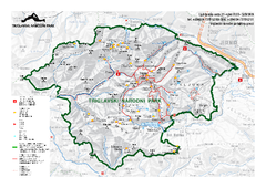
Triglav National Park Map
Triglav National Park is the only Slovenian national park. The park was named after Triglav, the...
88 miles away
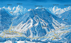
Kranjska Gora Ski Trail Map
Ski trail map of Kranjska Gora ski area.
88 miles away
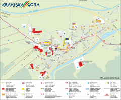
Kranjska Gora town map
Blurb from town website: The Zgornjesavska Valley is one of the most breathtaking alpine valleys...
88 miles away
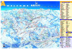
St Anton Region Ski map
Panoramic ski map covers St. Anton, St. Christoph, St. Jakob, Stuben, Zurs, Zug, Lech, and Oberlech...
89 miles away
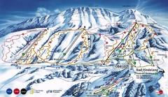
Oberjoch-Unterjoch Ski Trail Map
Trail map from Oberjoch.
90 miles away
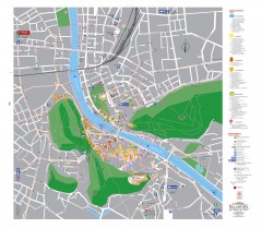
Salzburg Tourist Map
Tourist map of Salzburg, Austria. In German.
90 miles away
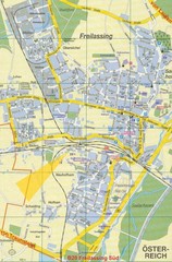
Freilassing Map
Street map of Freilassing
90 miles away
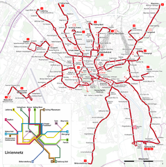
Salzburg Trolleybus Map
90 miles away
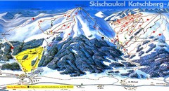
Lungau Ski Trail Map
Trail map from Lungau.
91 miles away
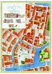
the old jewish ghetto of venezia Map
a bird's eye view of the ghetto of venezia.
91 miles away
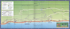
Brenzone Map
91 miles away
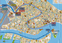
Venice Tourist Map
91 miles away

bibione Map
92 miles away
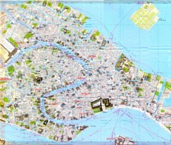
Venice Street Map
Detailed street map of Venice, Italy showing major landmarks, canals, and buildings.
92 miles away
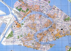
Venice Italy Tourist Map
Map of Venice, Italy showing tourist sites, plazas and churches.
92 miles away
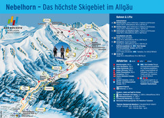
Oberstdorf Ski Trail Map
Trail map from Oberstdorf.
92 miles away
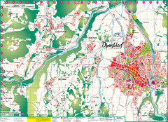
Oberstdorf City Map
City map of Oberstdorf, Germany and surrounding area. Shows buildings and ski lifts. In German.
92 miles away
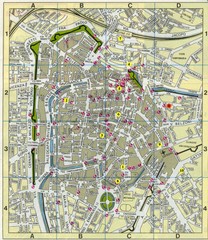
Padova Street Map
Street map of central Padova, Italy. Shows public phones.
92 miles away

