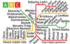
Prague Metro Map 2008 (for small displays)
Small version of Prague metro map of mobile phones, etc.
258 miles away
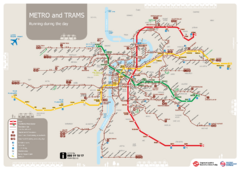
Prague Public Transport Map
Public transportation in Prague
258 miles away
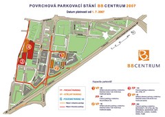
BB Centrum Map (Czech)
BB Centrum is one of the largest and most successful developments in the Czech Republic. This new...
258 miles away
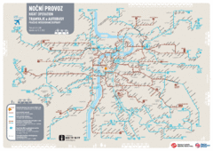
Tram Night Operation Map
258 miles away
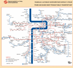
Prague Night Public Bus Tram Map
258 miles away
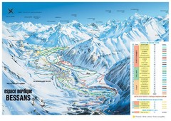
Bessans Ski Trail Map
Trail map from Bessans, which provides downhill and nordic skiing.
258 miles away
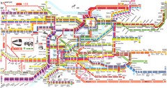
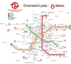
Prague Metro Map
Guide to Prague public transportation
258 miles away
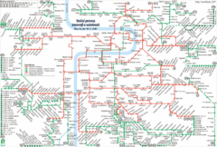
Prague Night Tram and Bus Lines Map
258 miles away
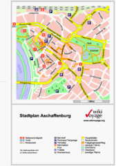
Aschaffenburg Tourist Map
Tourist street map of Aschaffenburg
258 miles away
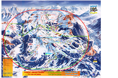
Les Carroz Ski Trail Map
Trail map from Les Carroz.
259 miles away
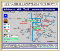
Prague Ruzyne Airport Night Public Transportation...
259 miles away

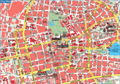
Prague Downtown Metro Map
Guide to public transportation in Prague
259 miles away
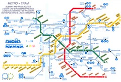
Prague (Praha) Metro Map
Guide to Prague Metro
259 miles away
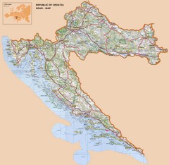
Croatia Road Map
259 miles away
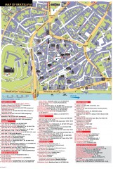
Bratislava Tourist Map
Tourist map of old town Bratislava, Slovakia shows points of interest including museums, galleries...
260 miles away

Saluzzo Map
260 miles away
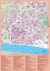
Bratislava Guide Map
260 miles away
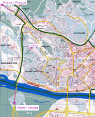
Bratislava Map
Bratislava, Slovakia detail map of streets, train routes and tourist areas.
260 miles away
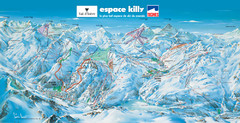
Espace Killy (Val D’Isere, Tignes) Ski Trail Map
Trail map from Espace Killy (Val D’Isere, Tignes).
260 miles away
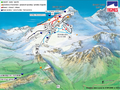
Espace Killy (Val D’Isere, Tignes) Tignes...
Trail map from Espace Killy (Val D’Isere, Tignes).
260 miles away
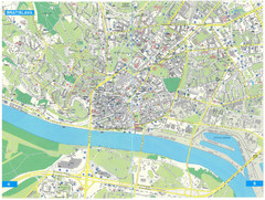
Bratislava Tourist Map
Tourist map of Bratislava, Slovakia. Shows points of interest.
260 miles away
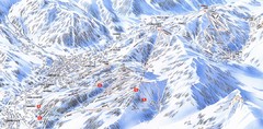
Combloux Trail Map
Ski trail map
261 miles away
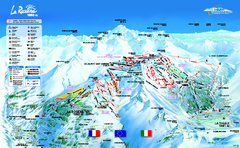
La Rosière Ski Trail Map
Trail map from La Rosière.
261 miles away
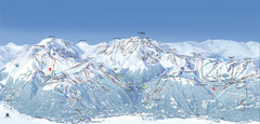
Paradiski Ski Trail Map
Official ski trail map of Paradiski ski areas from the 2007-2008 season. Includes Les Arcs, Peisey...
261 miles away
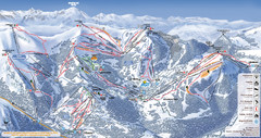
Les Gets Ski Resort Map
Ski Resort map for Les Gets in France. Map shows runs, lifts, mountains, elevations and amenities.
261 miles away
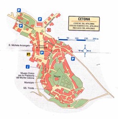
Cetona Map
261 miles away

Spello Map
261 miles away
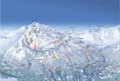
Les Arcs Ski Trail Map
Official ski trail map of Les Arcs ski area from the 2007-2008 season.
261 miles away
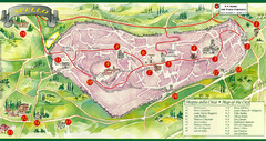
Spello Tourist Map
Tourist map of city of Spello, Italy. Shows points of interest. In English and Italian.
261 miles away
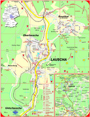
Lauscha Map
Street map of town of Lauscha and surrounding area
262 miles away
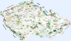
Czech Republic Castle map
Castle map of the Czech Republic
262 miles away
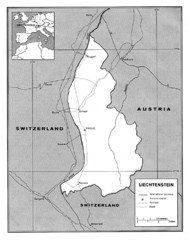
Liechtenstein Tourist Map
262 miles away
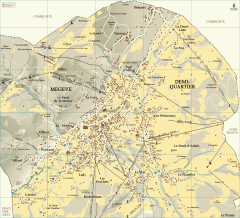
Megeve Village Map
Detailed map of Megève village, France shows roads, building outlines, and in-town ski lifts.
262 miles away
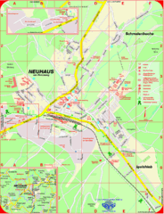
Neuhaus am Rennweg Map
Street map of Neuhaus am Rennweg
263 miles away
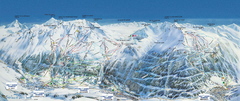
Val Cénis Ski Trail Map
Trail map from Val Cénis.
264 miles away
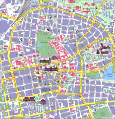
Darmstadt Tourist Map
Tourist street map of Darmstadt
265 miles away
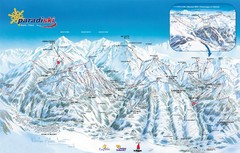
Paradiski Paradi Ski Trail Map
Trail map from Paradiski.
265 miles away
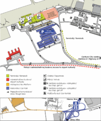
Bratislava Airport Map
265 miles away

