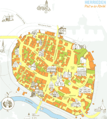
Herrieden Map
Street map of town center of Herrieden
185 miles away
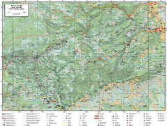
Samobor Region Cycling Route Map
Cycling route map for region west of Samobor, Croatia. Shows all routes in km
186 miles away
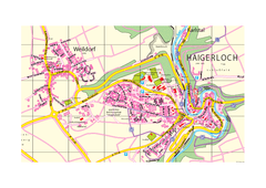
Haigerloch & Weildorf Map
Map of Haigerloch / Weildorf area
186 miles away
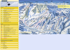
Sörenberg Ski Trail Map
Trail map from Sörenberg.
186 miles away

Santarcangelo di Romagna Map
187 miles away
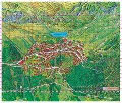
Bettmeralp Summer Map
Summer tourist map of town of Bettmeralp, Switzerland. With reference grid.
187 miles away
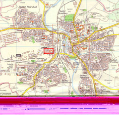
Crailsheim Map
Street map of Crailsheim region
187 miles away

Rimini Map
188 miles away

Rimini Map
188 miles away
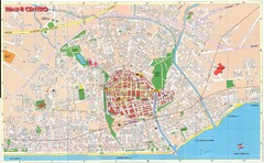
Rimini centro Map
188 miles away
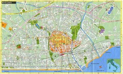
Rimini Italy Tourist Map
Tourist map of Rimini Italy. Shows transit, buildings of historical interest and churches.
188 miles away
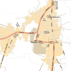
Gattinara Map
189 miles away
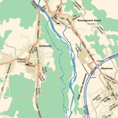
Gattinara Map
189 miles away
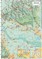
Sulta and Sava Croatia Cycling Route Map
the trails on this map are through picturesque hills to the confluence of the Sutla and Sava Rivers...
189 miles away

Rimini sud Map
189 miles away
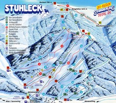
Stuhleck – Spital am Semmering Ski Trail Map
Trail map from Stuhleck – Spital am Semmering, which provides downhill skiing. This ski area...
189 miles away
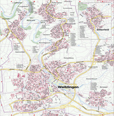
Waiblingen Map
City map of Waiblingen and surrounding region
190 miles away
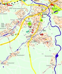
Stein Map
Street map of Stein and surrounding region
190 miles away
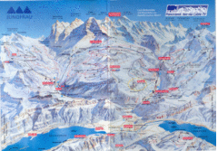
Jungfrau Map
190 miles away
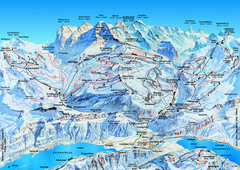
Jungfrauregion (Mürren, Wengen, Grindelwald) Ski...
Trail map from Jungfrauregion (Mürren, Wengen, Grindelwald), which provides downhill skiing.
191 miles away
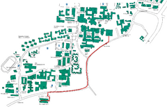
Universität Stuttgart Campus Map
In Stuttgart, Germany
191 miles away
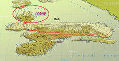
Rab Island Map
Shows beaches on Rab Island, Croatia
191 miles away
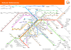
Stuttgart, Nahverkehr Map
191 miles away
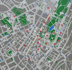
Stuttgart Tourist Map
Tourist street map of Stuttgart center
191 miles away
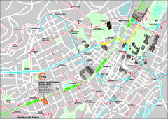
Stuttgart Street Map
Street map of Stuttgart, Germany. Show major buildings and public transport routes.
191 miles away
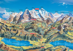
Jungfrau Grindelwald region summer map
This map is a summer panorama looking south from Interlaken toward the Jungfrau, Eiger, and the...
191 miles away
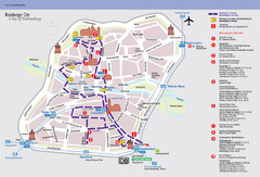
Nuremberg Tourist Map
Tourist map of old city Nuremberg, Germany. Shows tourist points of interest and a tourist walking...
192 miles away
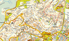
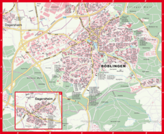
Boblingen Street Map
Street map of Boblingen center
192 miles away
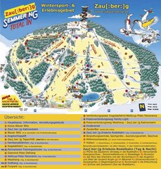
Semmering Ski Trail Map
Trail map from Semmering.
192 miles away
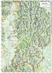
Villages and Sutla River Valley Bike Route Map
Bike routes and trails through the villages to the Sutla River Valley in Croatia. Note: The map...
192 miles away
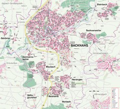
Backnang Region Map
Street map of Backnang and surrounding area
193 miles away
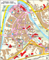
Backnang City Map
Street map of Backnang city center
193 miles away
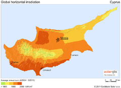
Solar Radiation Map of Cyprus
Solar Radiation Map Based on high resolution Solar Radiation Database: SolarGIS. On the Solar Map...
193 miles away
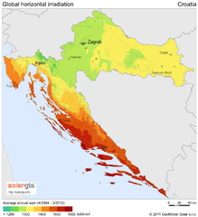
Solar Radiation Map of Croatia
Solar Radiation Map Based on high resolution Solar Radiation Database: SolarGIS. On the Solar Map...
193 miles away
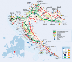
Coratia Tourist Map
Map of Croatia showing roads, international border crossings, parks, airports and ferrys.
193 miles away
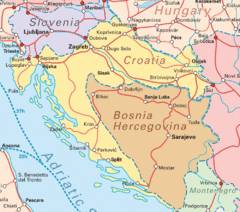
Interrail Routes for Croatia Map
Interrail railway routes for Croatia, Bosnia Hercegovina, Slovenia, and Hungary.
193 miles away
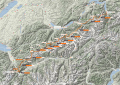
Swiss Alps Trail Map
Around Interlaken, Switzerland.
195 miles away

