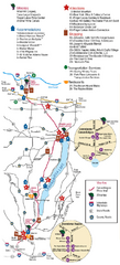
Canadaigua Wine Trail Map
Map of the Canadaigua Wine Map in Canadaigua, New York. Shows all wineries and vineyards in the...
339 miles away
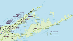
Long Island Wineries Map
Map of LIWC member wineries offering wine tastings to the public.
339 miles away
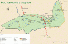
Gaspesie National Park Map - Summer
Official SEPAQ map of Gaspesie National Park in the Gaspe Peninsula, Quebec. Show trails, huts...
339 miles away
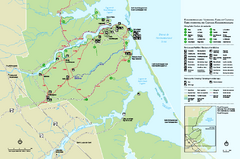
Kouchibouguac National Park Map
Official park map of Kouchibouguac National Park, New Brunswick. Shows hiking trails, services...
339 miles away
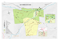
Salt Springs State Park map
Detailed recreation map of Salt Spring State Park in Pennsylvania.
339 miles away

Brighton-Township, Ontario Map
340 miles away
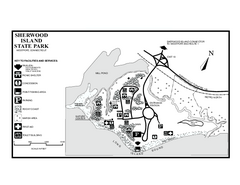
Sherwood Island State Park map
Trail and campground map of Sherwood Island State Park in Connecticut.
340 miles away
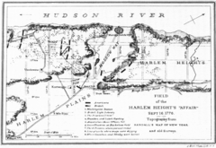
Harlem Hieghts Affair Map
Topography of the field during the battle on Sept 16 1776
341 miles away
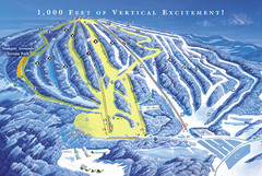
Elk Mountain Ski Trail Map
Trail map from Elk Mountain.
342 miles away
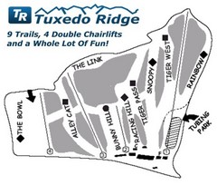
Tuxedo Ridge Ski Trail Map
Trail map from Tuxedo Ridge.
343 miles away
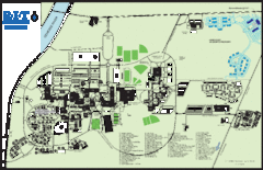
Rochester Institute of Technology Campus Map
Map of RIT campus.
344 miles away
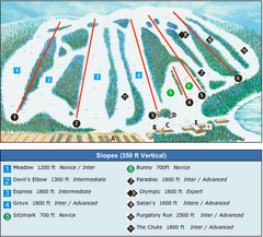
Devil’s Elbow Ski Trail Map
Trail map from Devil’s Elbow, which provides downhill skiing. This ski area has its own website.
344 miles away
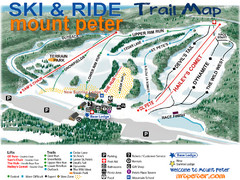
Mt. Peter Ski Area Ski Trail Map
Trail map from Mt. Peter Ski Area.
344 miles away

Ski Big Bear Ski Trail Map
Trail map from Ski Big Bear.
345 miles away
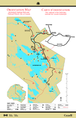
Kejimkujik National Park Map
Official Parks Canada map of Kejimkujik National Park, Nova Scotia. Shows lakes, trails, campsites...
345 miles away
Appalachian National Scenic Trail Map
Scenic trail Maine to Georgia
347 miles away

Bristol Mountain Ski Resort Ski Trail Map
Trail map from Bristol Mountain Ski Resort.
348 miles away
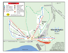
Hidden Valley Highlands Ski Trail Map
Trail map from Hidden Valley Highlands, which provides downhill skiing. This ski area has its own...
349 miles away
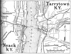
Antique map of Nyack and Tarrytown from 1917
Map of Nyack and Tarrytown, NY from Automobile Blue Book, 1917, Vol. 3
349 miles away

Oshawa Ski Club Ski Trail Map
Trail map from Oshawa Ski Club, which provides downhill skiing. This ski area has its own website.
349 miles away
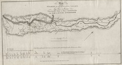
Wyoming and Lackawanna Valleys Map
Railbed from the coal mine at Carbondale to the canal on the Lackawaxen River. Historical map.
350 miles away

Urban Neighborhood Map: Long Island Map
This Urban Neighborhood Poster of Long Island is a modern twist on traditional maps. The typography...
350 miles away

Hidden Valley Ski Trail Map
Trail map from Hidden Valley.
352 miles away
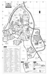
Stony Brook University Map
352 miles away

Tanglwood Ski Area Ski Trail Map
Trail map from Tanglwood Ski Area, which provides downhill, night, and terrain park skiing. It has...
352 miles away

Mountain Creek South Ski Trail Map
Trail map from Mountain Creek.
352 miles away
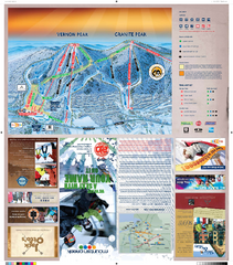
Mountain Creek North Ski Trail Map
Trail map from Mountain Creek.
352 miles away
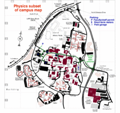
University of New York at Stony Brook Campus Map
353 miles away
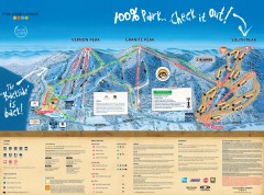
Mountain Creek Ski Trail Map
Official ski trail map of Mountain Creek ski area from the 2007-2008 season. (formerly Vernon...
353 miles away
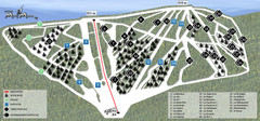
Ski Mont Miller Map
354 miles away
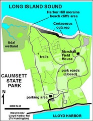
Caumsett State Park Map
Park map of Caumsett State Park on Long Island Sound, New York
354 miles away
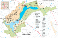
Lackawanna State Park Map
Detailed map of Lackawanna State Park in Pennsylvania.
355 miles away

Hunt Hollow Ski Trail Map
Trail map from Hunt Hollow.
356 miles away

Digital Elevation Model (DEM) of Conesus Lake Map
Digital Elevation Model (DEM) of Conesus Lake Map created in ARC Gis
357 miles away
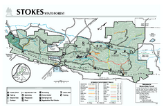
Stokes State Forest map
Trail map of Stokes State Park in New Jersey.
357 miles away
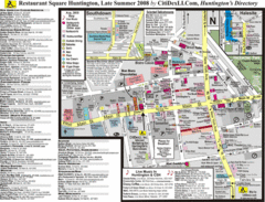
Huntington, New York Restaurant Map
358 miles away
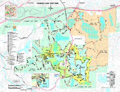
Promised Land State Park map
Detailed recreation map for Promised Land State Park in Pennsylvania
358 miles away
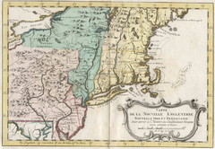
1773 New England Map
French map of New England
359 miles away
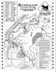
Buckwallow Trail Map
Biking trail map for Buckwallow Cycling Center
360 miles away


