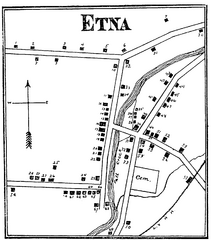
Etna 1897 City Map
Key to the Map of Etna (1897) 1. Mrs. C. Turner. 38. Blacksmith Shop. 2. J. T. Primrose. 39. Houtz...
324 miles away

Hammonasset Beach State Park map
Trail map for Hammonasset Beach State Park in Connecticut.
324 miles away

Hammonasset Beach State Park campground map
Campground map of Hammonasset State Park in Connecticut.
324 miles away
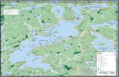
Kennisis Lakes Map
Panoramic topo map of Kennisis Lakes region
325 miles away
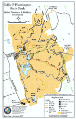
Collis P. Huntington State Park map
Trail map of Collis P. Huntington State Park in Connecticut
325 miles away
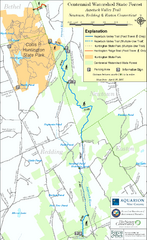
Centennial Watershed State Forest trail map
Trail map of Centennial Watershed State Forest in Connecticut
325 miles away
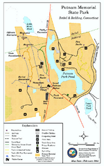
Putnam Memorial State Park map
Trail map for Putnal Memorial State Park in Connecticut,
325 miles away
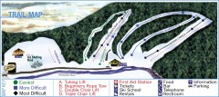
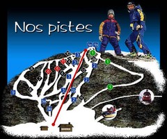
Holiday Mountain Ski Trail Map
Official ski trail map of Holiday Mountain ski area
326 miles away
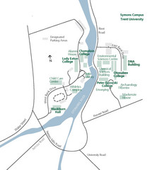
Trent University Campus Map
Campus map of the Symons Campus at Trent University in
327 miles away
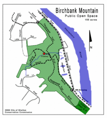
Birchbank Park Map
Several miles of moderately difficult trails along the Housatonic River bluff, including the...
327 miles away
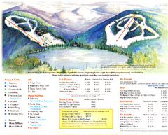
Mount Tone Ski Trail Map
Trail map from Mount Tone.
328 miles away
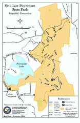
Seth Low Pierrepont State Park Reserve map
Trail map of Seth Low Pierreport State Park in Connecticut.
328 miles away
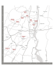
Shawangunk Wine Trail Map
Map of the Shawangunk Wine Trail on the Hudson River in New York. Shows all vineyards and wineries...
328 miles away
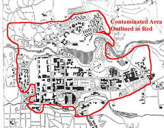
Map of Water contamination at Cornell University...
329 miles away
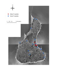
Native and Exotic Phragmites on Block Island Map
329 miles away
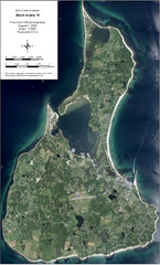
Block Island Aerial Map
Aerial map of Block Island, RI (New Shoreham, RI). True color orthophotography from August 2006.
329 miles away
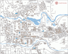
Cornell Campus Map
Map of Cornell University's Ithaca campus
329 miles away
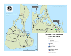
Block Island Road Map
Shows roads and major facilities on Block Island, RI (New Shoreham)
329 miles away

Cornell University Map
329 miles away
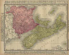
Nova Scotia Map 1896
Nova Scotia and New Brunswick map, 1896
329 miles away
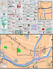
Binghampton Bus Route Map
330 miles away
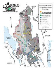
Trout Brook Valley Map
331 miles away
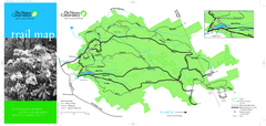
Devil's Den Preserve Map
331 miles away
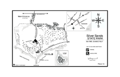
Silver Sands State Park map
Trail and campground map of Silver Sands State Park in Connecticut.
332 miles away
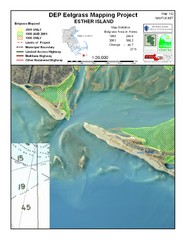
Esther Island Map
DEP Eelgrass map of Esther Island, Nantucket
333 miles away
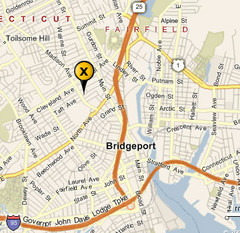
Bridgeport, Connecticut City Map
334 miles away
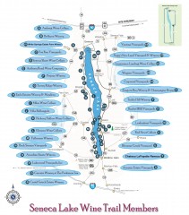
Seneca Lake Wine Trail Map
Winery tour map of Seneca Lake area in New York. Shows all vineyards that are members of the wine...
334 miles away
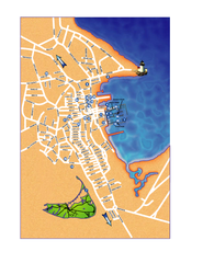
Nantucket Town Street Map
Tourist map of town of Nantucket on Nantucket Island. Shows major streets and points of interest...
335 miles away
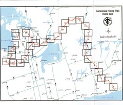
Ganaraska Hiking Trail Map
Map of the hiking trail at Ganaraska forest in Canada. Shows roads, surrounding lakes, towns and...
335 miles away
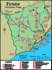
Fundy National Park Map
Official Parks Canada park map of Fundy National Park, New Brunswick. Shows trails, camping spots...
335 miles away
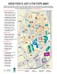
Arena at Harbor Yard Restaurants Map
List of many delicious restaurants and eateries.
335 miles away
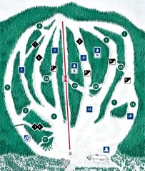
CPA Haute Gaspesie Ski Trail Map
Trail map from CPA Haute Gaspesie, which provides downhill skiing. This ski area has its own...
335 miles away

St. John Fisher College Map
Campus map
336 miles away
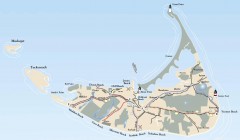
Tourist Map of Nantucket Island
Tourist map of Nantucket Island. Shows all towns and information.
336 miles away
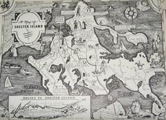
Shelter Island Map
Old Shelter Island map circa 1930s
337 miles away
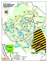
Blue Mountain Reservation Mountain Bike Trail Map
Mountain biking map of the Blue Mountain Reservation from the Westchester Mountain Biking...
337 miles away

Downtown Rochester, New York Map
Tourist map of downtown Rochester, New York. Various areas of interest, parking, and streets are...
338 miles away

Rochester, New York City Map
338 miles away

Eastern Long Island Placemat map
Photo of a placemat map from Gosman's Dock Restaurant in Montauk, NY. Shows eastern Long...
339 miles away

