
Song Mountain Ski Trail Map
Trail map from Song Mountain.
301 miles away
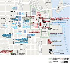
New Bedford Whaling National Historical Park...
Official NPS map of New Bedford Whaling National Historical Park in Massachusetts. Map shows all...
301 miles away
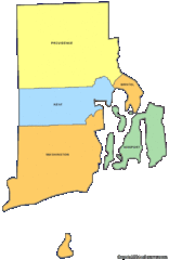
Rhode Island Counties Map
302 miles away
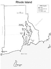
Rhode Island Airports Map
302 miles away
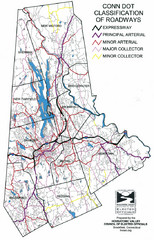
Connecticut Roadway Classification Map
302 miles away
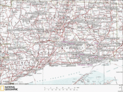
Connecticut Canoeing and Kayaking Lakes Map
A map of the lakes and ponds that are open for canoeing and kayaking in Connecticut. For detailed...
303 miles away
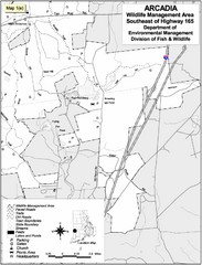
Arcadia Wildlife Management Area Map - Southeast
Reference map shows portion of Arcadia Wildlife Management Area, Rhode Island southeast of Highway...
303 miles away

Salmon River State Forest trail map
Trail map for Salmon River State Forest in Connecticut.
303 miles away
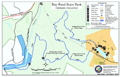
Daypond State Park map
Trail map for Day Pond State Park
303 miles away
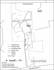
Parker Farm Trail Map
304 miles away
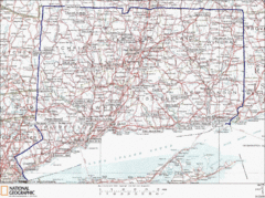
Connecticut State Parks Map
This is statewide map for Connecticut state parks. Go to the source website for detailed hiking...
304 miles away
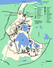
Nickerson State Park trail map
Trail map of Nickerson State Park in Massachusetts.
305 miles away
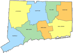
Connecticut Counties Map
305 miles away
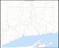
Connecticut Zip Code Map
Check out this Zip code map and every other state and county zip code map zipcodeguy.com.
305 miles away
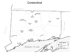
Conneticut Airports Map
305 miles away
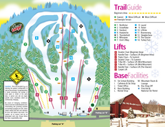
Mt. Southington Ski Area Ski Trail Map
Trail map from Mt. Southington Ski Area, which provides downhill, night, and terrain park skiing...
305 miles away
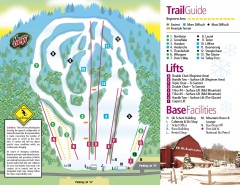
Mount Southington Ski Trail Map
Official ski trail map of Mount Southington ski area from the 2007-2008 season.
305 miles away

Marcellus Snowmobile Trail Map
Map of snowmobile trails throughout Marcellus area
305 miles away
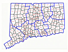
Connecticut Town Map
305 miles away
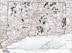
Connecticut State Forests Map
This is a map of all of the state forest boundaries in Connecticut. Follow the source web address...
305 miles away
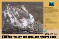
Yawgoo Valley Ski Trail map
Map of Yawgoo Valley Ski area in Exeter, Rhode Island. It is the only skiing resort in Rhode...
306 miles away
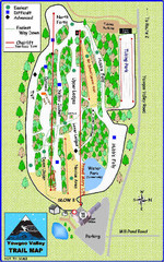
Yawgoo Valley Ski Area Ski Trail Map
Trail map from Yawgoo Valley Ski Area.
306 miles away
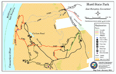
Hurd State Park trail map
Trail map for Hurd State Park in Connecticut.
306 miles away
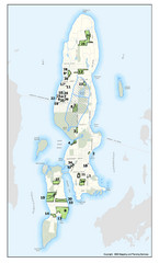
Conanicut Island Land Trust Map
Shows 430 acres of property on Conanicut Island, RI stewarded by the Conanicut Island Land Trust
307 miles away
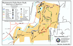
Wadsworth Falls State Park map
Trail map of Wadsworth Falls State Park in Connecticut.
307 miles away
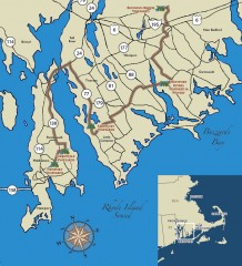
Southeastern New England Wine Trail Map
Map of the Southeastern New England Wine Trail, showing all vineyards and wineries that are members...
307 miles away
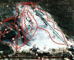
Woodbury Ski Area Ski Trail Map
Trail map from Woodbury Ski Area, which provides downhill, night, nordic, and terrain park skiing...
307 miles away

Cape Cod Hospital Map
Campus map of Cape Cod Hospital
308 miles away

Cape Cod Hospital Map
Map of external vicinity of Cape Cod Hospital
308 miles away
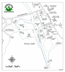
Emerson Park Map
308 miles away
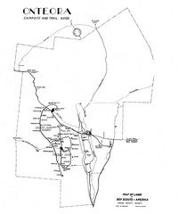
Onteora District Map
Boy Scouts Map of Onteora
308 miles away
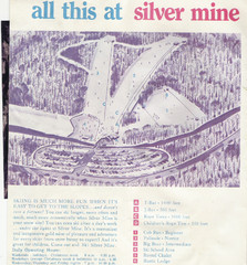
Silver Mine Credit to chris lundquist Ski Trail...
Trail map from Silver Mine, which provides downhill skiing.
309 miles away
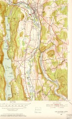
New Milford, Connecticut Map
New Milford, Connecticut topo map with roads, streets and buildings identified
309 miles away
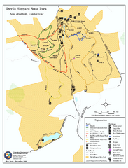
Devils Hophard State Park map
Trail and camprground map for Devils Hopyard State Park in Connecticut.
309 miles away
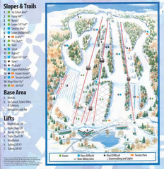
Powder Ridge Ski Area Ski Trail Map
Trail map from Powder Ridge Ski Area.
309 miles away
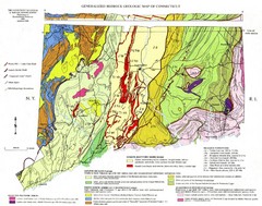
Connecticut Geologic Map
Geologic map of Connecticut bedrock. Shows shaded terranes, fault lines, and Mesozoic formations.
309 miles away
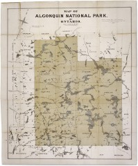
Algonquin National Park Map 1893
Map of Algonquin National Park of Ontario. "Prepared to accompany Report of Park...
310 miles away
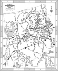
Middlebury, Connecticut Map
310 miles away
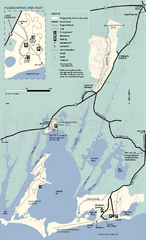
Waquoit Bay National Estuarine Research Preserve...
Trail map of Waquoit Bay National Estuarine Research Preserve in Massachusetts.
311 miles away

Cockaponset State Forest North Section trail map
Trail map for the north section of Cockaponset State Forest in Connecticut
311 miles away

