North Mohawk Mountain State Forest (Summer Trails...
Summer trail map of the North section of Mohawk Mountain State Forest in Connecticut.
291 miles away
Housatonic State Forest campground map
Campground map of Housatonic State Forest in Connecticut.
291 miles away
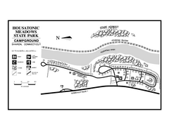
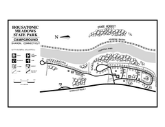
Housatonic Meadows State Park campground map
Campground map for Housatonic Meadows State Park in Connecticut.
291 miles away
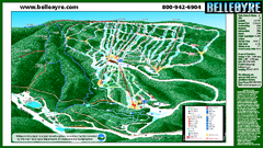
Belleayre Mountain Ski Trail Map
Trail map from Belleayre Mountain.
292 miles away
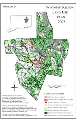
2002 Windham Region Land Use Map
Regional Land Use Guide Map for Planning Purposes
292 miles away
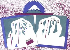
Mont Ti-Basse Ski Trail Map
Trail map from Mont Ti-Basse.
292 miles away
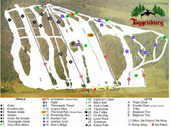
Toggenburg Ski Center Ski Trail Map
Trail map from Toggenburg Ski Center.
292 miles away
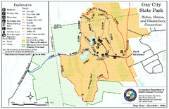
Gay City State Park trail map
Trail map of Gay City State Park in Connecticut.
292 miles away
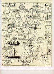
Wellfleet 1930s Tourist Map
A tourist map from the 1930s of Wellfeet, Massachusetts in Cape Cod. Courtesy of Cynthia Blakeley
292 miles away

South Mohawk Mountain State Forest (Winter Trails...
Winter trial map for the Southern Section of Mohawk Mountain State Forest in Connecticut.
293 miles away
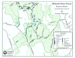
South Mohawk Mountain State Forest (Summer Trails...
Summer trails for South Mohawk State Forest in Connecticut.
293 miles away
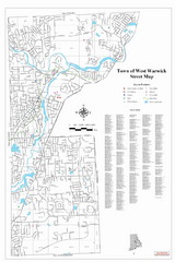
West Warwick Town Map
Street map of W. Warwick
294 miles away
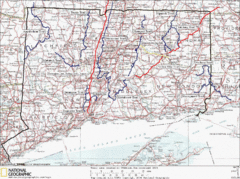
Connecticut Long Distance Trails Map
A map of long distance trails throughout Connecticut. Go to the website below for detailed trail...
295 miles away

Topsmead State Forest map
Trail map for Topsmead State Forest in Connecticut.
296 miles away
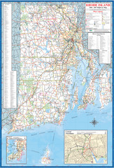
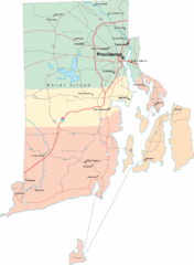
Rhode Island Road Map
Official Rhode Island state highway map. Insets show Newport and Providence.
296 miles away
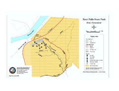
Kent Falls State Park trail map
Trail map of Kent Falls State Park in Connecticut.
296 miles away
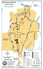
Macedonia Brook State Park trail map
Trail map of Macedonia Brook State Park in Connecticut.
298 miles away
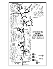
Macedonia Brook State Park campground map
Campground map for Macedonia Brook State Park in Connecticut.
298 miles away
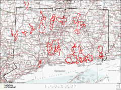
Connecticut Road Cycling Routes Map
A map of road cycling routes throughout Connecticut. Follow the link below for detailed route maps...
298 miles away
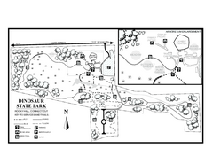
Dinosaur State Park map
Trail map of Dinosaur State Park in Connecticut.
298 miles away
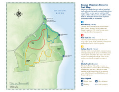
Esopus Meadows Preserve Trail Map
Trail map of Esopus Meadows Preserve park on the Hudson River.
298 miles away
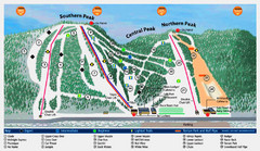
Labrador Mountain Ski Trail Map
Trail map from Labrador Mountain.
299 miles away
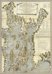
Narrangansett Bay Map 1777
"A Topographical CHART of the BAY of NARRAGANSET in the Province of NEW ENGLAND. with the...
299 miles away
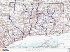
Connecticut Rivers and Coastal Paddling Map
This is a map of paddling areas for rivers and coastal kayaking. Follow the link below for...
299 miles away
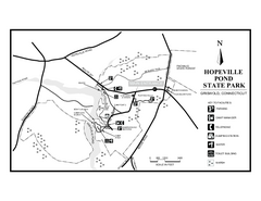
Hopeville Pond State Park trail map
Trail map for Hopevill Pond State Park in Connecticut
299 miles away
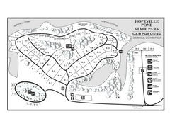
Hopeville Pond campground map
Campground map of Hopeville Pond State Park in Connecticut.
299 miles away
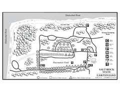
Salt Rock State Park campground map
Campground Map of Salt Rock State Campground in Connecticut.
299 miles away
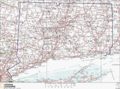
Connecticut Rock Climbing Locations Map
A map of most of the important rock climbing and bouldering areas in Connecticut. Click the link...
300 miles away
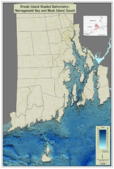
Rhode Island Shaded Bathymetry Map
Bathymetric map of Rhode Island with Narrangansett Bay and Rhode Island Sound. Graduated...
300 miles away
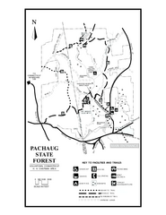
Pachaug State Forest map
Trail map of Pachaug State Forest in Connecticut.
300 miles away
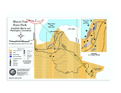
Mount Tom State Park trail map
Trail map of Mt. Tom State Park in Connecticut.
300 miles away
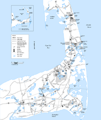
Cape Cod Rail Trail, Cape Cod, Massachusetts Map
Map of the Cape Cod Rail Trail bike path. Shows trails, restrooms, other roads and parking.
300 miles away
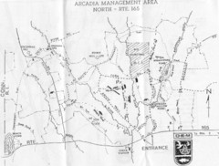
Arcadia Management Area State Map
Trail map for Arcadia Management Area in Rhode Island
301 miles away
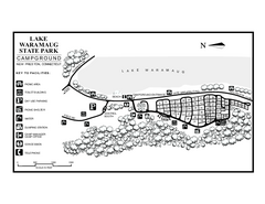
Lake Waramaug State Park campground map
Campground map of Lake Waramaug State Park.
301 miles away

Batawa Ski Trail Map
Trail map from Batawa, which provides downhill skiing. This ski area has its own website.
301 miles away
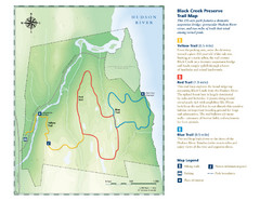
Black Creek Trail Preserve Map
Trail map of Black Creek Preserve on the Hudson River in New York. Shows Yellow Trail, Red Trail...
301 miles away
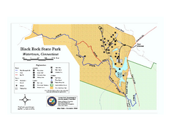
Black Rock State Park trail map
Trail map of Black Rock State Park in Connecticut.
301 miles away
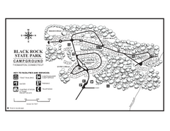
Black Rock Campground map
Map of the Campgrounds in Black Rock State Park.
301 miles away
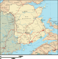
New Brunswick Map
Detailed New Brunswick Map
301 miles away

