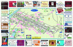
Hudson Tourist Map
Tourist map of Hudson, New York showing all tourist points of interest. Ads around border.
270 miles away
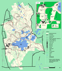
Borderland State Park trail map
Trail map of Borderland State Park in Massachusetts
270 miles away
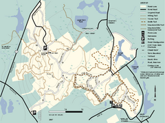
F. Gilbert Hills State Forest trail map
F. Gilbert Hills State Forest trail map in Massachusetts.
271 miles away
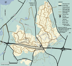
Wrentham State Forest trail map
Trail map of Wrentham State Forest in Massachusetts.
271 miles away
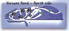
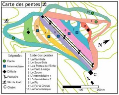
Val D’Irene North Side Ski Trail Map
Trail map from Val D’Irene, which provides downhill and nordic skiing. This ski area has its own...
271 miles away
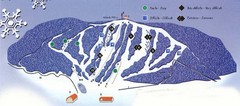
Val D’Irene South Side Ski Trail Map
Trail map from Val D’Irene, which provides downhill and nordic skiing. This ski area has its own...
271 miles away
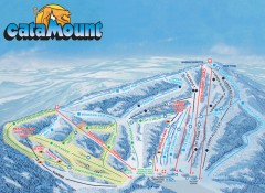
Catamount Ski Trail Map
Official ski trail map of Catamount ski area from the 2006-2007 season.
271 miles away
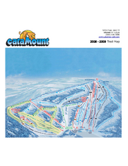
Catamount Ski Area Ski Trail Map
Trail map from Catamount Ski Area.
271 miles away
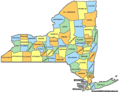
New York Counties Map
271 miles away
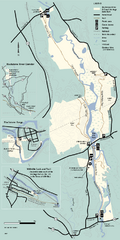
Blackstone Trail Map
Map of Blackstone River State Park in Massachusetts.
272 miles away
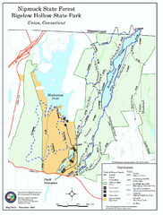
Bigelow Hollow State Park trail map
Trail map of Bigelow Hollow State Park in Connecticut.
272 miles away
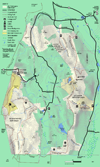
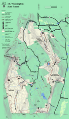
Mt. Washington State Forest trail map
Trail map of Mt. Washington State Forest
272 miles away
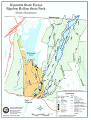
Nipmuck State Forest trail map
Trail map of Nipmuck State Forest and Bigelow Hollow State Park in Connecticut.
272 miles away
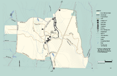
Granville State Forest trail map
Trail map of Granville State Forest in Massachusetts
272 miles away
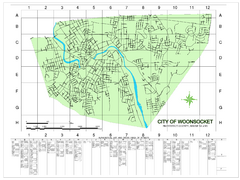
Woonsocket Street Map
Street map of Woonsocket, Rhode Island. Shows street legend.
273 miles away
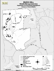
Buck Hill Wildlife Management Area Map
274 miles away
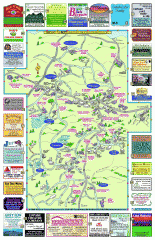
Columbia County - Boston Corners, Copake, Copake...
Tourist map of Columbia County, Mass. Includes towns of Boston Corners, Copake, Copake Falls...
274 miles away
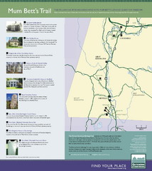
Mum Bett's Trail Map
Historic African American trail guide
275 miles away
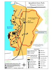
Quaddick State Park Trail Map
275 miles away
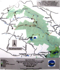
Northern Catskill Trail Map
Trail map shows hiking trails in the northern Catskills of New York. Shows trails in Windham High...
276 miles away
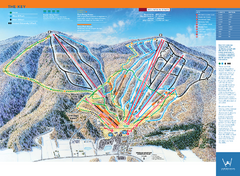
Windham Mountain Ski Trail Map
Trail map from Windham Mountain.
276 miles away
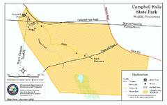
Cambell Falls State Park map
Trail map of Campbell Falls State Park Reserve in Connecticut
276 miles away
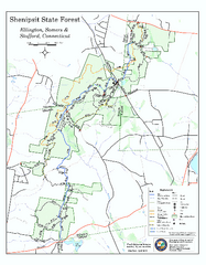
Trail map of Shenipsit State Forest
Trail map of Shenipsit State Forest in Connecticut.
277 miles away
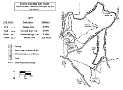
Pulaski State Park Map
277 miles away
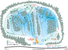
Madawaska Valley (Radcliffe Hills) Ski Trail Map
Trail map from Madawaska Valley (Radcliffe Hills), which provides downhill skiing.
277 miles away
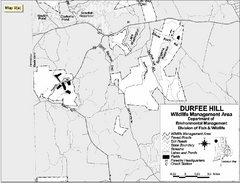
Durfee Hill Wildlife Management Area Map
278 miles away
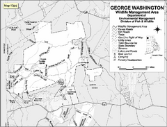
George Washington Wildlife Management Area Map
278 miles away
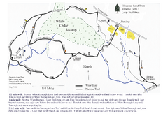
Sprague Farm - Glocester Land Trust Map
279 miles away
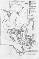
Gilbert Lake State Park Map
279 miles away
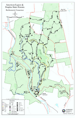
American Legion State Forest trail map
Trail map of American Legion and Peoples State Forests in Connecticut.
279 miles away
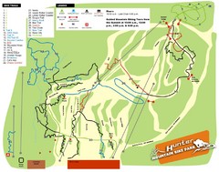
Hunter Mountain Bike Park Map
Map of bike trails in park
280 miles away
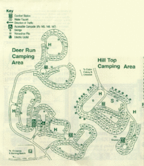
Gilbert Lake State Park Camping Map
280 miles away
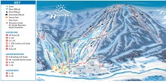
Hunter Mountain ski trail map
Official ski trail map of Hunter Mountain ski area from the 2006-2007 season.
281 miles away
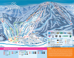
Hunter Mountain Ski Bowl Ski Trail Map
Trail map from Hunter Mountain Ski Bowl.
281 miles away
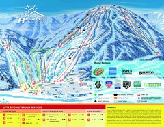
Hunter Mountain Trail Map
282 miles away
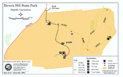
Dennis Hill State Park map
Trail map of Dennis Hill State Park in Connecticut.
282 miles away
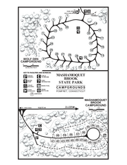
Mashamoquet Brook State Park campground map
Campground map of Mashamoquet Brook State Park in Connecticut.
282 miles away
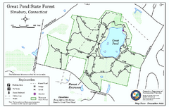
Great Pond State Park trail map
Trail map of Great Pond State Forest in Connecticut.
282 miles away

