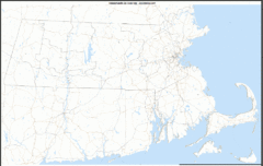
Massachusetts Zip Code Map
Check out this Zip code map and every other state and county zip code map zipcodeguy.com.
245 miles away
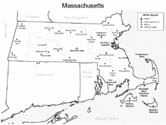
Massachusetts Airports Map
245 miles away
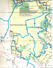
Tug Hill Trail Map
Tug Hill Area Snow Mobile Trail Map
246 miles away
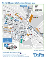
Medford Campus Map
Clear map indicating buildings and parking areas.
247 miles away
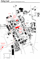
University of Massachusetts Amherst Parking Map
Map of the University of Massachusetts. Includes all buildings, streets, and parking information.
247 miles away
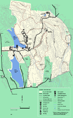
DAR State Forest summer map
Summer use map of the Daughters of the American Revolution state forest.
247 miles away
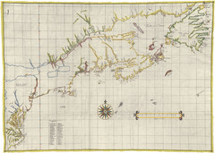
Velasco Map 1610
247 miles away
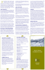
Mt. Pisgah Map - Northboro, Berlin, Boylston Mass
247 miles away
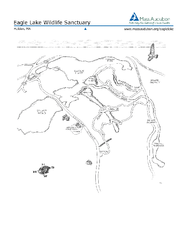
Eagle Lake Conservation Area Map
247 miles away
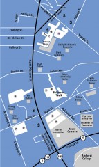
Downtown Amherst, Massachusetts Map
Tourist map of downtown Amherst, Massachusetts, showing attractions, government buildings, atms...
248 miles away
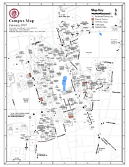
University of Massachusetts - Amherst Map
Campus Map of the University of Massachusetts - Amherst. All buildings shown.
248 miles away
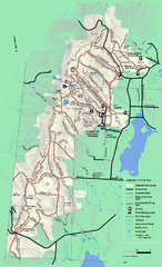
Pittsfield State Forest winter trail map
Winter use trail map of Pittsfield State Forest in Massachusetts.
248 miles away
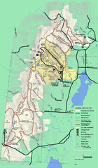
Pittsfield State Forest summer trail map
Summer use trail map of Pittsfield State Forest in Massachusetts.
248 miles away
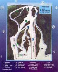
Woods Valley Ski Area Ski Trail Map
Trail map from Woods Valley Ski Area.
248 miles away
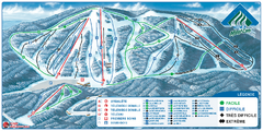
Parc du Mont-Comi Ski Trail Map
Trail map from Parc du Mont-Comi, which provides downhill skiing. This ski area has its own website.
249 miles away
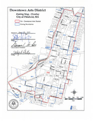
Pittsfield,, Massachusetts City Map
249 miles away
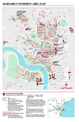
Harvard University campus map
Harvard University campus map
249 miles away
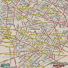
Cambridge, Massachusetts Map
249 miles away
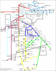
Cambridge Pub Map
249 miles away
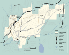
Windsor State Forest trail map
Trail map of Windsor State Forest in Massachusetts.
250 miles away
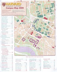
Harvard University Map
Campus map
250 miles away

John F. Kennedy School of Government Campus Map
Campus map of the Harvard University John F. Kennedy School of Government in Cambridge...
250 miles away
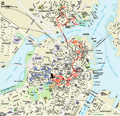
Boston National Historical Park Official Park Map
Official NPS map of Boston National Historical Park in Boston, Massachusetts. From park brochure...
250 miles away
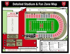
Harvard Stadium Map
Beautiful map of the horse-shoe shaped stadium of Harvard University.
250 miles away
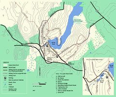
Moore State Park trail map
Trail map of Moore State Park in Massachusetts.
250 miles away
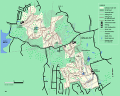
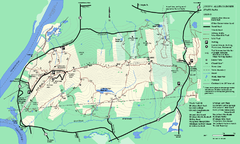
Callahan State Park trail map
Trail map of Callahan State Park in Massachusetts
250 miles away
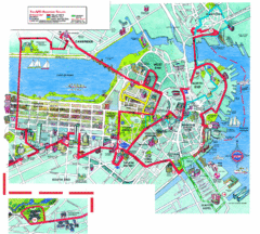
Boston Beantown Trolley Route Map
Route Map for the Boston Beantown trolley. Shows the trolley route, all stops, and a colorful...
251 miles away
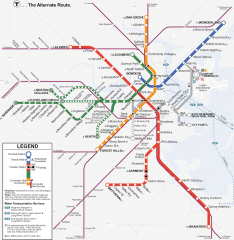
Boston Subway T Map
Massachusetts Bay Transportation Authority (MBTA) map of the Boston T subway system. Includes...
251 miles away
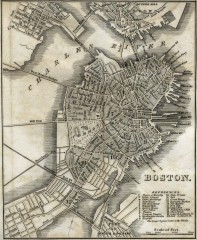
Antique map of Boston from 1842
Antique map of Boston from Tanner, H.S. The American Traveller; or Guide Through the United States...
251 miles away
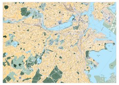
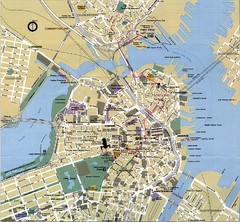
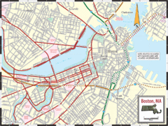
Boston, Massachusetts City Map
251 miles away
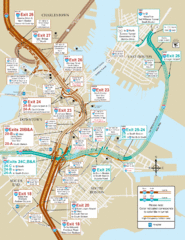
I-93 & I-90 Boston Map
Detail of exits and on-ramps for downtown Boston.
251 miles away
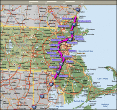
Interstate 95 Cities in Massachusetts Map
251 miles away
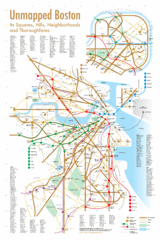
Boston Neighborhood Map
251 miles away
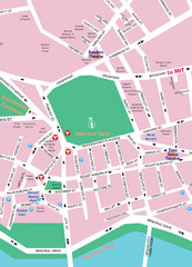
Boston Neighborhood Map
251 miles away
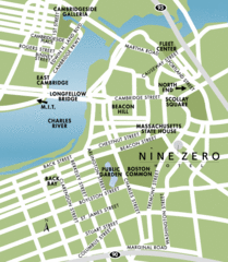
Central Boston Tourist Map
251 miles away
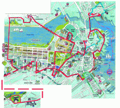
Boston 'Beantown Trolley' map
Tourist map of Boston, Mass. showing route of the Beantown Trolley, various points of interest and...
251 miles away
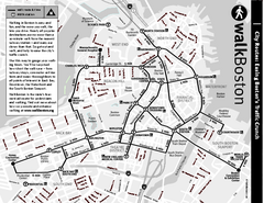
Walking Map of Boston, Massachusetts
Tourist map of Boston, Massachusetts, showing walking routes and times, as well as museums, squares...
251 miles away

