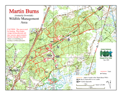
Downfall/Martin Burns WMA Map
225 miles away
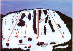
Ski Bradford Ski Trail Map
Trail map from Ski Bradford.
225 miles away
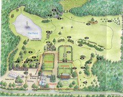
Newbury Perrenial Gardens Guide Map
225 miles away
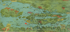
Wellesley Island Illustrated Map
Colorized illustration from "Thousand Islands" viewbook.
226 miles away
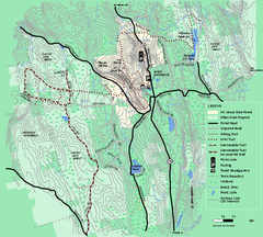
Mt. Grace State Forest trail map
Trail map of Mt. Grace State Forest near Warwick, Massachusetts.
226 miles away
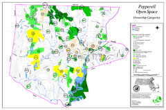
Pepperell Conservation Land and Open Spaces Map
Map showing conservation land and open spaces in Pepperell, MA.
227 miles away
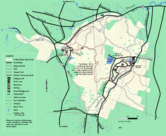
Willard Brook State Forest trail map
Trail map of Willard Brook State Forest in Massachusetts.
227 miles away
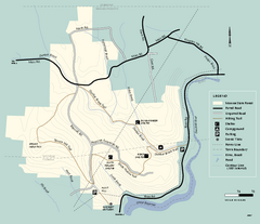
Monroe State Forest trail map
Trail map of Monroe State Forest in Massachusetts.
228 miles away
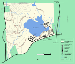
Clarksburg State Park trail map
Trail map of Clarksburg State Park in Massachusetts.
228 miles away
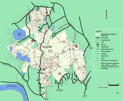
Lowell-Dracut-Tyngsboro State Forest trail map
Trail map for the Lowell-Dracut-Tyngsboro State Forest in Massachusetts
228 miles away
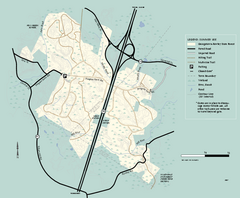
Georgetown-Rowley State Forest summer use map
Summer use map for Georgetown-Rowley State Forest.
229 miles away
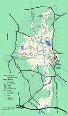
Otter River State Forest winter trail map
Winter usage trail map for Otter River State Park in Massachusetts.
229 miles away
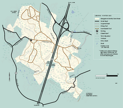
Georgetown-Rowley State Forest winter use map
Winter use map for the Georgetown-Rowley State Forest in Massachusetts.
229 miles away
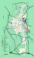
Otter River State Forest summer trail map
Summer trail map of the Otter River State Forest area in Massachusetts.
229 miles away
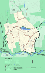
Erving State Park winter use map
Winter use map of the Erving State Park in Massachusetts
230 miles away
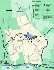
Erving Summer trail map
Summer use map of Erving State Park in Massachusetts.
231 miles away
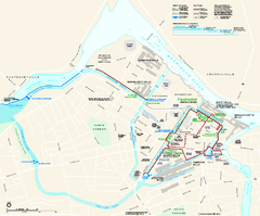
Lowell National Historical Park Official Map
Official NPS map of Lowell National Historical Park in Lowell, Massachusetts. Map shows all of...
231 miles away
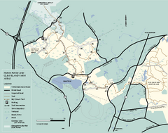
Willowdale State Forest map of Hood Pond
Trail map of the Hood Pond area of the Willowdale State Park in Massachusetts.
231 miles away
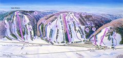
Snow Ridge Ski Trail Map
Trail map from Snow Ridge.
231 miles away
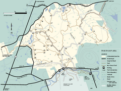
Willowdale State Forest map of Pine Swamp
Trail map of the Pine Swamp area of Willowdale State Park in Massachusetts.
232 miles away
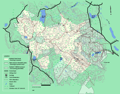
Boxford State Park trail map
Trail map of Boxford State Forest in Massachusetts
232 miles away
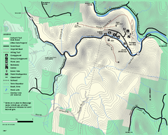
Mohawk Trail State Forest map
Map of the Mohawk Trail State Forest in Charlemont, Massachusetts.
233 miles away
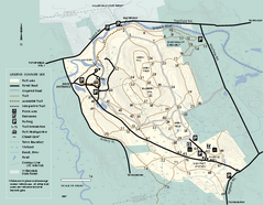
Bradley Palmer State Park summer map
Summer use map of Bradley Palmer State Park in Massachusetts
233 miles away
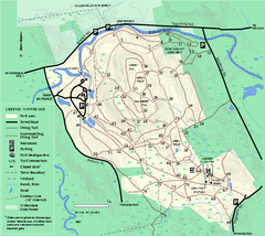
Bradley Palmer State Park winter map
Winter trail map of Bradley Palmer State Park.
233 miles away
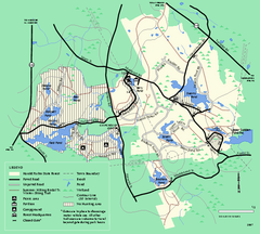
Harold Parker State Forest trail map
Trail map of Harold Parker State Forest in Massachusetts
233 miles away
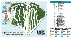
Crabbe Mountain Ski Trail Map
Official ski trail map of Crabbe Mountain ski area. 853 ft vertical, highest in New Brunswick
233 miles away
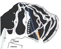
Royal Mountain Ski Trail Map
Trail map from Royal Mountain.
234 miles away
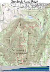
Mt. Greylock Road Race Course Map
Course map of the annual Mount Greylock Road Race. 8 Miles (uphill). Start/Finish: Mt. Williams...
234 miles away
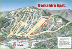
Berkshire East Ski Area Ski Trail Map
Trail map from Berkshire East Ski Area.
234 miles away
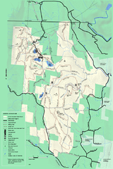
Savoy Mountail trail map
Trail map for Savoy Mountain in Massachusetts.
234 miles away
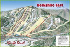
Berkshire East Ski Trail Map
Official ski trail map of Berkshire East ski area from the 2007-2008 season.
234 miles away
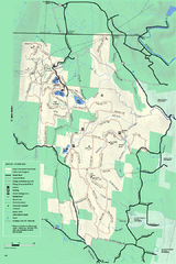
Savoy Mountain winter map
Winter use map of Savoy Mountain in Massachusetts.
234 miles away
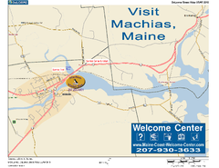
Machias, Maine, USA Map
Maine Coast Welcome Center's local Map of Machias, Me with recommended business locations.
234 miles away
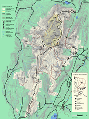
Mt. Greylock State Reservation summer trail map
Summer trail map of the Mt. Greylock State Park area in Massachusetts.
235 miles away
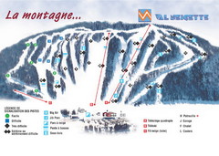
Val Neigette Ski Trail Map
Trail map from Val Neigette, which provides downhill skiing. This ski area has its own website.
235 miles away
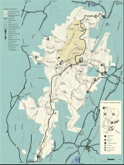
Mt. Greylock State Reservation map
Official summer map of the Mount Greylock State Reservation. At 3,491 feet, Mount Greylock is the...
235 miles away
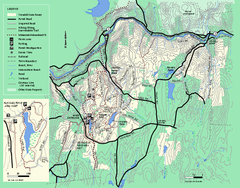
Wendell State Forest trail map
Trail map of Wendell State Forest in Massachusetts.
235 miles away
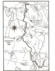
Monoosnoc Trail Map
235 miles away
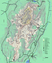
Mt. Greylock State Reservation winter trail map
Winter use trail map of Mt. Greylock State Park in Massachusetts.
235 miles away
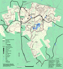
Great Brook Farm State Park trail map
Trail map of Great Brook Farm State Park.
236 miles away

