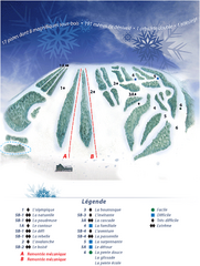
Mont Saint-Mathieu Ski Trail Map
Trail map from Mont Saint-Mathieu, which provides downhill and nordic skiing. This ski area has its...
207 miles away
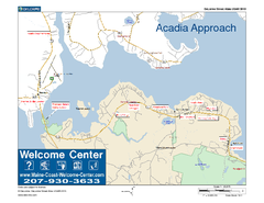
Acadia Approach Map
Maine Coast Welcome Center's local Map of the approach to Acadia, Me with recommended business...
209 miles away
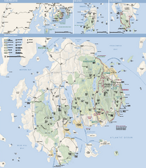
Acadia National Park Map
Official map of Acadia National Park, Maine. "Except for one mainland section, Acadia...
209 miles away
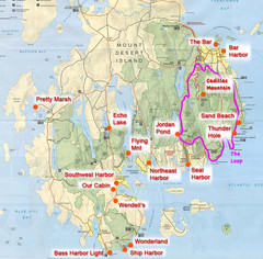
Mount Desert Island Tourist Map
Places of interest.
209 miles away
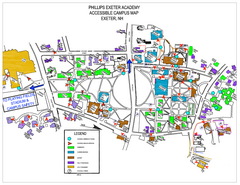
Phillips Exeter Academy Campus Map
Phillips Exeter Academy Campus Map
210 miles away
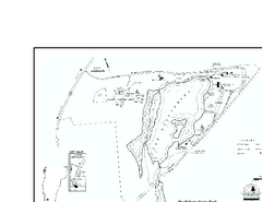
Shaftsbury State Park Map
Campground map of Shaftsbury State Park in Vermont.
210 miles away
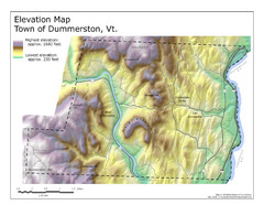
Elevation Map of Dummerston, Vermont
This Hypsometric map is a map that distinguishes elevations progression within a specific...
210 miles away
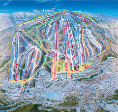
Mount Snow Ski Trail Map - main face
Trail map of main face of Mt Snow ski area near Wilmington, Vermont
211 miles away
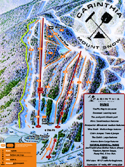
Mount Snow Carinthia Terrain Park Ski Trail Map
Trail map from Mount Snow.
211 miles away
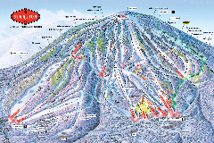
Stratton Mountain Resort Ski Trail Map
Trail map from Stratton Mountain Resort.
211 miles away
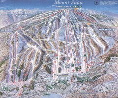
Mount Snow Trail Map 2001
Ski trail map of Mount Snow ski area, estimated 2001
211 miles away
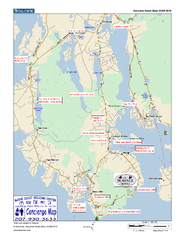
Southwest Harbor, Maine Map
Maine Coast Welcome Center's local Map of Southwest Harbor, Me with recommended business...
211 miles away
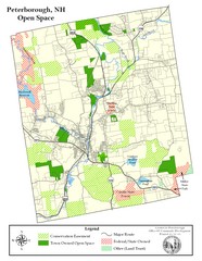
Peterborough Open Space Map
Map of open space lands in Peterborough, New Hampshire
211 miles away
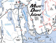
Mt. Desert Island Map
212 miles away
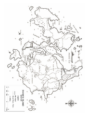
Swan's Island, ME Map
212 miles away
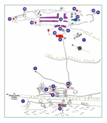
Thuya Garden Map
1. Parking 2. Asticou Terraces Landing 3. Joseph H. Curtis Memorial 4. Stone Lookout 5. Second...
212 miles away
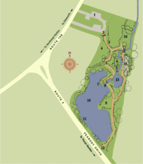
Asticou Azalea Garden Map
1. Parking Area 2. Main Gate 3. Moss Corridor 4. Service Area 5. Heath Garden 6. Sand Garden...
212 miles away
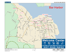
Bar Harbor, Maine, Us Map
Maine Coast Welcome Center's local Map of Bar Harbor, Me with recommended business locations.
212 miles away
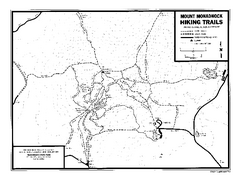
Mount Monadnock State Park Map
Official hiking map of the park. With its thousands of acres of protected highlands, 3,165-ft...
213 miles away
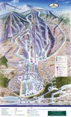
Haystack Club Ski Trail map
Official ski trail map of Haystack ski area from the 2006-2007 season.
213 miles away
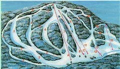
McCauley Mountain Ski Trail Map
Trail map from McCauley Mountain.
213 miles away
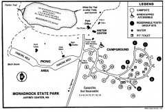
Monadnock State Park map
Campground map of Monadnock State Park in New Hampshire
214 miles away
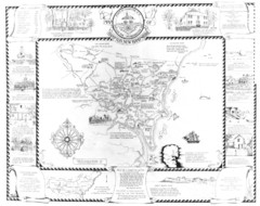
Hampton, New Hampshire Historical Map
Historical map of Hampton, New Hampshire. Illustrated map includes roads and historical buildings.
214 miles away

Arnprior Downtown Map
Arnprior, Ontario, Canada
215 miles away
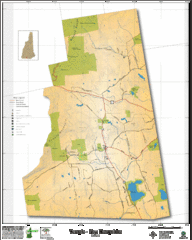
Temple NH Topo Map
Topographical map of Temple, NH area. Shows all roads and points of interest.
215 miles away
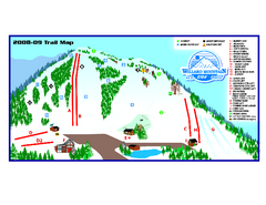
Willard Mountain Ski Area Ski Trail Map
Trail map from Willard Mountain Ski Area.
215 miles away
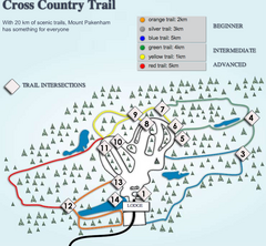
Mount Pakenham Nordic Ski Trail Map
Trail map from Mount Pakenham, which provides downhill and nordic skiing. This ski area has its own...
215 miles away
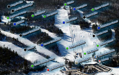
Mount Pakenham Ski Trail Map
Trail map from Mount Pakenham, which provides downhill and nordic skiing. This ski area has its own...
215 miles away
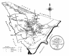
Hampton NH Map 1806
1806 map of Hampton, NH. Shows roads and settlements.
215 miles away
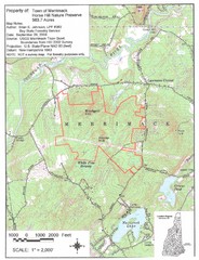
Merrimack Topo Map
A Topographical map Horse Hill Nature Preserve.
216 miles away
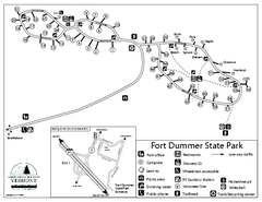
Fort Dummer State Park Campground Map
Campground map of Fort Dummer State Park in Vermont
216 miles away
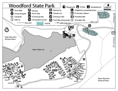
Woodford State Park Campground Map
Campground map for Woodford State Park in Vermont
217 miles away
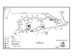
Molly Stark State Park Campground Map
Campground map for Molly State State Park in Vermont
217 miles away
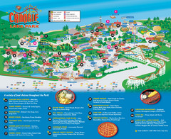
Canobie Lake Park Map
220 miles away
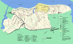
Maudslay State Park trail map
Trail Map of Maudslay State Park in Massachusetts.
221 miles away
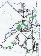
Nashua Parks Map
Map of Nashua, New Hampshire parks
221 miles away
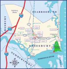
Salisbury Town Map
222 miles away
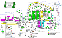
Lower Beverely Park Map
222 miles away
Mt. Watatic to Wachusett Mountain, Massachusetts...
224 miles away
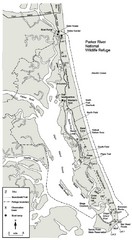
Parker River Map
Map of Parker River National Wildlife Refuge for birdlife
224 miles away

