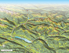
Nockberge National Park Map
Outline map of Nockberge National Park, Austria in the summer. Shows surrounding towns.
112 miles away
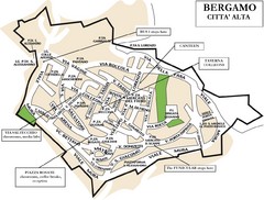
Bergamo Upper Town Map
113 miles away

Bergamo Map
113 miles away
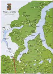
Lake Como Map
Map of lake with detail of surrounding towns
114 miles away
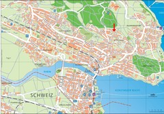
Konstanz City Map
114 miles away
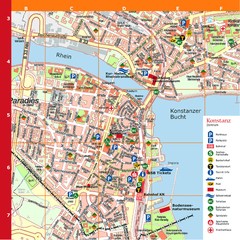
Konstanz Tourist Map
Tourist map of Konstanz
115 miles away
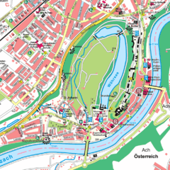
Burghausen Tourist Map
Tourist street map of Burghausen
115 miles away
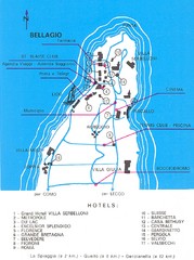
Bellagio Map
115 miles away
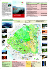
Monte Barro Map
115 miles away
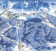
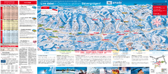
Arnoldstein—Dreiländereck Ski Trail Map
Trail map from Arnoldstein—Dreiländereck, which provides downhill skiing. It has 8 lifts. This...
116 miles away
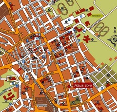
Bad Saulgau Tourist Map
Tourist street map of Bad Saulgau town center
116 miles away
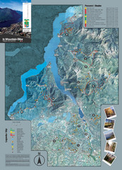
Lake Como Mountain Biking Trail Map
Trail map of mountain biking routes around Lake Como, Italy.
117 miles away
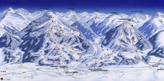
Planai-Hochwurzen Ski Trail Map
Trail map from Schladming.
118 miles away

bibione Map
118 miles away
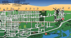
bibione - lido del sole Map
bibione & bibione lido del sole
119 miles away
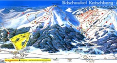
Lungau Ski Trail Map
Trail map from Lungau.
119 miles away
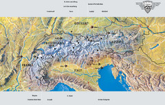
Alps Top Resort Town Map
Shows 12 top 4 season mountain resort towns in the Alps in France, Switzerland, Austria, and Italy.
119 miles away
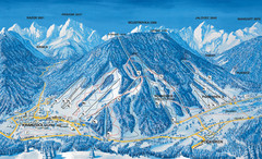
Kranjska Gora Ski Trail Map
Ski trail map of Kranjska Gora ski area.
120 miles away
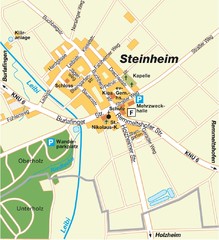
Ulm Steinheim Map
Street map of town of Ulm Steinheim
120 miles away
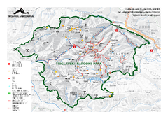
Triglav National Park Map
Triglav National Park is the only Slovenian national park. The park was named after Triglav, the...
120 miles away
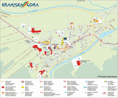
Kranjska Gora town map
Blurb from town website: The Zgornjesavska Valley is one of the most breathtaking alpine valleys...
120 miles away

Mantova Map
120 miles away
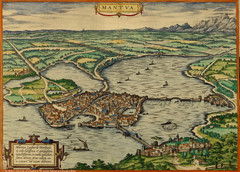
Mantua City Map 1575
Panoramic view of Mantua (Mantova), Italy from Braun and Hogenberg Civitates Orbis Terrarum Volume...
120 miles away
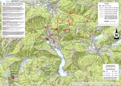
Central Austria Hiking Map
Large map of hiking and emergency services.
121 miles away
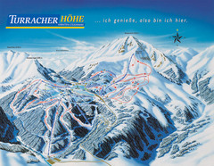
Turracher Höhe Ski Trail Map
Trail map from Turracher Höhe.
122 miles away
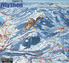
Brunni-Alpthal Ski Trail Map
Trail map from Brunni-Alpthal.
124 miles away
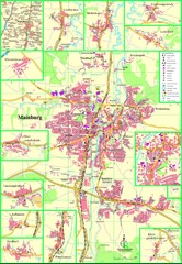
Mainburg Map
Street map of Mainburg city and surrounding region
125 miles away
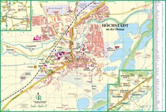
Höchstädt an der Donau Map
Street map of Höchstädt an der Donau
126 miles away
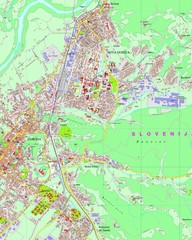
Map of Nova Gorica, Slovenia
128 miles away
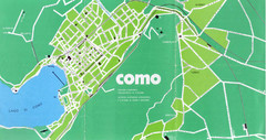
Como City Map
City map and historical sites of Como, Italy.
129 miles away

Winterthur City Map
129 miles away
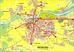
Neuburg an der Donau Map
Street map of Neuburg an der Donau
129 miles away
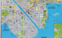
Ascona City Tourist Map
Landmarks in Ascona, Switzerland
130 miles away
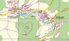
Indelhausen / Anhausen Map
Map of towns of Indelhausen & Anhausen
130 miles away

Andermatt (Hospental) Ski Trail Map
Trail map from Andermatt (Hospental).
131 miles away

