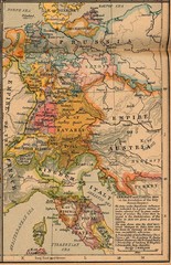
Germany Italy 1806 Map
Germany and Italy in 1806 at the dissolution of the Roman Empire
68 miles away
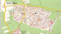
Geretsried Map
Street map of Geretsried
69 miles away
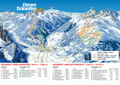
Lienz Austria Ski Map
Trail map for Lienz ski resort in Austria. Lifts, runs, elevations and amenities marked on map.
69 miles away
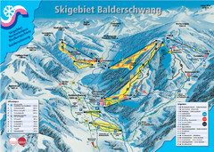
Balderschwang Balderschwang Ski Trail Map
Trail map from Balderschwang.
70 miles away
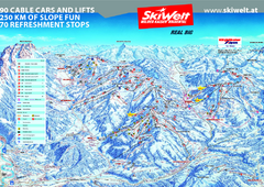
Wilder Kaiser Ski Trail Map
Trail map from Wilder Kaiser – Gosau, Scheffau, Ellmau.
70 miles away
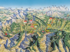
Saalbach Hinterglemm Summer Hiking Map
Summer panorama map of Saalbach and Hinterglemm Austria area. Shows trails, lifts, huts, and peaks.
70 miles away
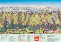
Davos Schatzalp Summer Trail Map
Trail map showing summer trails and lifts at Davos Schatzalp in Davos, Switzerland.
70 miles away
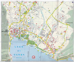
Riva del Garda Map
71 miles away
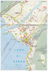
Nago-Torbole Map
71 miles away
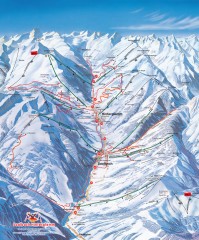
Saalbach and Hinterglemm Winter walks map
Panoramic map showing winter walks in the Saalbach and Hinterglemm Austria area.
73 miles away
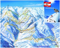
Saalbach and Hinterglemm Ski Trail map
Official ski trail map of Saalbach and Hinterglemm area from the 2006-2007 season. In German.
73 miles away
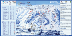
Aprica Ski Trail Map
Trail map from Aprica, which provides downhill skiing. This ski area has its own website.
74 miles away
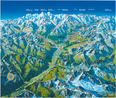
Engadin St. Moritz Region Summer Map
Summer panoramic tourist map of Engadin region of Switzerland. Includes St. Moritz, Piz Bernina...
74 miles away

St. Moritz Tourist Map
Tourist map of St. Moritz, Switzerland. Shows summer and winter points of interest.
74 miles away
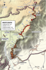
Monte Grappa Giro Stage 14 Cycling Route Map
Cycling route of the climb up Monte Grappa in Stage 14 of the 2010 Giro d'Italia. Averages 8...
74 miles away
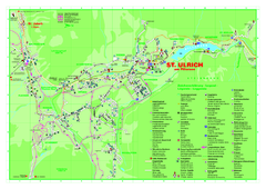
St. Ulrich am Pillersee Map
Village map of St. Ulrich am Pillersee, Austria
75 miles away
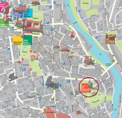
Kempten im Allgäu Tourist Map
Tourist street map of Kempten im Allgäu
76 miles away
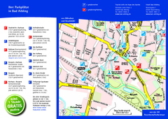
Bad Aibling Tourist Map
Tourist parking map of downtown Bad Aibling
77 miles away
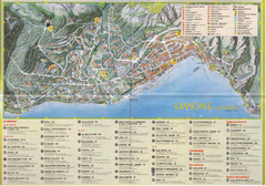
Limone sul garda Map
77 miles away
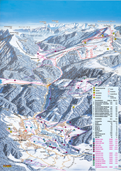
Reit im Winkl Ski Trail Map
Trail map from Reit im Winkl.
78 miles away
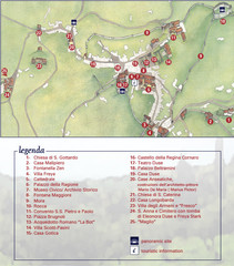
Asolo Town Map
Tourist map of Asolo, Italy. Shows points of interest, panoramic site, and touristic information...
79 miles away
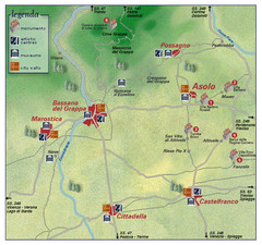
Asolo Italy Area Map
Tourist map of Asolo, Italy surroundings. Shows monuments, art centers, museums, and city walls.
79 miles away
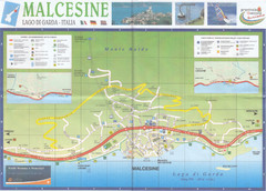
Malcesine Map
80 miles away
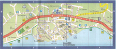
Malcesine Map
80 miles away
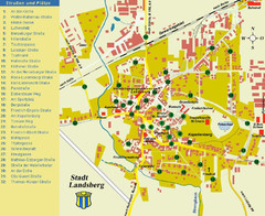
Landsberg Tourist Map
tourist map of town of Landsberg
80 miles away
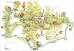
Tramonti di Sopra Tourist Map
Tourist map of town and surrounding area of Tramonti di Sopra, Italy. Drawing shows streets...
80 miles away
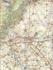
Northern Italy Tourist Map
Pordenone, Coltura, Polcenigo, Italy
82 miles away
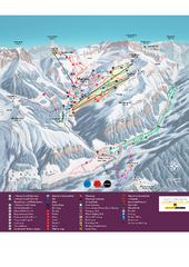
Malbun Ski Trail Map
Ski trail map of area surrounding Malbun, Liechtenstein. Also shows walking routes.
82 miles away
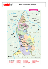
Liechtenstein Regional Map
Country map with detail of regional divides
84 miles away
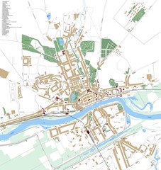
Landsberg Map
Street map of city of Landsberg
84 miles away
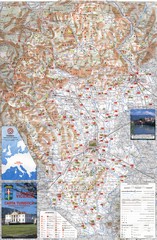
Vicenza Tourist Map
Tourist map of region around Vicenza, Italy. Shows points of interest. In Italian. Scanned.
84 miles away
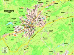
Lindenberg im Allgäu Map
Street map of Lindenberg
84 miles away
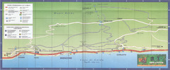
Brenzone Map
84 miles away
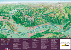
Liechtenstein Tourist Map
Tourist map of the country of Liechtenstein. Panoramic view shows all towns, trails, and mountains.
85 miles away
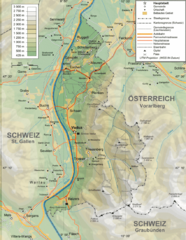
Liechtenstein topography Map
85 miles away
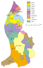
Liechtenstein Tourist Map
85 miles away
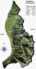
Liechtenstein Tourist Map
85 miles away
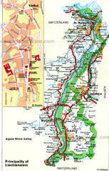
Liechtenstein Principality Map
85 miles away
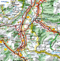
Liechtenstein road Map
86 miles away
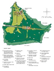
Chiemsee Island Germany Tourist Map
Tourist map of the island showing all the tourist sites.
86 miles away

