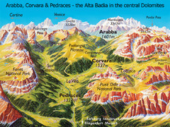
Arabba Corvara Pedraces Summer Map
Summer map of Alta Badia region in Italian Dolomites
34 miles away
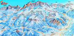
Latemar (Val di Fiemme, Obereggen) Ski Center...
Trail map from Latemar (Val di Fiemme, Obereggen), which provides downhill and nordic skiing. This...
35 miles away
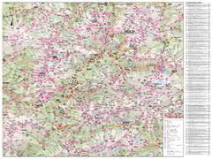
Val di Fassa Hiking Map
Hiking trail map of the Val di Fassa, Italy region. Highly detailed.
35 miles away
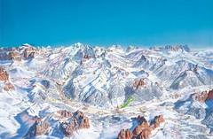
Canazei Campitello Ski Trail Map
Ski trail map of Canazei-Campitello area in the Italian Dolomites.
36 miles away
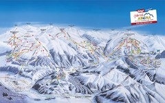
Zillertal Arena Ski Trail Map
Trail map from Zillertal Arena.
37 miles away
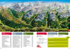
Alta Pusteria Summer Map
Panoramic summer hiking map of the Alta Pusteria, Italy, in the South Tyrol. Shows towns...
39 miles away
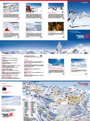
Zillertal 3000 (Hintertux) Ski Trail Map
Trail map from Zillertal 3000 (Hintertux).
40 miles away
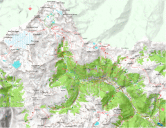
Val di Rabbi Topo Map
Detailed topographic map of Val di Rabbi, Italy on the edge of Stelvio National Park
40 miles away
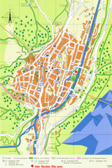
Mittenwald Tourist Map
Tourist street map
40 miles away

Sulden Ski Trail Map
Ski trail map of Sulden (Solda), Italy in the Ortler Alps. Shows trails and lifts.
41 miles away
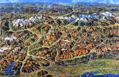
Eastern Alps Italy and Austria Overview Map
Panoramic map of the mountains and towns of northern Italy, the Tyrol, and southern Austria
42 miles away
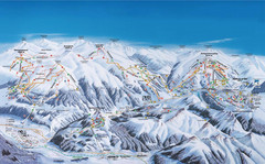
Gerlos Ski Resort Map
Ski map for Gerlos, Austria. Includes ski runs, lifts, mountains with elevations and amenities.
42 miles away
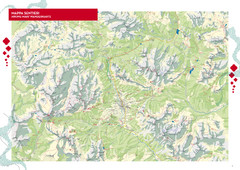
Cortina d'Ampezzo Hiking Map
Summer hiking map of the Cortina d'Ampezzo, Italy area in the heart of the Dolomite Mountains...
44 miles away

Sulden Trafoi Summer Hiking Map
Summer hiking route map of Sulden (Solda) Italy, Trafoi, Italy and Stelvio, Italy. Shows hiking...
44 miles away
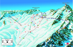
Garmisch Partenkirchen Ski Trail Map
Trail map from Garmisch Partenkirchen.
45 miles away
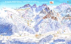
Alta Pusteria Ski Trail Map
47 miles away
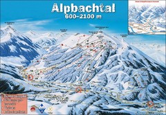
Alpbach Ski Trail Map
Trail map from Alpbach.
48 miles away
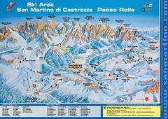
San Martino di Cartozza Ski Trail Map
Ski trail map of San Martino di Cartozza, Italy
48 miles away
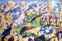
Bormio Panorama Map
Panorama tourist map of Bormio, Italy. Shows Ortler Alps in distance. From photo.
51 miles away
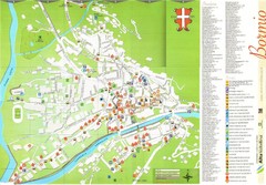
Bormio Tourist Map
Tourist map of town of Bormio, Italy. Legend of all streets and services.
52 miles away
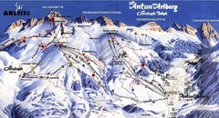
Arlberg – St Anton Ski Trail Map
Trail map from Arlberg – St Anton.
55 miles away
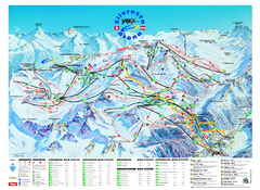
Ischgl – Galtur Ski Trail Map
Trail map from Ischgl – Galtur.
55 miles away
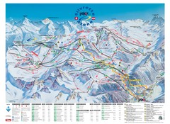
Ischgl – Galtur Ski Trail Map
Trail map from Ischgl – Galtur.
55 miles away
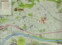
Trento Map
56 miles away
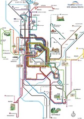
Trento Bus Route Map (Italian)
56 miles away
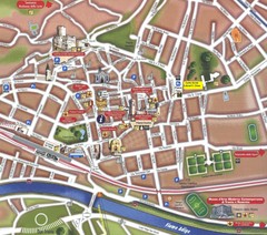
Trento Tourist Map
Tourist map of central Trento, Italy. Shows major buildings.
56 miles away
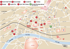
Trento center Map
56 miles away
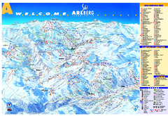
St Anton Region Ski map
Panoramic ski map covers St. Anton, St. Christoph, St. Jakob, Stuben, Zurs, Zug, Lech, and Oberlech...
57 miles away
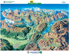
Valdidentro Alta Valtellina Summer Map
Panorama tourist map of the region of Valdidentro Alta Valtellina from Bormio, Italy to Livigno...
57 miles away
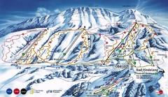
Oberjoch-Unterjoch Ski Trail Map
Trail map from Oberjoch.
60 miles away
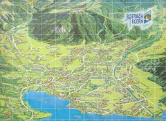
Rottach Egern Map
61 miles away
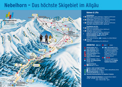
Oberstdorf Ski Trail Map
Trail map from Oberstdorf.
61 miles away
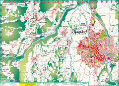
Oberstdorf City Map
City map of Oberstdorf, Germany and surrounding area. Shows buildings and ski lifts. In German.
61 miles away
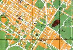
Sesto Map
62 miles away
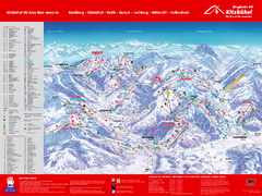
Kitzbuhel Ski Trail Map
Trail map from Kitzbuhel.
65 miles away
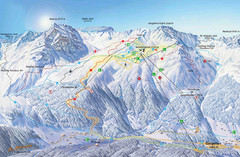
Montafon Ski Trail Map
Trail map from Montafon.
65 miles away
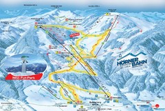
Bolsterlang Ski Trail Map
Trail map from Bolsterlang.
65 miles away
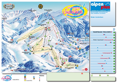
Sudelfeld Ski Trail Map
Trail map from Sudelfeld.
66 miles away
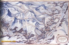
Davos-Klosters Ski Trail Map
Trail map from Davos-Klosters.
68 miles away

