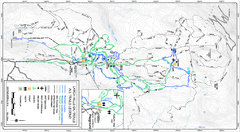
Larch Hills Nordics All Ski Trail Map
Trail map from Larch Hills Nordics, which provides night and nordic skiing. This ski area has its...
1559 miles away
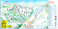
Hemlock Resort Ski Trail Map
Trail map from Hemlock Resort, which provides downhill and terrain park skiing. It has 4 lifts...
1560 miles away
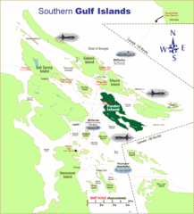
Southern Gulf Islands Map
Map of the region. Shows ferry routes.
1560 miles away
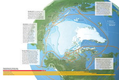
Northwest Passage Map
The ways travel could change if the Northwest Passage were to be re-opened
1563 miles away
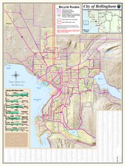
Bellingham, Washington City Map
1564 miles away
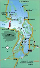
British Columbia, Canada Tourist Map
1564 miles away

The Town of Sidney - Parks Map
1565 miles away
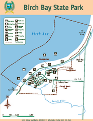
Birch Bay State Park Map
Map of park with detail of trails and recreation zones
1566 miles away

Kamchatka Peninsula Map
1566 miles away
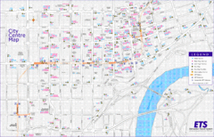
Edmonton Center Transportation Map
Bus and light rail public transportation map of center of Edmonton, Alberta, Canada.
1567 miles away
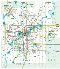
Edmonton Map
City street map of the metro Edmonton area in Alberta.
1567 miles away
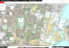
Edmonton, Alberta Tourist Map
1567 miles away
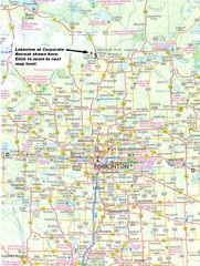
Edmonton, Alberta Tourist Map
1567 miles away

rthsaanich.ca District Map
1567 miles away
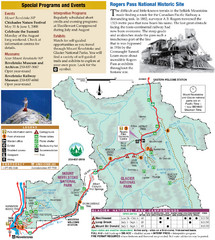
Glacier National Park and Revelstoke National...
Official park map of Glacier National Park and Revelstoke National Park in British Columbia, Canada.
1568 miles away

Revelstoke City Map
Overview map of Revelstoke, BC. Shows Points of Interest and activity icons
1568 miles away
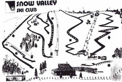
Snow Valley Ski Club ? Ski Trail Map
Trail map from Snow Valley Ski Club, which provides downhill skiing. This ski area has its own...
1568 miles away
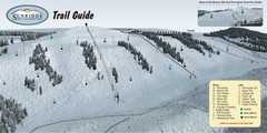
Sunridge Ski Area Ski Trail Map
Trail map from Sunridge Ski Area, which provides downhill skiing. This ski area has its own website.
1570 miles away
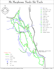
Mt Macpherson Nordic Ski Trail map
Nordic ski trail map of Mt Macpherson area near Revelstoke, BC. Shows trail names and distances in...
1570 miles away
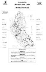
Mt. Macpherson Mountain Bike Trail Map
Mountain bike trail maps of Mt. Macpherson area and Mt. Mackenzie area right out of the town of...
1570 miles away
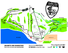
Rabbit Hill Ski and Snowboard Center Mountain...
Trail map from Rabbit Hill Ski and Snowboard Center, which provides downhill skiing. This ski area...
1570 miles away
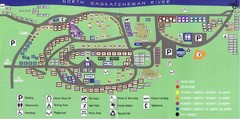
Devon Lions Park Campgrounds Map
1570 miles away
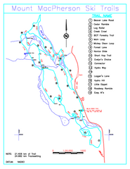
Revelstoke Nordic—Mount MacPherson Nordic Ski...
Trail map from Revelstoke Nordic—Mount MacPherson, which provides nordic skiing. This ski area...
1571 miles away
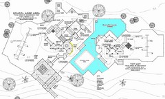
Lynden City Park Map
1571 miles away
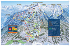
Revelstoke Ski Trail Map - Front side
Ski trail map of front side of Revelstoke ski area in Revelstoke, Canada from the 2008-2009 season.
1572 miles away
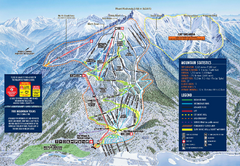
Revelstoke Ski Trail Map 2009-2010
Official ski trail map of Revelstoke Mountain Resort from the 2009-2010 season.
1572 miles away
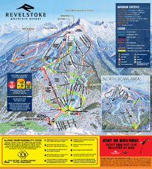
Revelstoke Ski Trail Map 2010-11
Ski trail map of Revelstoke Mountain Resort for the 2010-2011 season. Inset shows North Bowl area.
1572 miles away
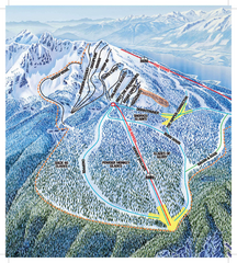
Revelstoke Ski Trail Map - North Bowl
Ski trail map of the North Bowl of Revelstoke ski area in Revelstoke, BC. From the 2008-2009...
1573 miles away
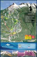
Revelstoke Ski Trail Map
Official ski trail map of Revelstoke ski area from the inaugural 2007-2008 season.
1573 miles away

Galloping Goose and Lochside Regional Trails Map
1574 miles away
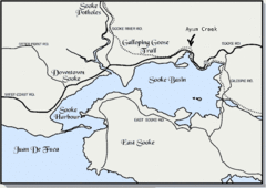
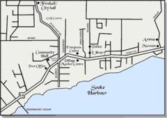
Community of Sooke, British Columbia Map
http://www.sooke.org/maps/map2.htm © Pax Media Inc.
1574 miles away
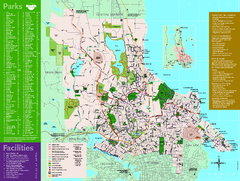
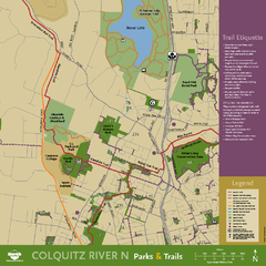
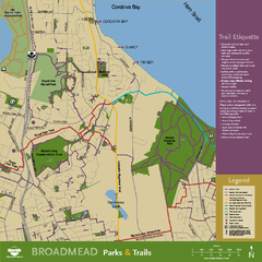
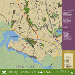
Full Map of Saanich Parks & Trails 2012
Full Map of Saanich Parks & Trails 2012
1575 miles away
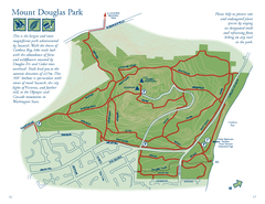
Mount Douglas Park Map
1576 miles away
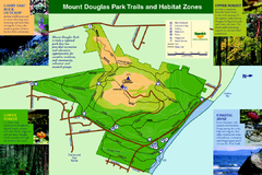
Mount Douglas Park Trails and Habitat Zones Map
1576 miles away
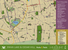
Swan Lake & Cedar Hill Area Map
Swan Lake & Cedar Hill Parks & Trails
1577 miles away

