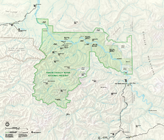
Yukon-Charley Rivers National Preserve Map
Detailed map of Yukon-Charley Rivers National Preserve in Alaska
296 miles away
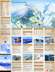
Alyeska Ski Trail Map
Official ski trail map of Alyeska ski area from the 2007-2008 season.
309 miles away
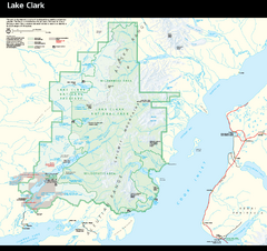
Lake Clark National Park & Preserve Park Map
Official NPS map of Lake Clark National Park & Preserve in Alaska. The park is open year-round...
315 miles away
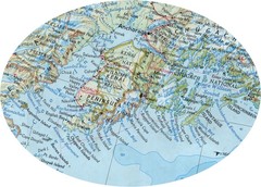
Alaska (Kenai Peninsula Map) Map
317 miles away
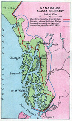
1903 Alaska boundary dispute Map
The Alaska Panhandle was object of a boundary dispute between USA and the Dominion of Canada...
319 miles away
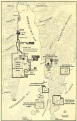
Resurrection Bay Area map
Recreation map for the Resurrection Bay area in Alaska
320 miles away
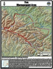
Tok, Alaska Tourist Map
322 miles away
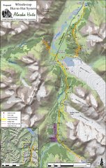
Whistlestop Proposed Hut System Map
Shows proposed huts along the Alaska Railroad’s Backcountry Whistlestop Project in Chugach...
322 miles away
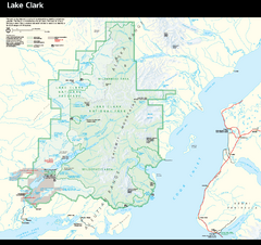
Lake Clark National Park and Preserve Map
Detailed map for Lake Clark National Park and Preserve
324 miles away

Bering Strait Map
326 miles away
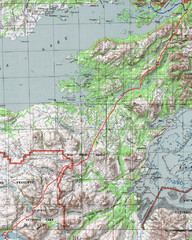
Alaska Peninsula Map
Map with trek route detail
345 miles away
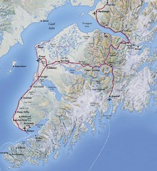
Kenai Peninsula, Alaska Map
348 miles away

Arctic Refuge Coastal Plain Map
Guide to birthplace and nursery grounds of the porcupine caribou herd
359 miles away
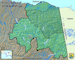
Arctic National Wildlife Refuge Boundary Map
Guide to the Arctic National Wildlife Refuge in Alaska
359 miles away
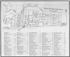
Nome, Alaska Map
369 miles away
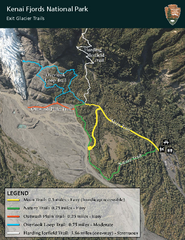
Kenai Fjords National Park Official Trail Map
Official NPS map of Kenai Fjords National Park in Alaska. Only shows hiking trails. Kenai Fjords...
374 miles away
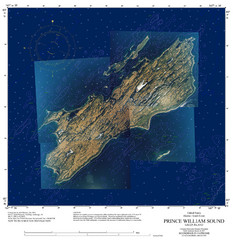
Green Island Map
Map of Green Island in Prince William Sound. Shows soundings in fathoms.
375 miles away

Homer, Alaska Map
378 miles away
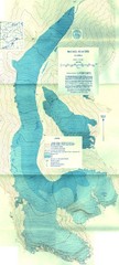
McCall Glacier Topo Map
Topographic map of the McCall Glacier in Alaska.
380 miles away

Iliamna lake Map
Largest lake in Alaska
387 miles away
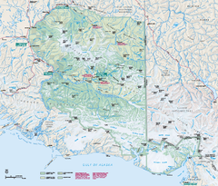
Wrangell - St Elias National Park & Preserve...
Official NPS map of Wrangell - St Elias National Park & Preserve in Alaska. The primary season...
394 miles away

Alaskan West Coast Islands Map
398 miles away
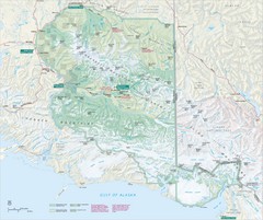
Wrangell-St. Elias National Park Map
Map of Wrangell-St. Elias National Park, Tetlin Wildlife Reserve, and Kluane National Park...
419 miles away
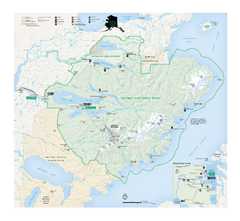
Katmai National Park & Preserve Official Park...
Official NPS map of Katmai National Park & Preserve in Alaska. Map shows all areas. The park...
452 miles away

Bering Strait Map
463 miles away

Kodiak Island and Alaska Peninsula Map
504 miles away
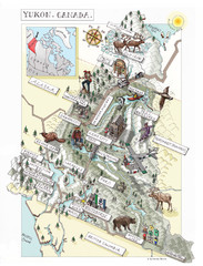
Yukon Territory Canada Map
527 miles away
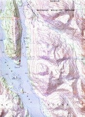
Kodiak Island Topo Map
Topo map of small portion of Kodiak Island
527 miles away
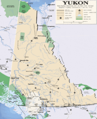
Yukon Map
Overview map of the Yukon Territory, Canada. Shows roads, airports, glaciers, game reserves, and...
599 miles away
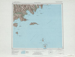
Sutwik Island Shaded Relief Map
607 miles away
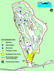
Mount Sima Ski Trail Map
Trail map from Mount Sima, which provides downhill skiing. This ski area has its own website.
640 miles away
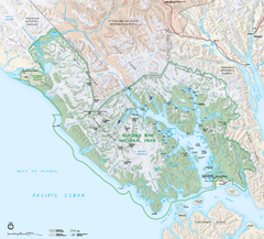
Glacier Bay National Park map
Detailed map of Glacier Bay National Park and Preservation in Alaska
672 miles away
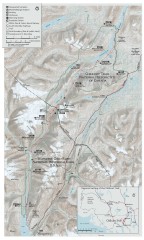
Chilkoot Trail Map
Trail map of the 33 mile Chilkoot Trail in Alaska, US and British Columbia, Canada. Lies in the...
676 miles away
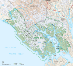
Glacier Bay National Park & Preserve Official...
Official NPS map of Glacier Bay National Park & Preserve in Alaska. Glacier Bay National Park...
678 miles away
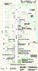
Klondike Gold Rush National Historical Park...
Official NPS map of Klondike Gold Rush National Historical Park in Alaska-Washington. Map shows all...
679 miles away

Inuviauit Settlement Region Map
Northern Alaskan regions
685 miles away
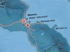
Map of Haines, Alaska
A map of Haines and the surrounding areas.
691 miles away
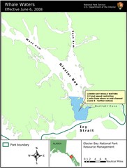
Glacier Bay National Park Whale Waters Map
Map of lower Glacier Bay whale waters include the waters extending from the mouth of Glacier Bay to...
711 miles away

