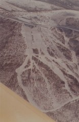
Cleary Summit Cleary Summit Ski Trail Map
Trail map from Cleary Summit. This ski area opened in 1953.
0 miles away
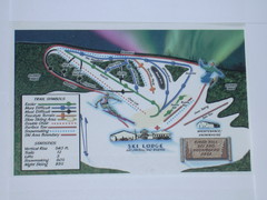
Birch Hill Ski Trail Map
Trail map from Birch Hill. This ski area opened in Pre 1963.
25 miles away
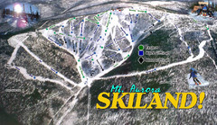
Mt Aurora Skiland Ski Trail Map
Trail map from Mt Aurora Skiland. It has 3 lifts. This ski area has its own <a href="http...
59 miles away

Alaska Detailed Map
113 miles away

Alaska Map
113 miles away

Alaska Map
113 miles away
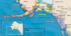
Alaska Ferry Routes Map
113 miles away
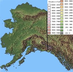
Alaska Topographic Map
113 miles away
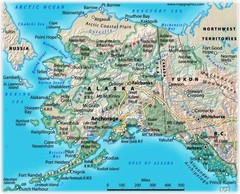
Alaska Road Map
113 miles away
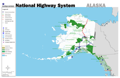
Alaska Road Map
113 miles away
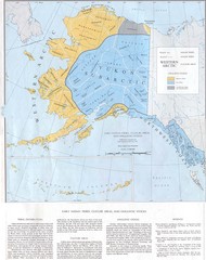
Early Native American Tribes in Alaska Historical...
113 miles away
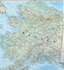
Alaska Map
Map of the state of Alaska that includes all roads, towns, county divisions, and basic terrain.
113 miles away
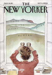
Palin's View From Alaska Map
Presidential Vice President Candidate Sarah Palin's view of Russia from Alaska. From scan of...
113 miles away
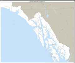
Alaska Zip Code Map
Check out this Zip code map and every other state and county zip code map zipcodeguy.com.
115 miles away
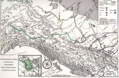
Alaska Highway Map
123 miles away
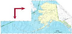
Alaska Map
133 miles away
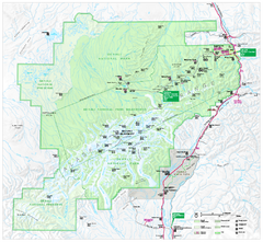
Denali National Park and Preserve map
Official NPS map of Denali National Park. Shows the entire park and surroundings. from nps.gov...
141 miles away
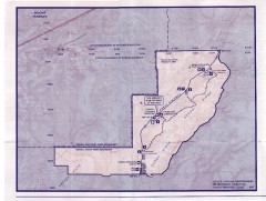
Denali State Park Map
Denali National Park and Preserve map
145 miles away
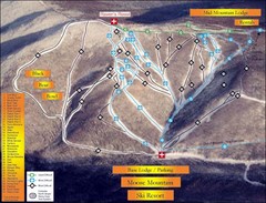
Moose Mountain Ski Trail Map
Trail map from Moose Mountain, which provides downhill skiing. It has 35 runs; the longest run is...
145 miles away
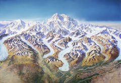
Mt. McKinley (Denali) Map
Oblique Panorama ma of Mt. Mckinley (Denali)
145 miles away
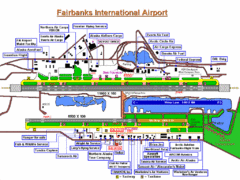
Fairbanks International Airport Map
150 miles away
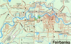
Fairbanks Alaska Map
153 miles away

Alaska Map
159 miles away
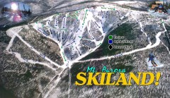
Mt. Aurora Skiland Ski Trail Map
Official ski trail map of Mt. Aurora Skiland ski area
161 miles away
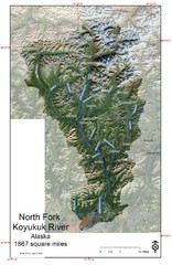
North Fork Koyukuk Watershed - Alaska Map
Map showing the North Fork Koyukuk River watershed, Alaska as explored by Bob Marshall in the 1930...
165 miles away
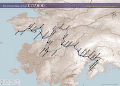
Iditarod Route Map
Official route map of the Iditarod, the famouse 1,150 mile dogsled race from Anchorage to Nome...
176 miles away
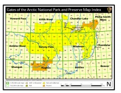
Gates of the Arctic National Park and Preserve...
Official NPS map of Gates of the Arctic National Park and Preserve in Alaska. Shows all areas. The...
176 miles away
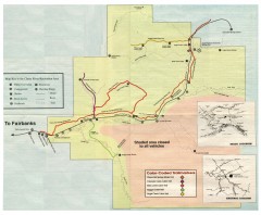
Chena River State Recreation Area map
Detailed map for Chena River State Recreation Area in Alaska
194 miles away
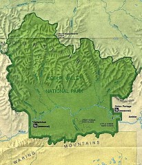
Kobuk Valley National Park Map
Official NPS map of Kobuk Valley National Park in Alaska. Kobuk Valley National Park is open year...
233 miles away
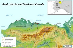
Arctic Alaska and Northwest Canada Map
Guide to northern Alaska and Canada, showing the ANWR, NPRA and pipelines
238 miles away
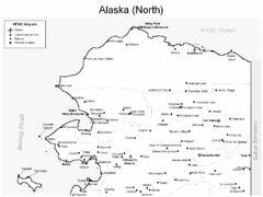
Northern Alaska Airports Map
240 miles away
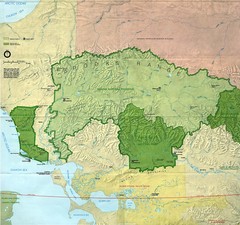
Kobuk Valley National Park and Noatak National...
NPS map of Kobuk Valley National Park and Noatak National Preserve, Alaska
257 miles away
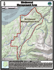
Birchwood, Alaska Tourist Map
275 miles away
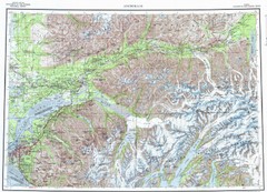
Anchorage Chugach State Park Topo Map
Topographic map of Chugach State Park, Anchorage, and surrounding area.
278 miles away
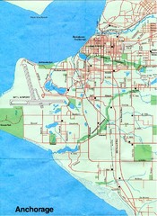
Anchorage Alaska Map
283 miles away
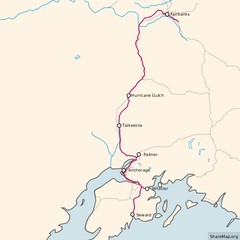
Alaska Railroad ma Map
Map of alaska normal gauga railroad. Licensed on Creative Commons Share Alike 3.0 license
284 miles away
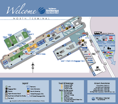
Ted Stevens Anchorage International Airport...
Airport Map of Ted Stevens Anchorage International Airport in Alaska. Map shows North Terminal and...
285 miles away
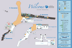
Ted Stevens Anchorage International Airport...
Official map of Ted Stevens Anchorage International Airport - South Terminal. Shows all concourses...
285 miles away
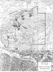
Chugach State Park Proposed Ski Area Map
Guide to Chugach State Park and proposed, but unbuilt, ski areas, now used for heli skiiing
289 miles away
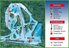
Hilltop Ski Area Ski Trail Map
Trail map from Hilltop Ski Area, which provides downhill, night, nordic, and terrain park skiing...
290 miles away

