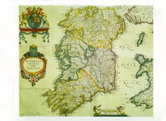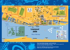
The Tall Ships Race in Liverpool Map
236 miles away

Schematic UK Postcode Map
Shows all postcode areas in the United Kingdom in shape of UK with London extracted.
236 miles away
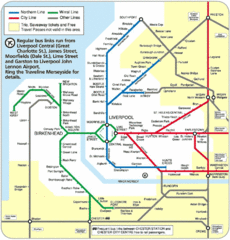
Liverpool Subway Map
Guide to Liverpool Merseyrail lines and stations
236 miles away
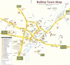
Ballina Town Map
236 miles away
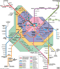
Leeds Metro Train Diagram Map
Metro system map for Leeds, England and surrounding cities.
237 miles away
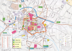
Leeds Tourist Map
Tourist map of city center of Leeds, UK
237 miles away
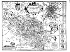
1610 Yorkshire County Historical Map
A 1610 map of Yorkshire Country in the United Kingdom
238 miles away
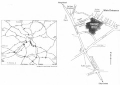
University of Leeds Campus Map
Various buildings on the University of Leeds campus
238 miles away
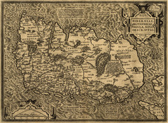
Ortelius’ Map of Ireland (1598)
Abraham Ortelius' map of Ireland in 1598.
239 miles away
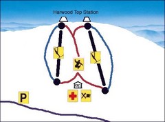
Harwood Sketch Ski Trail Map
Trail map from Harwood.
239 miles away
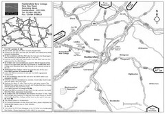
Huddersfield New College Location Map
239 miles away
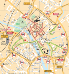
York Tourist Map
239 miles away
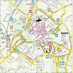
York England Tourist Map
Tourist map of York England showing roads, tourist sites ad railways.
239 miles away
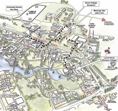
University of York Campus Map
Relevant landmarks and main roads and buildings
240 miles away
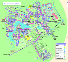
University of York Map - Heslington Campus
Campus map of the University of York Heslington Campus near York, England.
241 miles away
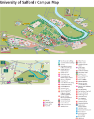
University of Salford Map
241 miles away
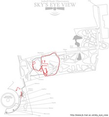
Jodrell Bank Observatory Map
Map of the Jodrell Bank Observatory. Shows location of parking lot, layout of the observatory...
242 miles away
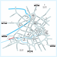
Manchester Overview Map
242 miles away
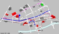
Manchester Map
242 miles away
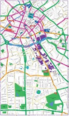
Manchester Map
242 miles away
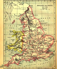
1660-1892 England and Wales Map
Guide to England and Wales from 1660-1892, showing topographic information
242 miles away
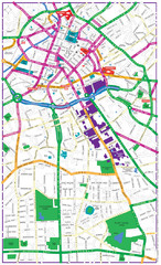
Manchester Tourist Map
Tourist map of Manchester, UK. Shows points of interest.
242 miles away
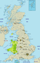
Wales Map
Guide to Wales and major cities in the United Kingdom
243 miles away
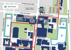
Manchester Business School Map
Map of Machester Business School at University of Manchester
243 miles away
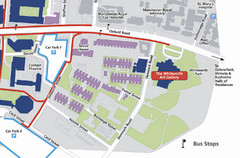
University of Manchester Map
Map of the University of Manchester with the Whitworth Art Gallery highlighted.
243 miles away
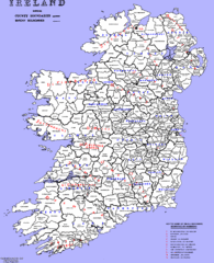
Ireland County/ Barony Map
Barony and County Map of Ireland
244 miles away
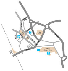
Wakefield Center Street Map
Crude street map of center of Wakefield, UK.
245 miles away
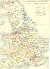
1887 - Prinicipal Railways in England and Wales...
Railways in England and Wales in 1887
245 miles away
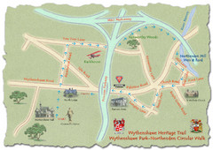
Wythenshawe Heritage Trail map
Northenden Circular Walk trail at Wythenshawe Park.
246 miles away
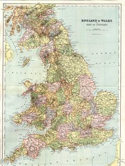
England and Wales Map
Guide to England, Wales and part of Scotland, showing counties
247 miles away
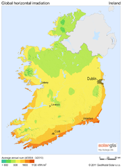
Solar Radiation Map of Ireland
Solar Radiation Map Based on high resolution Solar Radiation Database: SolarGIS. On the Solar Map...
255 miles away
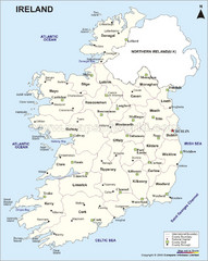
Ireland Political Map
255 miles away
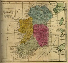
1808 Ireland Historical Map
255 miles away
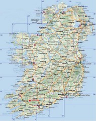
Ireland Tourist Map
255 miles away
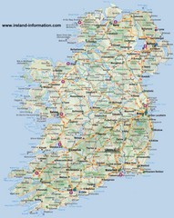
Ireland Travel Map
Map of Ireland detailing cities, major roads and airports.
255 miles away
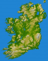
Ireland Topo Map
Shading and color-coding of topographic height.
255 miles away
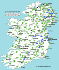
Road Map of Ireland
Road map of Ireland showing all motorways and major roads.
257 miles away
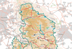
Peak District National Park Map
National Park map.
257 miles away
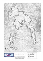
Bird Survey Map
Map of survey areas in the Peak District Moorland. Shows survey areas of 1990 and 2004.
260 miles away

