
Vegreville Tourist Map
Tourist map of Vegreville, Alberta. Shows points of interest.
277 miles away
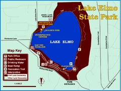
Lake Elmo State Park Map
This urban day-use park attracts visitors to swim, sailboard, and fish. A display in the Fish...
277 miles away
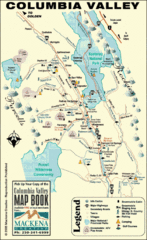
Columbia Valley Map
Easy to follow map and legend of this wilderness area.
279 miles away
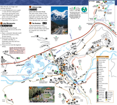
Banff National Park Map
Map of park with detail of trails and recreation zones
280 miles away
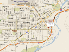
Billings, Montana City Map
280 miles away
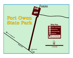
Fort Owen State Park Map
Fort Owen’s adobe and log remains preserves the site of the first permanent white settlement...
280 miles away
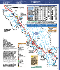
Banff National Park map
Official Parks Canada map of Banff National Park. Birthplace of Canada's national park system...
284 miles away
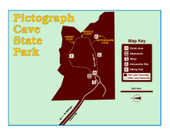
Pictograph Cave State Park Map
The 2,730-square-foot building, on the northwestern side of the existing parking lot, is designed...
284 miles away
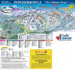
Lake Louise Ski Trail map - Ptarmigan/Paradise...
Official ski trail map of the Ptarmigan/Paradise/Back Bowls of Lake Louise ski area from the 2005...
286 miles away
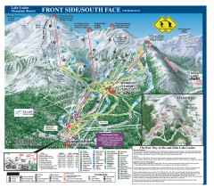
Lake Louise Ski Trail map - Front side/south face...
Official ski trail map of the front side/south face of Lake Louise ski area from the 2005-2006...
286 miles away
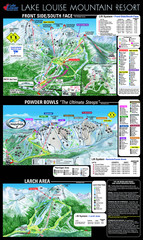
Lake Louise Trail Map
Ski area trail map for Lake Louise Mountain
287 miles away
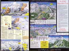
2007–08 2007–08 Ski Big 3 Side 2 (Lake Louise...
Trail map from Lake Louise, which provides downhill skiing. This ski area has its own website.
287 miles away
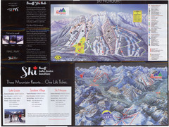
Lake Louise 2007–08 Ski Big 3 Side 1 (3...
Trail map from Lake Louise, which provides downhill skiing. This ski area has its own website.
287 miles away
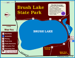
Brush Lake State Park Map
Simple and easily read map.
288 miles away
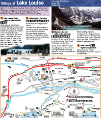
Lake Louise Area Map
Map of Lake Louise with detail of trails and recreation zones
288 miles away
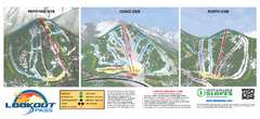
Lookout Pass Ski Trail Map
Official ski trail map of Lookout Pass ski area from the 2007-2008 season. Shows Montana, Idaho...
292 miles away
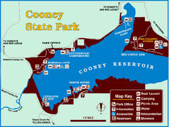
Cooney State Park Map
Simple and clear State Park Map.
295 miles away
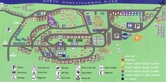
Devon Lions Park Campgrounds Map
296 miles away
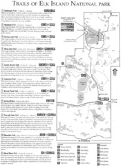
Elk Island National Park Trail Map
Map of hiking trails of Elk Island National Park, Alberta
296 miles away
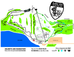
Rabbit Hill Ski and Snowboard Center Mountain...
Trail map from Rabbit Hill Ski and Snowboard Center, which provides downhill skiing. This ski area...
296 miles away

Mission Ridge Winter Park Ski Trail Map
Trail map from Mission Ridge Winter Park, which provides downhill skiing. This ski area has its own...
297 miles away
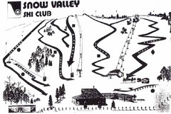
Snow Valley Ski Club ? Ski Trail Map
Trail map from Snow Valley Ski Club, which provides downhill skiing. This ski area has its own...
300 miles away
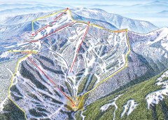
Schweitzer Ski Trail Map - Outback Bowl
Official ski trail map of back side of Schweitzer ski area from the 2007-2008 season.
301 miles away
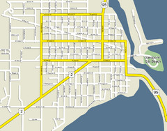
Sandpoint City Beach Map
Downtown Sandpoint Map.
301 miles away
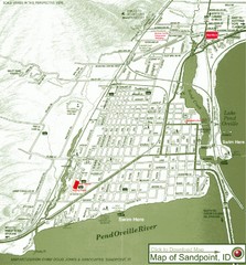
Map of Sandpoint, Idaho
Map of the entire town of Sandpoint including all streets, highways and other information.
301 miles away
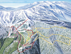
Schweitzer Mountain Trail Map
Ski trail map of Schweitzer Mountin
301 miles away
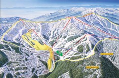
Schweitzer Ski Trail Map - Front
Official ski trail map of front side of Schweitzer ski area from the 2007-2008 season.
301 miles away

Schweitzer Mountain Trail Map
Map of ski trails
301 miles away
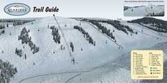
Sunridge Ski Area Ski Trail Map
Trail map from Sunridge Ski Area, which provides downhill skiing. This ski area has its own website.
301 miles away

Sandpoint City Map
Street map of downtown Sandpoint
302 miles away
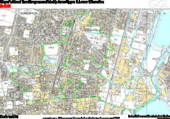
Edmonton, Alberta Tourist Map
302 miles away
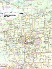
Edmonton, Alberta Tourist Map
302 miles away
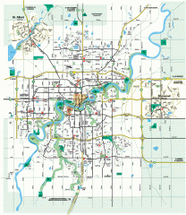
Edmonton Map
City street map of the metro Edmonton area in Alberta.
302 miles away
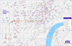
Edmonton Center Transportation Map
Bus and light rail public transportation map of center of Edmonton, Alberta, Canada.
302 miles away
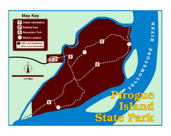
Pirogue Island State Park Map
Visitors find this isolated and undeveloped cottonwood-covered Yellowstone River island an...
303 miles away
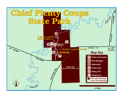
Chief Plenty Coups State Park Map
Simple and clear map of State Park.
303 miles away
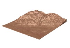
Emigrant Montana towards Baldy and Emigrant Peak...
Emigrant, MT towards Baldy and Emigrant Peak
304 miles away
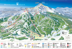
Moonlight Basin Ski Trail Map
Trail map from Moonlight Basin, which provides terrain park skiing. It has 8 lifts servicing 92...
306 miles away
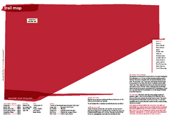
Silver Mountain Resort Ski Trail Map
Trail map from Silver Mountain Resort, which provides downhill, night, and terrain park skiing. It...
307 miles away

Big Sky Resort Lone Peak Detail Ski Trail Map
Trail map from Big Sky Resort, which provides terrain park skiing. It has 21 lifts servicing 150...
307 miles away

