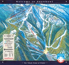
Montana Snowbowl Ski Trail Map
Trail map from Montana Snowbowl.
251 miles away
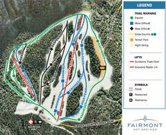
Fairmont Hot Springs Resort Ski Trail Map
Trail map from Fairmont Hot Springs Resort.
252 miles away
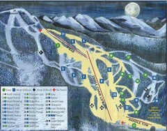
Marshall Mountain Ski Trail Map
Trail map from Marshall Mountain.
253 miles away
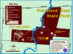
Travelers' Rest State Park Map
The Lewis and Clark expedition camped here twice during their historic journey to locate the...
254 miles away
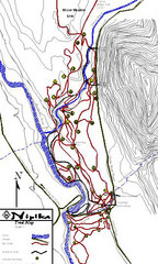
Nipika Ski Trail Map
Trail map from Nipika, which provides nordic skiing. This ski area has its own website.
254 miles away
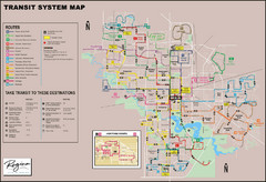
Regina Transit Map
Bus route map of the city of Regina, Saskatchewan, Canada.
256 miles away
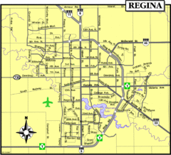
Regina Map
Street map of downtown Regina
257 miles away
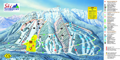
Norquay Map
Ski trail map
257 miles away
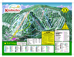
Kimberley Alpine Resort Ski Trail Map
Trail map from Kimberley Alpine Resort.
257 miles away
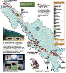
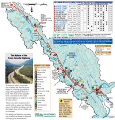
Banff National Park Map
258 miles away
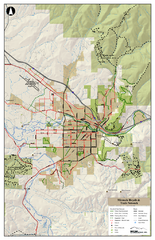
Missoula Bike Trails Map
Road and Mt. Bike trails with a bit of topology near Missoua
258 miles away

Missoula Trail System Map
Basic Map of Hike/Bike/Run Trail system for Missoula MT
258 miles away

Missoula, Montana City Map
258 miles away
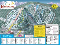
Kimberley Ski Trail Map
Official ski trail map of Kimberley ski area from the 2007-2008 season.
258 miles away
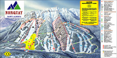
Banff Mount Norquay Ski Trail Map
Trail map from Banff Mount Norquay, which provides downhill skiing. This ski area has its own...
258 miles away
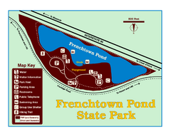
Frenchtown Pond State Park Map
Plan to bring everyone in the family to this day-use-only park for a whole afternoon of picnicking...
258 miles away
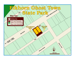
Elkhorn Ghost Town State Park Map
Clearly marked map of old 1880's ghost town with impressive structures.
260 miles away
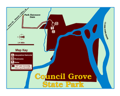
Council Grove State Park Map
Clearly marked map.
261 miles away
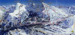
Sunshine Village Ski Trail Map
Official ski trail map of Sunshine Village ski area.
262 miles away
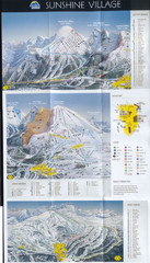
Banff’s Sunshine Village Ski Trail Map
Trail map from Banff’s Sunshine Village.
263 miles away
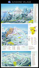
Sunshine Trail Map
Trail map of Sunshine Village
263 miles away
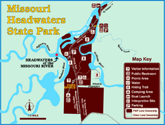
Missouri Headwaters State Park Map
This park encompasses the confluence of the Jefferson, Madison and Gallatin Rivers. The Lewis and...
264 miles away
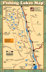
Radium Hot Springs Fishing Map
Beautiful map of the many fishing spots at this amazing site.
266 miles away
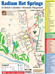
Radium Hot Springs Map
An easy to read map of this amazing hot springs area.
266 miles away

Bridger Bowl Ski Area Ski Trail Map
Trail map from Bridger Bowl Ski Area.
267 miles away
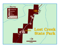
Lost Creek State Park Map
These spectacular gray limestone cliffs and pink and white granite formations rise 1,200 feet above...
270 miles away
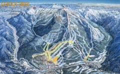
Panorama Ski Trail Map
Official ski trail map of Panorama ski area from the 2006-2007 season.
270 miles away

Panorama Trail Map
Ski trail map
271 miles away
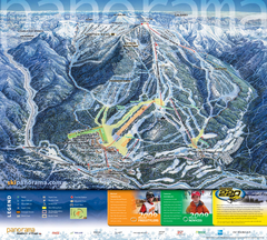
Panorama Mountain Village Ski Trail Map
Trail map from Panorama Mountain Village.
271 miles away
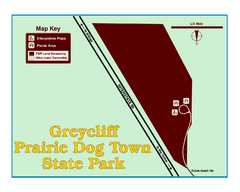
Greycliff Prairie Dog Town State Park Map
Grab your camera and hop off Interstate 90 at Greycliff to delight in the playful, curious black...
271 miles away
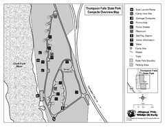
Thompson Falls State Park Map
This shaded, quiet campground is located on the Clark Fork River near the town of Thompson Falls in...
273 miles away
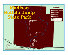
Madison Buffalo Jump State Park Map
You’ll find this day-use-only park seven graveled miles off Interstate 90 at the Logan exit...
273 miles away
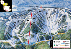
Discovery Basin Ski Area B Ski Trail Map
Trail map from Discovery Basin Ski Area.
273 miles away
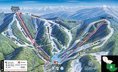
Discovery Basin Ski Area A Ski Trail Map
Trail map from Discovery Basin Ski Area.
273 miles away
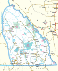
Kootenay Mountains Map
273 miles away
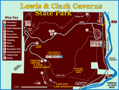
Lewis and Clark Caverns State Park Map
Montana's first and best-known state park showcases one of the most highly decorated limestone...
275 miles away
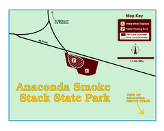
Anaconda Smoke Stack State Park Map
Simple map of State Park.
275 miles away

