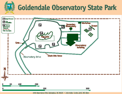
Goldendale State Park Map
Map of park with detail of trails and recreation zones
557 miles away
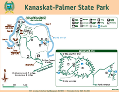
Kanaskat-Palmer State Park Map
Map of park with detail of trails and recreation zones
557 miles away
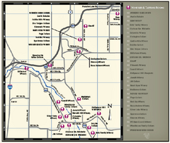
Woodinville Wine Country Map
Map of wineries in the Woodinville, WA area
557 miles away
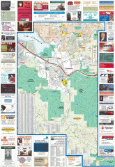
Issaquah tourist map
Issaquah, Washington tourist map. Shows all businesses.
557 miles away

Woodinville tourist map
Tourist map of Woodinville, Washington. Shows all businesses.
557 miles away
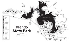
Glendo State Park Map
Glendo State Park is best known for its excellent boating opportunities, with plenty of areas for...
557 miles away

Shadowrun Redmond Map
557 miles away
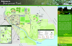
Marymoor Park Map
558 miles away
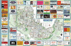
Redmond tourist map
Tourist map of Redmond, Washington. Shows all businesses.
558 miles away
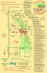
Sammamish Valley Guide Map
558 miles away
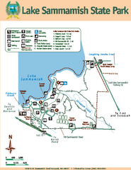
Lake Sammamish State Park Map
Map of island with detail of trails and recreation zones
558 miles away
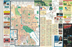
Redmond Area tourist map
Tourist map of the Redmond Area on Washington. Shows all businesses.
559 miles away
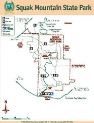
Squak Mountain State Park Map
Map of park with detail of trails and recreation zones
559 miles away
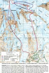
Mount Rainier Topo Map
Map of Mount Rainier Ascent. We ascended the "Muir Snowfield" and then went up the "...
559 miles away
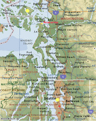
Washington State - West Coast Map
Washington State - West Coast Map
559 miles away
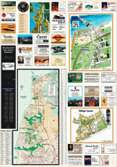
Mukilteo tourist map
Greater Mukilteo, Washington tourist map. Shows all businesses.
559 miles away

Greater Kirkland tourist map
Tourist map of Greater Kirkland, Washington. Shows all businesses.
559 miles away
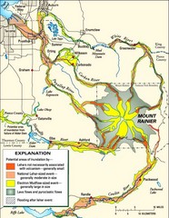
Mount Rainier Potential Lava Flow, Mud Flow and...
Hazard zones for lahars, lava flows, and pyroclastic flows from Mount Rainier. The map shows areas...
559 miles away
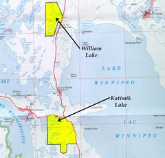
Lake Winnipeg Map
Lake Winnipeg and the land surrounding it.
559 miles away
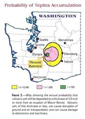
Mount Rainier Probability of Tephra (Ash...
559 miles away
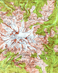
Mount Rainier Topographic Map
Guide to topography and glaciers of Mount Rainier
559 miles away
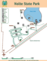
Nolte State Park Map
Map of park with detail of trails and recreation zones
560 miles away
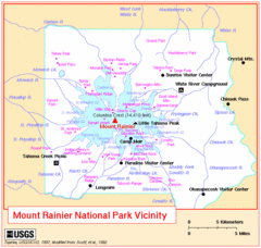
Mount Rainier National Park Vicinity Map
560 miles away
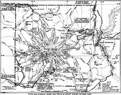
1928 Mount Rainier National Park Map
Guide to Mount Rainier National Park in 1938
560 miles away
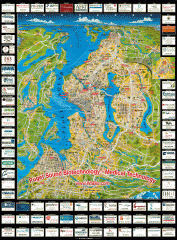
Puget Sound biotech map
Map of Puget Sound area biotechnology companies.
560 miles away
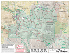
Cougar Mountain Park Trail Map
Trail map of Cougar Mountain Regional Wildland Park, part of the "Issaquah Alps"
561 miles away
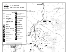
Garibaldi Provincial Park Map
Park map of Garibaldi Provincial Park, BC. 2 pages.
561 miles away
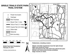
Bridle Trails State Park Map
561 miles away
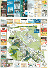
Mukilteo tourist map
Mukilteo, Washington tourist map. Shows all businesses.
561 miles away
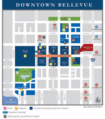
Downtown Bellevue Map
Driving Directions and Downtown Map
561 miles away
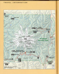
Mount Rainier National Park Map
Guide to the Mount Rainier National Park
561 miles away
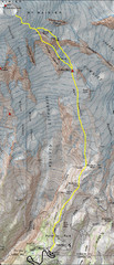
Mount Rainier Climbing Map
Guide to climbing Mount Rainier, Camp Muir Route
562 miles away
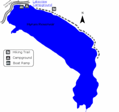
Hyrum State Park Map
Tucked away in Cache County, Hyrum State Park offers many recreation opportunities including...
562 miles away
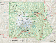
Mount Rainier National Park map
Official NPS map of Mt. Rainier National Park. Shows the entire park and surroundings
562 miles away
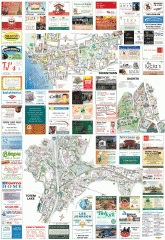
Kirkland tourist map
Kirkland, Washington tourist map. Shows all businesses.
562 miles away
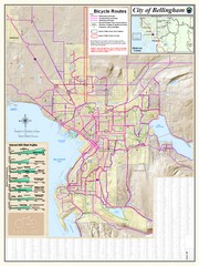
Bellingham, Washington City Map
562 miles away
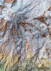
Mt. Rainier Climbing Routes Map
Shows major climbing routes on Mt. Rainier on southwest part of mountain.
563 miles away
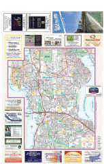
Bellevue tourist map
Tourist map of Bellevue, Washington. Shows all businesses.
563 miles away
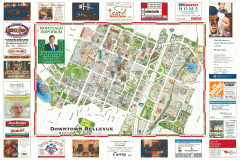
Tourist map of Downtown Bellevue
Tourist map of Downtown Bellevue, Washington. Shows all businesses.
563 miles away

